1240 Prince Rd Big Sandy, TN 38221
Estimated Value: $780,690 - $884,000
3
Beds
2
Baths
3,360
Sq Ft
$252/Sq Ft
Est. Value
About This Home
This home is located at 1240 Prince Rd, Big Sandy, TN 38221 and is currently estimated at $847,673, approximately $252 per square foot. 1240 Prince Rd is a home located in Benton County with nearby schools including Big Sandy School.
Ownership History
Date
Name
Owned For
Owner Type
Purchase Details
Closed on
Dec 6, 2024
Sold by
Kaigler David
Bought by
Emerich William G and Emerich Jennifer A
Current Estimated Value
Home Financials for this Owner
Home Financials are based on the most recent Mortgage that was taken out on this home.
Original Mortgage
$730,199
Outstanding Balance
$724,174
Interest Rate
6.54%
Mortgage Type
New Conventional
Estimated Equity
$123,499
Purchase Details
Closed on
Jun 27, 2011
Sold by
Kaigler Mary Katherine Pat
Bought by
Kaigler David
Purchase Details
Closed on
Feb 1, 2006
Sold by
Brewer Phillip K
Bought by
Kaigler Katherine P
Purchase Details
Closed on
Apr 25, 1991
Bought by
Brewer Phillip K and Brewer Janis J
Purchase Details
Closed on
Apr 4, 1966
Bought by
Coke Coke J and Coke Doris
Create a Home Valuation Report for This Property
The Home Valuation Report is an in-depth analysis detailing your home's value as well as a comparison with similar homes in the area
Home Values in the Area
Average Home Value in this Area
Purchase History
| Date | Buyer | Sale Price | Title Company |
|---|---|---|---|
| Emerich William G | $768,630 | None Listed On Document | |
| Kaigler David | -- | -- | |
| Kaigler Katherine P | $395,000 | -- | |
| Brewer Phillip K | $30,000 | -- | |
| Coke Coke J | -- | -- |
Source: Public Records
Mortgage History
| Date | Status | Borrower | Loan Amount |
|---|---|---|---|
| Open | Emerich William G | $730,199 |
Source: Public Records
Tax History Compared to Growth
Tax History
| Year | Tax Paid | Tax Assessment Tax Assessment Total Assessment is a certain percentage of the fair market value that is determined by local assessors to be the total taxable value of land and additions on the property. | Land | Improvement |
|---|---|---|---|---|
| 2024 | $2,697 | $98,900 | $22,025 | $76,875 |
| 2023 | $2,697 | $98,900 | $22,025 | $76,875 |
| 2022 | $2,697 | $98,900 | $22,025 | $76,875 |
| 2021 | $2,697 | $98,900 | $22,025 | $76,875 |
| 2020 | $2,700 | $98,900 | $22,025 | $76,875 |
| 2019 | $2,795 | $94,750 | $21,175 | $73,575 |
| 2018 | $2,795 | $94,750 | $21,175 | $73,575 |
| 2017 | $2,795 | $94,750 | $21,175 | $73,575 |
| 2016 | $2,795 | $94,750 | $21,175 | $73,575 |
| 2015 | $2,833 | $94,750 | $21,175 | $73,575 |
| 2014 | $2,273 | $94,750 | $21,175 | $73,575 |
| 2013 | $2,273 | $77,323 | $0 | $0 |
Source: Public Records
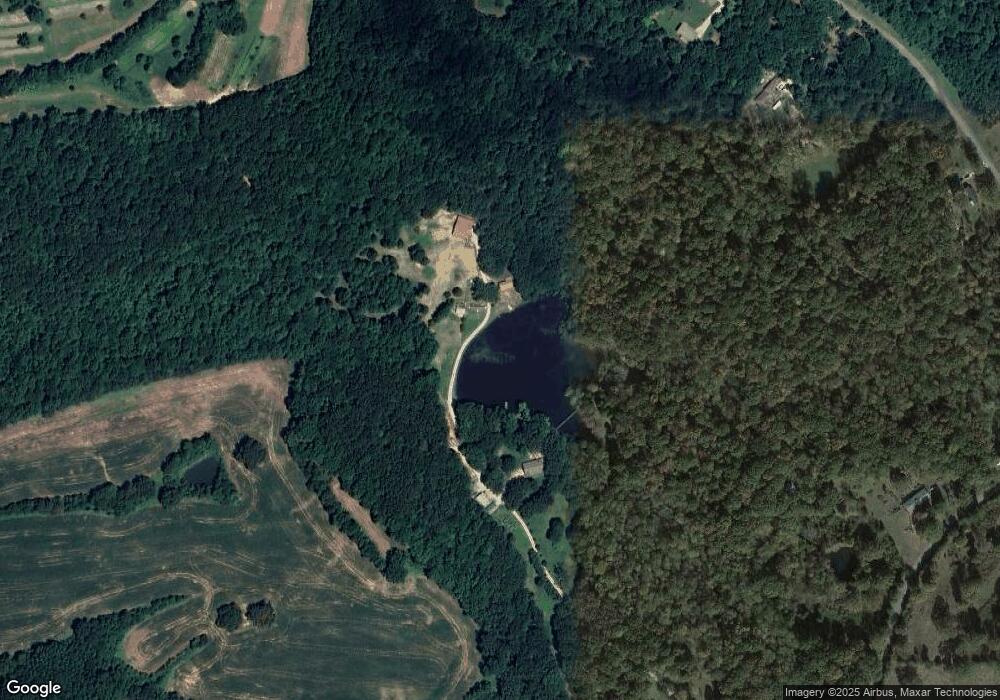
Map
Nearby Homes
- 1530 Prince Rd
- 540 Rolling Oak Dr
- 175 Rolling Oak Dr
- 3636 Reynoldsburg Rd
- 9825 Highway 69a
- 179 French Ln
- 674 Cantrell Rd
- 0 Mount Zion Rd
- 1779 Mount Zion Rd
- 3855 Sulphur Creek Rd
- 4820 Highway 641 N
- 0 Hwy 641 N Unit 134811
- 0 Hwy 641 N Unit RTC2699308
- 0 Hwy 641 N Unit 131394
- 0 Hwy 641 N Unit 124817
- 5132 Sulphur Creek Rd
- 5460 Sulphur Creek Rd
- 0 Flatwoods Rd
- 000 Williams Grove Rd
- 309 Asbury Rd