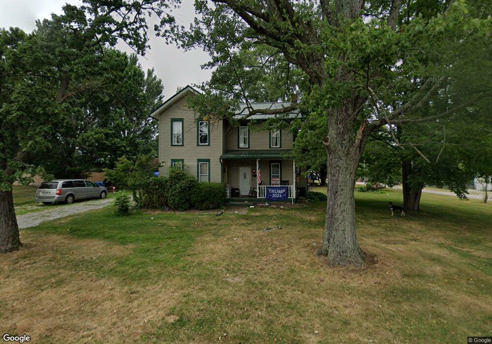
12403 Beechlawn Ave NE Alliance, OH 44601
Estimated Value: $160,390 - $181,000
2
Beds
2
Baths
1,400
Sq Ft
$119/Sq Ft
Est. Value
About This Home
This home is located at 12403 Beechlawn Ave NE, Alliance, OH 44601 and is currently estimated at $167,098, approximately $119 per square foot. 12403 Beechlawn Ave NE is a home located in Stark County with nearby schools including Marlington High School.
Ownership History
Date
Name
Owned For
Owner Type
Purchase Details
Closed on
Apr 6, 2023
Sold by
Mcdougal Linda A
Bought by
Risner Kaylin M
Current Estimated Value
Purchase Details
Closed on
Jan 28, 1999
Sold by
Rose Margaret J
Bought by
Rose Jonathan E and Rose Linda A
Home Financials for this Owner
Home Financials are based on the most recent Mortgage that was taken out on this home.
Original Mortgage
$22,000
Interest Rate
6.75%
Mortgage Type
Purchase Money Mortgage
Purchase Details
Closed on
Apr 14, 1992
Create a Home Valuation Report for This Property
The Home Valuation Report is an in-depth analysis detailing your home's value as well as a comparison with similar homes in the area
Home Values in the Area
Average Home Value in this Area
Purchase History
| Date | Buyer | Sale Price | Title Company |
|---|---|---|---|
| Risner Kaylin M | -- | -- | |
| Rose Jonathan E | -- | -- | |
| Rose Jonathan | -- | Tower City Title Agency Llc | |
| -- | $30,000 | -- |
Source: Public Records
Mortgage History
| Date | Status | Borrower | Loan Amount |
|---|---|---|---|
| Previous Owner | Rose Jonathan | $22,000 |
Source: Public Records
Tax History Compared to Growth
Tax History
| Year | Tax Paid | Tax Assessment Tax Assessment Total Assessment is a certain percentage of the fair market value that is determined by local assessors to be the total taxable value of land and additions on the property. | Land | Improvement |
|---|---|---|---|---|
| 2025 | $1,013 | $47,740 | $8,820 | $38,920 |
| 2024 | -- | $47,740 | $8,820 | $38,920 |
| 2023 | $1,936 | $32,970 | $6,720 | $26,250 |
| 2022 | $1,241 | $32,970 | $6,720 | $26,250 |
| 2021 | $1,245 | $32,970 | $6,720 | $26,250 |
| 2020 | $1,100 | $26,640 | $5,640 | $21,000 |
| 2019 | $1,092 | $26,650 | $5,640 | $21,010 |
| 2018 | $1,045 | $26,650 | $5,640 | $21,010 |
| 2017 | $818 | $19,190 | $4,900 | $14,290 |
| 2016 | $819 | $19,190 | $4,900 | $14,290 |
| 2015 | $821 | $19,190 | $4,900 | $14,290 |
| 2014 | $774 | $16,730 | $4,270 | $12,460 |
| 2013 | $379 | $16,730 | $4,270 | $12,460 |
Source: Public Records
Map
Nearby Homes
- 0 New Milford Rd Unit 5119787
- 0 Reeder Ave NE
- 12355 Edison St NE
- 12415 Snode St NE
- 7377 Pontius St NE
- 4829 Laubert Rd
- 6180 Edison St NE
- 11960 Freshley Ave NE
- 167 State Route 44
- 14920 Mccallum Ave NE
- 10666 Wilma Ave NE
- 5615 Laubert Rd
- 13109 Edison St NE
- 3952 Laubert Rd
- 0 Meadow St NE
- 13334 Cindy St NE
- 0 Pontius St NE
- 11480 Aebi Ave NE
- 90 N Jefferson St
- 3990 Edison St NE
- 9529 Edison St NE
- 9505 Edison St NE
- 9496 Foxvale St NE
- 12429 Beechlawn Ave NE
- 9487 Edison St NE
- 0 Edison Unit 3333288
- 9499 Foxvale St NE
- 12441 Beechlawn Ave NE
- 9500 Edison St NE
- 9500 Easton St
- 9560 Edison St NE
- 12403 Marlboro Ave NE
- 9478 Edison St NE
- 12387 Marlboro Ave NE
- 12425 Marlboro Ave NE
- 9576 Edison St NE
- 12437 Marlboro Ave NE
- 9527 Saint Peters Church Rd NE
- 9536 Dellcrest St NE
- 12449 Marlboro Ave NE