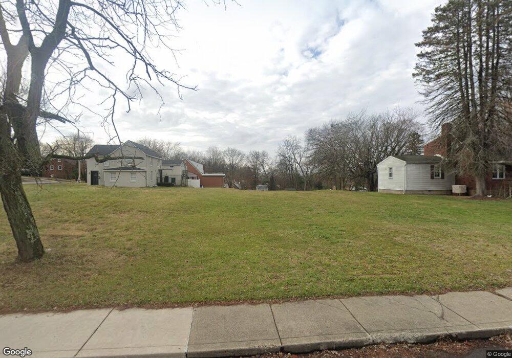
12409 Frankstown Rd Pittsburgh, PA 15235
Penn Hills Township NeighborhoodEstimated Value: $259,000
4
Beds
2
Baths
2,519
Sq Ft
$103/Sq Ft
Est. Value
About This Home
This home is located at 12409 Frankstown Rd, Pittsburgh, PA 15235 and is currently estimated at $259,000, approximately $102 per square foot. 12409 Frankstown Rd is a home located in Allegheny County with nearby schools including Penn Hills Elementary School, Linton Middle School, and Penn Hills Senior High School.
Ownership History
Date
Name
Owned For
Owner Type
Purchase Details
Closed on
Mar 27, 2024
Sold by
Allegheny Cnty Redevelop Auth
Bought by
Wade White Therone and White Therone Wade
Current Estimated Value
Purchase Details
Closed on
Feb 2, 2024
Sold by
Redevelopment Authority Of Alleghenycoun
Bought by
Wade-White Therone
Purchase Details
Closed on
Oct 17, 2023
Sold by
Skerlak Frank S
Bought by
Redevelopment Auth Of Allegheny County
Purchase Details
Closed on
Dec 28, 1990
Bought by
Skerlak Frank S
Create a Home Valuation Report for This Property
The Home Valuation Report is an in-depth analysis detailing your home's value as well as a comparison with similar homes in the area
Home Values in the Area
Average Home Value in this Area
Purchase History
| Date | Buyer | Sale Price | Title Company |
|---|---|---|---|
| Wade White Therone | $2,500 | -- | |
| Wade-White Therone | $2,500 | -- | |
| Redevelopment Auth Of Allegheny County | -- | -- | |
| Redevelopment Auth Of Allegheny County | -- | -- | |
| Skerlak Frank S | $64,500 | -- |
Source: Public Records
Tax History Compared to Growth
Tax History
| Year | Tax Paid | Tax Assessment Tax Assessment Total Assessment is a certain percentage of the fair market value that is determined by local assessors to be the total taxable value of land and additions on the property. | Land | Improvement |
|---|---|---|---|---|
| 2025 | $530 | $12,700 | $12,700 | -- |
| 2024 | $530 | $12,700 | $12,700 | -- |
| 2023 | $530 | $12,700 | $12,700 | $0 |
| 2022 | $524 | $12,700 | $12,700 | $0 |
| 2021 | $142 | $12,700 | $12,700 | $0 |
| 2020 | $2,434 | $12,700 | $12,700 | $0 |
| 2019 | $2,434 | $61,100 | $12,700 | $48,400 |
| 2018 | $289 | $61,100 | $12,700 | $48,400 |
| 2017 | $2,229 | $61,100 | $12,700 | $48,400 |
| 2016 | $289 | $61,100 | $12,700 | $48,400 |
| 2015 | $289 | $61,100 | $12,700 | $48,400 |
| 2014 | $2,097 | $61,100 | $12,700 | $48,400 |
Source: Public Records
Map
Nearby Homes
- 100 Spring Grove Rd
- 120 Glenfield Dr
- 120A Sycamore Dr
- 166 Shenandoah Dr
- 10753 Rear Frankstown
- 227 Yosemite Dr
- 125 Orchard Dr
- 166 Spring Grove Rd
- 175 Crescent Hills Rd
- 111 Yosemite Dr
- 12128 Harvard Dr
- 430 Parkridge Dr
- 116 Yellowstone Dr
- 192 Glenfield Dr
- 252 Shenandoah Dr
- 611 National Dr
- 318 Earlwood Rd
- 163 Universal Rd
- 131 Castle Dr
- 432 Earlwood Rd
- 12411 Frankstown Rd
- 102 Spring Grove Rd
- 12419 Frankstown Rd
- 12345 Frankstown Rd
- 104 Spring Grove Rd
- 12400 Frankstown Rd
- 99 Glenfield Dr
- 101 Glenfield Dr
- 12406 Frankstown Rd
- 103 Spring Grove Rd
- 12339 Frankstown Rd
- 12420 Frankstown Rd
- 105 Spring Grove Rd
- 106 Spring Grove Rd
- 103 Glenfield Dr
- 105 Glenfield Dr
- 12339 Maytime Way
- 12335 Frankstown Rd
- 107 Spring Grove Rd
- 12424 Frankstown Rd