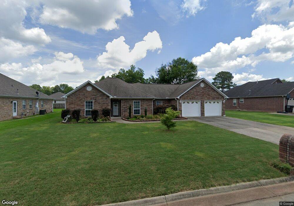
1241 Commons Dr Jacksonville, AR 72076
Estimated Value: $266,000 - $299,000
3
Beds
2
Baths
1,891
Sq Ft
$148/Sq Ft
Est. Value
About This Home
This home is located at 1241 Commons Dr, Jacksonville, AR 72076 and is currently estimated at $280,644, approximately $148 per square foot. 1241 Commons Dr is a home located in Pulaski County with nearby schools including Bayou Meto Elementary School, Jacksonville Middle School, and Jacksonville High School.
Ownership History
Date
Name
Owned For
Owner Type
Purchase Details
Closed on
Sep 24, 2010
Sold by
Arthur Tommy F and Arthur Blanche A
Bought by
Jones John A and Jones Linda S
Current Estimated Value
Home Financials for this Owner
Home Financials are based on the most recent Mortgage that was taken out on this home.
Original Mortgage
$75,000
Interest Rate
3.91%
Mortgage Type
New Conventional
Purchase Details
Closed on
Apr 25, 2003
Sold by
Parker Harold E
Bought by
Arthur Tommy F and Arthur Blanche A
Home Financials for this Owner
Home Financials are based on the most recent Mortgage that was taken out on this home.
Original Mortgage
$75,000
Interest Rate
5.21%
Mortgage Type
Purchase Money Mortgage
Purchase Details
Closed on
Jan 24, 2003
Sold by
Jones Richard Leon
Bought by
Parker Harold E
Create a Home Valuation Report for This Property
The Home Valuation Report is an in-depth analysis detailing your home's value as well as a comparison with similar homes in the area
Home Values in the Area
Average Home Value in this Area
Purchase History
| Date | Buyer | Sale Price | Title Company |
|---|---|---|---|
| Jones John A | $173,000 | United Abstract & Title Co | |
| Arthur Tommy F | $154,000 | United Abstract & Title Co | |
| Parker Harold E | $23,000 | -- |
Source: Public Records
Mortgage History
| Date | Status | Borrower | Loan Amount |
|---|---|---|---|
| Closed | Jones John A | $75,000 | |
| Previous Owner | Arthur Tommy F | $75,000 |
Source: Public Records
Tax History Compared to Growth
Tax History
| Year | Tax Paid | Tax Assessment Tax Assessment Total Assessment is a certain percentage of the fair market value that is determined by local assessors to be the total taxable value of land and additions on the property. | Land | Improvement |
|---|---|---|---|---|
| 2025 | $2,271 | $41,153 | $5,200 | $35,953 |
| 2024 | $1,990 | $41,153 | $5,200 | $35,953 |
| 2023 | $1,990 | $41,153 | $5,200 | $35,953 |
| 2022 | $2,271 | $41,153 | $5,200 | $35,953 |
| 2021 | $2,271 | $36,980 | $6,300 | $30,680 |
| 2020 | $1,896 | $36,980 | $6,300 | $30,680 |
| 2019 | $1,896 | $36,980 | $6,300 | $30,680 |
| 2018 | $1,921 | $36,980 | $6,300 | $30,680 |
| 2017 | $1,921 | $36,980 | $6,300 | $30,680 |
| 2016 | $2,007 | $37,310 | $6,920 | $30,390 |
| 2015 | $1,851 | $37,310 | $6,920 | $30,390 |
| 2014 | $1,851 | $34,410 | $6,920 | $27,490 |
Source: Public Records
Map
Nearby Homes
- 7620 T P White Dr
- 3636 T P White Dr
- 3404 T P White Dr
- 113 Shawnee Place
- 110 Chickasaw Place
- 5808 Rope Trail
- 104 Foxdell Cir
- 1008 Parham Dr
- 134 Foxdell Cir
- 5608 Rope Trail
- 5104 Rope Trail
- 5005 Rope Trail
- 24 Woodland Dr
- 10 Woodland Dr
- 108 Dale Dr
- 3005 T P White Dr
- 2800 Gray Fox Ln
- 2718 Gray Fox Ln
- 7824 T P White Dr
- 2706 Northeastern Ave
- 1243 Commons Dr
- 1239 Commons Dr
- 3808 John Harden Dr
- 1703 Puritan Dr
- 1237 Commons Dr
- 3804 John Harden Dr
- 1238 Commons Dr
- 1242 Commons Dr
- 1700 Puritan Dr
- 1612 Puritan Dr
- 1235 Commons Dr
- 1236 Commons Dr
- 1608 Puritan Dr
- 1229 Windsor Ct
- 1704 Puritan Dr
- 3708 John Harden Dr
- 1231 Windsor Ct
- 0 Commons Unit 15034403
- 0 Commons Unit 17020164
- 0 Commons Unit 1406 Lost Creek Dr