1241 S 775 E Waldron, IN 46182
Estimated Value: $208,000 - $317,000
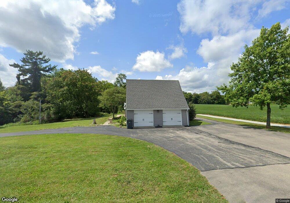
About This Home
This home is located at 1241 S 775 E, Waldron, IN 46182 and is currently estimated at $250,115, approximately $112 per square foot. 1241 S 775 E is a home located in Shelby County with nearby schools including Waldron Elementary School and Waldron Junior/Senior High School.
Ownership History
We collect this data history from publicly available records. To have your information removed, we recommend requesting removal directly through your county’s website.
Purchase Details
Purchase Details
Purchase Details
Purchase Details
Home Values in the Area
Average Home Value in this Area
Purchase History
We collect this data history from publicly available records. To have your information removed, we recommend requesting removal directly through your county’s website.
| Date | Buyer | Sale Price | Title Company |
|---|---|---|---|
| -- | None Listed On Document | ||
| -- | None Listed On Document | ||
| -- | None Listed On Document | ||
| -- | None Available |
Tax History
We collect this data history from publicly available records. To have your information removed, we recommend requesting removal directly through your county’s website.
| Year | Tax Paid | Tax Assessment Tax Assessment Total Assessment is a certain percentage of the fair market value that is determined by local assessors to be the total taxable value of land and additions on the property. | Land | Improvement |
|---|---|---|---|---|
| 2025 | $2,237 | $150,100 | $18,100 | $132,000 |
| 2024 | $2,198 | $143,500 | $18,100 | $125,400 |
| 2023 | $2,293 | $146,400 | $18,100 | $128,300 |
| 2022 | $1,676 | $106,000 | $18,100 | $87,900 |
| 2021 | $1,443 | $92,500 | $18,100 | $74,400 |
| 2020 | $1,358 | $89,500 | $18,100 | $71,400 |
| 2019 | $1,297 | $86,900 | $18,000 | $68,900 |
| 2018 | $1,248 | $83,700 | $17,800 | $65,900 |
| 2017 | $1,143 | $80,300 | $17,800 | $62,500 |
| 2016 | $1,086 | $82,100 | $17,800 | $64,300 |
| 2014 | $1,047 | $81,300 | $17,800 | $63,500 |
| 2013 | $1,047 | $77,100 | $17,800 | $59,300 |
Map
- near 7160 E 200 North Rd
- 4296 E 100 N
- 401 E Pearl St
- 206 W Walnut St
- 504 S Main St
- 1598 S Thompson Rd
- 1402 S Thompson Rd
- 6800 S Road 44
- 304 E Franklin St
- 7110 W 235 S Rd
- 2054 Black Oak Dr
- 2057 Black Oak Dr
- 2032 Oak Terrace Dr
- 2024 Oak Terrace Dr
- 5015 E 400 N
- 2143 Bear Oak Run
- 2237 Bear Oak Run
- 1854 Twelve Oaks Dr
- 2311 Bear Oak Run
- 2307 Bear Oak Run
Ask me questions while you tour the home.