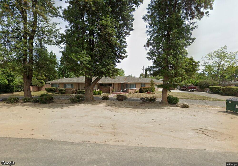
1241 S Phillip Ave Fresno, CA 93727
Sunnyside NeighborhoodEstimated Value: $476,000 - $595,000
3
Beds
3
Baths
2,254
Sq Ft
$240/Sq Ft
Est. Value
About This Home
This home is located at 1241 S Phillip Ave, Fresno, CA 93727 and is currently estimated at $540,563, approximately $239 per square foot. 1241 S Phillip Ave is a home located in Fresno County with nearby schools including Ayer Elementary School, Elizabeth Terronez Middle School, and Sunnyside High School.
Ownership History
Date
Name
Owned For
Owner Type
Purchase Details
Closed on
Aug 26, 1998
Sold by
Kossain Rose
Bought by
Wallers Leslie D and Wallers Patricia E
Current Estimated Value
Home Financials for this Owner
Home Financials are based on the most recent Mortgage that was taken out on this home.
Original Mortgage
$127,350
Outstanding Balance
$27,156
Interest Rate
6.88%
Mortgage Type
FHA
Estimated Equity
$513,407
Purchase Details
Closed on
Jul 20, 1998
Sold by
John Kojigian and John Virginia R
Bought by
Kossian Rose
Home Financials for this Owner
Home Financials are based on the most recent Mortgage that was taken out on this home.
Original Mortgage
$127,350
Outstanding Balance
$27,156
Interest Rate
6.88%
Mortgage Type
FHA
Estimated Equity
$513,407
Create a Home Valuation Report for This Property
The Home Valuation Report is an in-depth analysis detailing your home's value as well as a comparison with similar homes in the area
Home Values in the Area
Average Home Value in this Area
Purchase History
| Date | Buyer | Sale Price | Title Company |
|---|---|---|---|
| Wallers Leslie D | $117,000 | Fidelity National Title Co | |
| Kossian Rose | -- | -- |
Source: Public Records
Mortgage History
| Date | Status | Borrower | Loan Amount |
|---|---|---|---|
| Open | Wallers Leslie D | $127,350 |
Source: Public Records
Tax History Compared to Growth
Tax History
| Year | Tax Paid | Tax Assessment Tax Assessment Total Assessment is a certain percentage of the fair market value that is determined by local assessors to be the total taxable value of land and additions on the property. | Land | Improvement |
|---|---|---|---|---|
| 2025 | $2,240 | $183,398 | $62,695 | $120,703 |
| 2023 | $2,197 | $176,278 | $60,261 | $116,017 |
| 2022 | $2,168 | $172,823 | $59,080 | $113,743 |
| 2021 | $2,108 | $169,435 | $57,922 | $111,513 |
| 2020 | $2,099 | $167,699 | $57,329 | $110,370 |
| 2019 | $2,018 | $164,411 | $56,205 | $108,206 |
| 2018 | $1,974 | $161,188 | $55,103 | $106,085 |
| 2017 | $1,940 | $158,028 | $54,023 | $104,005 |
| 2016 | $1,876 | $154,930 | $52,964 | $101,966 |
| 2015 | $1,847 | $152,604 | $52,169 | $100,435 |
| 2014 | $1,813 | $149,616 | $51,148 | $98,468 |
Source: Public Records
Map
Nearby Homes
- 5821 E Rancho Dr
- 945 S Clovis Ave Unit H
- 945 S Clovis Ave Unit G
- 945 S Clovis Ave Unit V
- 1010 S Clovis Ave Unit 107
- 935 S Park Circle Dr
- 930 S Park Circle Dr
- 742 S Park Circle Dr
- 5478 E Butler Ave
- 5894 E Hamilton Ave
- 5912 E Hamilton Ave
- 5976 E Butler Ave
- 372 S Argyle Ave Unit 102
- 6080 E Platt Ave
- 350 S Argyle Ave Unit 103
- 350 S Argyle Ave Unit 101
- 5490 E 9 Ave
- 1234 Address Unavailable
- 1904 S Fairway Ave
- 5421 E Heaton Ave
- 1313 S Phillip Ave
- 1215 S Phillip Ave
- 5750 E Waverly Ln
- 5734 E Waverly Ln
- 5721 E Butler Ave
- 1310 S Phillip Ave
- 5715 E Butler Ave
- 5764 E Waverly Ln
- 1240 S Phillip Ave
- 5698 E Park Circle Dr
- 5735 E Butler Ave
- 5693 E Butler Ave
- 5687 E Park Circle Dr
- 5747 E Waverly Ln
- 1304 S Sunnyside Ave
- 5759 E Waverly Ln
- 5735 E Waverly Ln
- 5670 E Park Circle Dr
- 5730 E Park Circle Dr
- 5749 E Butler Ave