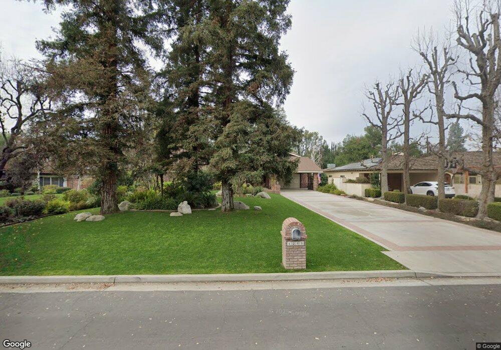
1241 Tam o Shanter Dr Bakersfield, CA 93309
Stockdale Estates NeighborhoodEstimated Value: $736,426 - $986,000
3
Beds
3
Baths
2,758
Sq Ft
$305/Sq Ft
Est. Value
About This Home
This home is located at 1241 Tam o Shanter Dr, Bakersfield, CA 93309 and is currently estimated at $842,475, approximately $305 per square foot. 1241 Tam o Shanter Dr is a home located in Kern County with nearby schools including Stockdale Elementary School, O.J. Actis Junior High School, and Bakersfield High School.
Ownership History
Date
Name
Owned For
Owner Type
Purchase Details
Closed on
May 30, 1996
Sold by
Bowman Floyd E and Bowman Kathy G
Bought by
Campbell Taylor Robert R and Campbell Taylor Carolyn
Current Estimated Value
Home Financials for this Owner
Home Financials are based on the most recent Mortgage that was taken out on this home.
Original Mortgage
$180,000
Interest Rate
8.39%
Create a Home Valuation Report for This Property
The Home Valuation Report is an in-depth analysis detailing your home's value as well as a comparison with similar homes in the area
Home Values in the Area
Average Home Value in this Area
Purchase History
| Date | Buyer | Sale Price | Title Company |
|---|---|---|---|
| Campbell Taylor Robert R | -- | First American Title Ins Co |
Source: Public Records
Mortgage History
| Date | Status | Borrower | Loan Amount |
|---|---|---|---|
| Previous Owner | Campbell Taylor Robert R | $180,000 |
Source: Public Records
Tax History Compared to Growth
Tax History
| Year | Tax Paid | Tax Assessment Tax Assessment Total Assessment is a certain percentage of the fair market value that is determined by local assessors to be the total taxable value of land and additions on the property. | Land | Improvement |
|---|---|---|---|---|
| 2025 | $8,448 | $651,455 | $162,856 | $488,599 |
| 2024 | $8,330 | $638,682 | $159,663 | $479,019 |
| 2023 | $8,330 | $626,160 | $156,533 | $469,627 |
| 2022 | $7,983 | $613,883 | $153,464 | $460,419 |
| 2021 | $7,826 | $601,847 | $150,455 | $451,392 |
| 2020 | $7,728 | $595,677 | $148,913 | $446,764 |
| 2019 | $7,634 | $595,677 | $148,913 | $446,764 |
| 2018 | $7,256 | $572,548 | $143,132 | $429,416 |
| 2017 | $7,149 | $561,323 | $140,326 | $420,997 |
| 2016 | $6,646 | $550,318 | $137,575 | $412,743 |
| 2015 | $6,606 | $542,053 | $135,509 | $406,544 |
| 2014 | $6,548 | $531,436 | $132,855 | $398,581 |
Source: Public Records
Map
Nearby Homes
- 7209 Outingdale Dr
- 1217 Tam o Shanter Dr
- 1509 Calle Castana
- 7235 Meadowbrook Ln
- 7108 Saint Andrews Dr
- 1033 Tam o Shanter Dr
- 7705 Calle Cerca
- 1701 Glenarm Ct
- 7001 Altaville Ln
- 1304 Manning St
- 1912 Glenbrea Ct
- 7701 Shetland Dr
- 6702 Edmund Way
- 1110 Fairway Dr
- 1191 Edmund St
- 2013 Calle Los Camichines
- 1405 Calle Hermosa
- 6813 Melones Ct
- 7313 Calle Los Manzanos
- 1000 Halterio Ct
- 1233 Tam o Shanter Dr
- 1255 Tam o Shanter Dr
- 7300 Calle Privada
- 1225 Tam o Shanter Dr
- 7304 Calle Privada
- 1242 Fairway Dr
- 7327 Outingdale Dr
- 7301 Outingdale Dr
- 7305 Outingdale Dr
- 1236 Fairway Dr
- 1222 Tam o Shanter Dr
- 7309 Outingdale Dr
- 7400 Calle Privada
- 7313 Outingdale Dr
- 7205 Outingdale Dr
- 7301 Calle Privada
- 7305 Calle Privada
- 1209 Tam o Shanter Dr
- 1216 Tam o Shanter Dr
- 7328 Outingdale Dr