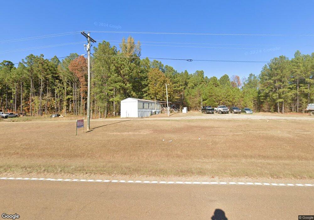
12415 Ms Highway 12 W Starkville, MS 39759
Estimated Value: $295,758 - $562,000
--
Bed
--
Bath
2,788
Sq Ft
$146/Sq Ft
Est. Value
About This Home
This home is located at 12415 Ms Highway 12 W, Starkville, MS 39759 and is currently estimated at $405,940, approximately $145 per square foot. 12415 Ms Highway 12 W is a home with nearby schools including Sudduth Elementary School, Overstreet Elementary School, and Henderson/Ward-Stewart Elementary School.
Ownership History
Date
Name
Owned For
Owner Type
Purchase Details
Closed on
Mar 12, 2022
Sold by
Bondi Noel
Bought by
Sims Lyndsey Olivia Matthew
Current Estimated Value
Home Financials for this Owner
Home Financials are based on the most recent Mortgage that was taken out on this home.
Original Mortgage
$375,200
Outstanding Balance
$351,531
Interest Rate
4.17%
Mortgage Type
New Conventional
Estimated Equity
$54,409
Purchase Details
Closed on
Oct 7, 2008
Bought by
Swiderski Cyprianna E
Create a Home Valuation Report for This Property
The Home Valuation Report is an in-depth analysis detailing your home's value as well as a comparison with similar homes in the area
Home Values in the Area
Average Home Value in this Area
Purchase History
| Date | Buyer | Sale Price | Title Company |
|---|---|---|---|
| Sims Lyndsey Olivia Matthew | $469,000 | Attorney Only | |
| Swiderski Cyprianna E | $102,000 | -- |
Source: Public Records
Mortgage History
| Date | Status | Borrower | Loan Amount |
|---|---|---|---|
| Open | Sims Lyndsey Olivia Matthew | $375,200 |
Source: Public Records
Tax History Compared to Growth
Tax History
| Year | Tax Paid | Tax Assessment Tax Assessment Total Assessment is a certain percentage of the fair market value that is determined by local assessors to be the total taxable value of land and additions on the property. | Land | Improvement |
|---|---|---|---|---|
| 2024 | $1,629 | $15,481 | $0 | $0 |
| 2023 | $1,631 | $15,492 | $0 | $0 |
| 2022 | $1,625 | $15,448 | $0 | $0 |
| 2021 | $1,479 | $14,274 | $0 | $0 |
| 2020 | $1,465 | $14,282 | $0 | $0 |
| 2019 | $1,483 | $14,430 | $0 | $0 |
| 2018 | $1,294 | $12,898 | $0 | $0 |
| 2017 | $1,186 | $12,269 | $0 | $0 |
| 2016 | $1,186 | $12,203 | $0 | $0 |
| 2015 | $1,151 | $12,191 | $0 | $0 |
| 2014 | $1,157 | $12,182 | $0 | $0 |
| 2013 | -- | $11,983 | $0 | $0 |
Source: Public Records
Map
Nearby Homes
- 11 W Union Rd
- 0 Old Hwy 12 Unit 25-1575
- 668 John White Rd
- 0 Longview Rd Unit 25-623
- 0 Longview Rd
- 123 Densbrook Ln
- 4885 Ennis Rd
- 363 Lakeview Dr
- 301 Maguire Rd
- 289 Maguire Rd
- 0 Maguire Rd
- 52 Alpine Dr
- 92 Ashwood Dr
- 72 Ashwood Dr
- 871 Sykes Rd
- 1501 Horseshoe Cir
- 158 Cow Creek Rd
- 0 Old Highway 12
- 1410 Pinecrest Rd
- 4561 Ennis Rd
- 12373 Ms Highway 12 W
- 237 Moore Dr
- 12589 Ms Highway 12 W
- 12289 Ms Highway 12 W
- 12667 Ms Highway 12 W
- 12420 Ms Highway 12 W
- 12211 Ms Highway 12 W
- 12588 Ms Highway 12 W
- 12588 Ms Highway 12 W
- 12584 Ms Highway 12 W
- 174 Moore Dr
- 12312 Ms Highway 12 W
- 12726 Ms Highway 12 W
- 12726 Mississippi 12
- 12165 Ms Highway 12 W
- 12202 Ms Highway 12 W
- 12810 Ms Highway 12 W
- 768 Old Highway 12
- 12814 Ms Highway 12 W
- 490 Carly Ln