12415 Sunnyside Way Unit 48 Groveland, CA 95321
Estimated Value: $388,000 - $413,000
4
Beds
4
Baths
2,053
Sq Ft
$194/Sq Ft
Est. Value
About This Home
This home is located at 12415 Sunnyside Way Unit 48, Groveland, CA 95321 and is currently estimated at $398,667, approximately $194 per square foot. 12415 Sunnyside Way Unit 48 is a home located in Tuolumne County.
Ownership History
Date
Name
Owned For
Owner Type
Purchase Details
Closed on
Aug 19, 2014
Sold by
Tripp Jerald and Tripp Melinda R
Bought by
Ferry Edward Clauston
Current Estimated Value
Home Financials for this Owner
Home Financials are based on the most recent Mortgage that was taken out on this home.
Original Mortgage
$150,000
Outstanding Balance
$114,417
Interest Rate
4.12%
Mortgage Type
Seller Take Back
Estimated Equity
$284,250
Create a Home Valuation Report for This Property
The Home Valuation Report is an in-depth analysis detailing your home's value as well as a comparison with similar homes in the area
Home Values in the Area
Average Home Value in this Area
Purchase History
| Date | Buyer | Sale Price | Title Company |
|---|---|---|---|
| Ferry Edward Clauston | $175,000 | Yosemite Title Company |
Source: Public Records
Mortgage History
| Date | Status | Borrower | Loan Amount |
|---|---|---|---|
| Open | Ferry Edward Clauston | $150,000 |
Source: Public Records
Tax History Compared to Growth
Tax History
| Year | Tax Paid | Tax Assessment Tax Assessment Total Assessment is a certain percentage of the fair market value that is determined by local assessors to be the total taxable value of land and additions on the property. | Land | Improvement |
|---|---|---|---|---|
| 2025 | $2,351 | $210,314 | $36,051 | $174,263 |
| 2024 | $2,351 | $206,192 | $35,345 | $170,847 |
| 2023 | $2,301 | $202,150 | $34,652 | $167,498 |
| 2022 | $2,258 | $198,187 | $33,973 | $164,214 |
| 2021 | $2,227 | $194,302 | $33,307 | $160,995 |
| 2020 | $2,192 | $192,311 | $32,966 | $159,345 |
| 2019 | $2,127 | $188,541 | $32,320 | $156,221 |
| 2018 | $2,080 | $184,845 | $31,687 | $153,158 |
| 2017 | $2,034 | $181,221 | $31,066 | $150,155 |
| 2016 | $1,985 | $177,668 | $30,457 | $147,211 |
| 2015 | $1,960 | $175,000 | $30,000 | $145,000 |
| 2014 | $2,383 | $214,950 | $61,919 | $153,031 |
Source: Public Records
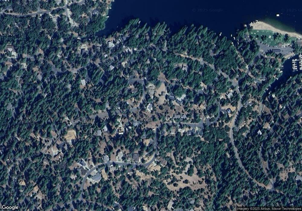
Map
Nearby Homes
- 19709 Pine Mountain Dr
- 19779 Pine Mountain Dr
- 19824 Pine Mountain Dr
- 12435 Cassaretto Ct
- 12295 Sunnyside Way
- 19673 Jonny Degnan Ct
- 20029 Upper Skyridge Dr Unit 15
- 19710 Butler Way
- 19513 Grizzly Cir
- 19574 Butler Way
- 12064 Hillhurst Cir
- 12080 Breckenridge Rd
- 12309 Shooting Star Ct
- 19501 Chaffee Cir
- 12017 Hillhurst Cir
- 19553 Elder Ln
- 12415 Sunnyside Way
- 12416 Sunnyside Way
- 12430 Mills St Unit 8
- 12430 Mills St Unit 47
- 12430 Mills St
- 12420 Mills St
- 12405 Sunnyside Way
- 12426 Sunnyside Way
- 12346 Mills St Unit 90
- 12346 Mills St
- 12404 Sunnyside Way
- 12414 Mills St Unit 8-44
- 12414 Mills St
- 12442 Mills St Unit 24
- 12442 Mills St
- 12350 Mills St
- Unit 8 Lot 43 Mills St
- 8-32 Mills St Unit 32
- Unit 8 Lot 43 Mills St Unit 8 Lot 43
- Unit 8 Lot 79 Mills St Unit 8 Lot 79