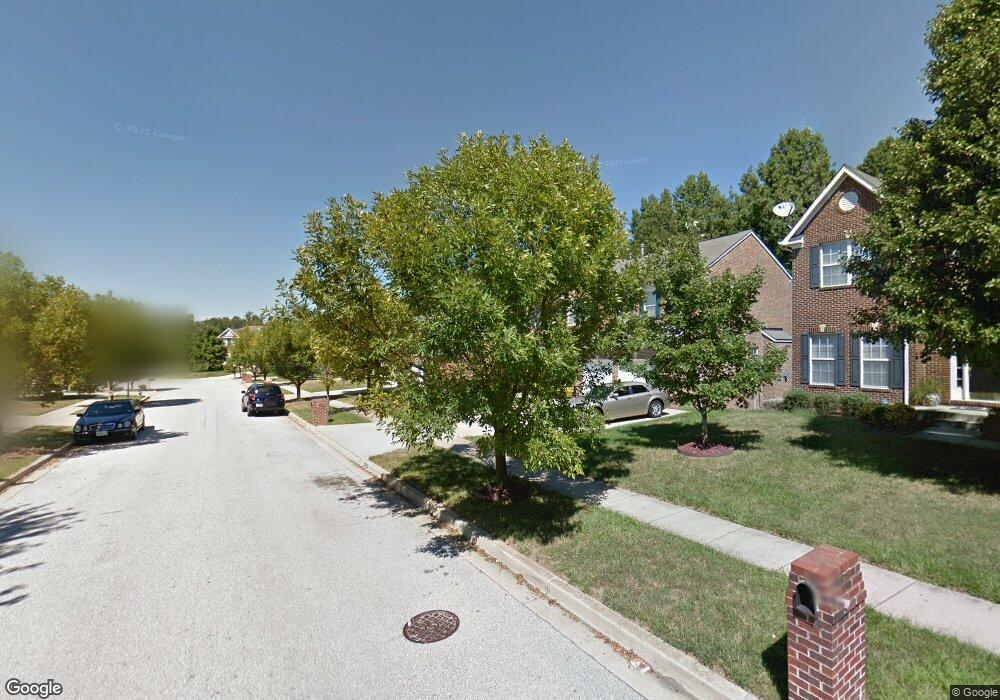
12417 Alamance Way Upper Marlboro, MD 20772
Estimated Value: $538,585 - $685,000
--
Bed
4
Baths
2,829
Sq Ft
$219/Sq Ft
Est. Value
About This Home
This home is located at 12417 Alamance Way, Upper Marlboro, MD 20772 and is currently estimated at $618,146, approximately $218 per square foot. 12417 Alamance Way is a home located in Prince George's County with nearby schools including Barack Obama Elementary School, James Madison Middle School, and Dr. Henry A. Wise Jr. High School.
Ownership History
Date
Name
Owned For
Owner Type
Purchase Details
Closed on
Nov 28, 2017
Sold by
Mcsween Tonya M
Bought by
Mcseween Ii Herman V and Mcseween Tonya M
Current Estimated Value
Home Financials for this Owner
Home Financials are based on the most recent Mortgage that was taken out on this home.
Original Mortgage
$437,000
Outstanding Balance
$367,053
Interest Rate
3.94%
Mortgage Type
VA
Estimated Equity
$251,093
Purchase Details
Closed on
Aug 29, 2001
Sold by
Washington Homes Inc
Bought by
Mcsween Tonya M
Create a Home Valuation Report for This Property
The Home Valuation Report is an in-depth analysis detailing your home's value as well as a comparison with similar homes in the area
Home Values in the Area
Average Home Value in this Area
Purchase History
| Date | Buyer | Sale Price | Title Company |
|---|---|---|---|
| Mcseween Ii Herman V | -- | None Available | |
| Mcsween Tonya M | $261,889 | -- |
Source: Public Records
Mortgage History
| Date | Status | Borrower | Loan Amount |
|---|---|---|---|
| Open | Mcseween Ii Herman V | $437,000 |
Source: Public Records
Tax History Compared to Growth
Tax History
| Year | Tax Paid | Tax Assessment Tax Assessment Total Assessment is a certain percentage of the fair market value that is determined by local assessors to be the total taxable value of land and additions on the property. | Land | Improvement |
|---|---|---|---|---|
| 2025 | $7,723 | $522,600 | $101,000 | $421,600 |
| 2024 | $7,723 | $492,867 | $0 | $0 |
| 2023 | $5,150 | $463,133 | $0 | $0 |
| 2022 | $6,838 | $433,400 | $101,000 | $332,400 |
| 2021 | $6,722 | $425,600 | $0 | $0 |
| 2020 | $6,606 | $417,800 | $0 | $0 |
| 2019 | $7,076 | $410,000 | $100,500 | $309,500 |
| 2018 | $6,849 | $394,733 | $0 | $0 |
| 2017 | $6,339 | $379,467 | $0 | $0 |
| 2016 | -- | $364,200 | $0 | $0 |
| 2015 | $5,715 | $354,200 | $0 | $0 |
| 2014 | $5,715 | $344,200 | $0 | $0 |
Source: Public Records
Map
Nearby Homes
- 13139 Ripon Place
- 4655 Penzance Place
- 11508 Pegasus Ct
- 5222 Derby Manor Ln
- 4411 Beckenham Place
- 5303 Chestnut Manor Ct
- 4204 Rolling Paddock Dr
- 11504 Carriage Crossing Dr
- 13560 Lord Sterling Place
- 13550 Lord Sterling Place
- 13606 Lord Sterling Place
- 4235 Chariot Way
- 13602 Lord Sterling Place
- 13538 Lord Baltimore Place
- 13542 Lord Baltimore Place
- 3913 Rolling Paddock Dr
- 5209 Mount Airy Ln
- 4503 Captain Duval Dr
- 4302 Bridle Ridge Rd
- 5200 Mapleshade Ln W
- 12415 Alamance Way
- 12419 Alamance Way
- 12413 Alamance Way
- 12421 Alamance Way
- 12416 Alamance Way
- 12418 Alamance Way
- 12414 Alamance Way
- 12423 Alamance Way
- 12411 Alamance Way
- 12412 Alamance Way
- 12420 Alamance Way
- 12409 Alamance Way
- 12424 Alamance Way
- 12410 Alamance Way
- 12422 Alamance Way
- 12401 Brooke Ln
- 12406 Alamance Way
- 12407 Alamance Way
- 4402 Rockdale Ln
- 4404 Rockdale Ln