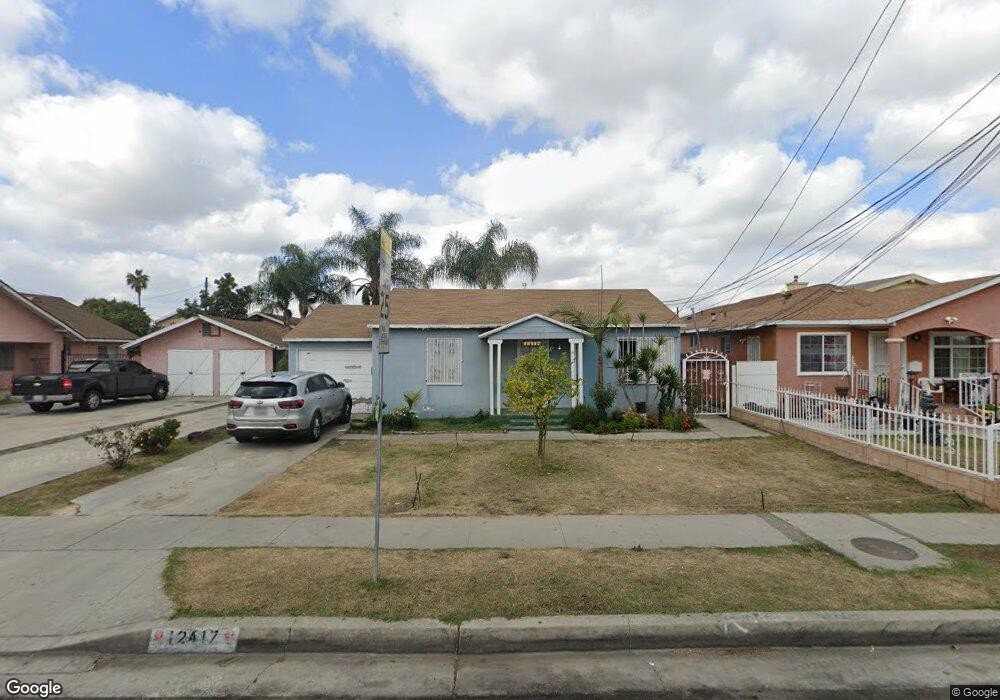
12417 Cookacre Ave Lynwood, CA 90262
Estimated Value: $538,000 - $719,000
2
Beds
1
Bath
782
Sq Ft
$784/Sq Ft
Est. Value
About This Home
This home is located at 12417 Cookacre Ave, Lynwood, CA 90262 and is currently estimated at $613,118, approximately $784 per square foot. 12417 Cookacre Ave is a home located in Los Angeles County with nearby schools including William Jefferson Clinton School, Whaley Middle School, and Dominguez High School.
Ownership History
Date
Name
Owned For
Owner Type
Purchase Details
Closed on
Nov 9, 2024
Sold by
Velasquez Efrain and Velasquez Eugenia
Bought by
Velasquez Living Trust and Velasquez
Current Estimated Value
Purchase Details
Closed on
Nov 17, 2004
Sold by
Velasquez Efrain
Bought by
Velasquez Efrain
Purchase Details
Closed on
Apr 14, 2004
Sold by
Velasquez Eugenia
Bought by
Velasquez Efrain
Home Financials for this Owner
Home Financials are based on the most recent Mortgage that was taken out on this home.
Original Mortgage
$110,000
Interest Rate
6.12%
Mortgage Type
Purchase Money Mortgage
Create a Home Valuation Report for This Property
The Home Valuation Report is an in-depth analysis detailing your home's value as well as a comparison with similar homes in the area
Home Values in the Area
Average Home Value in this Area
Purchase History
| Date | Buyer | Sale Price | Title Company |
|---|---|---|---|
| Velasquez Living Trust | -- | None Listed On Document | |
| Velasquez Living Trust | -- | None Listed On Document | |
| Velasquez Efrain | -- | -- | |
| Velasquez Efrain | -- | Lawyers Title Company |
Source: Public Records
Mortgage History
| Date | Status | Borrower | Loan Amount |
|---|---|---|---|
| Previous Owner | Velasquez Efrain | $110,000 |
Source: Public Records
Tax History Compared to Growth
Tax History
| Year | Tax Paid | Tax Assessment Tax Assessment Total Assessment is a certain percentage of the fair market value that is determined by local assessors to be the total taxable value of land and additions on the property. | Land | Improvement |
|---|---|---|---|---|
| 2025 | $2,633 | $157,589 | $113,701 | $43,888 |
| 2024 | $2,633 | $154,500 | $111,472 | $43,028 |
| 2023 | $2,614 | $151,472 | $109,287 | $42,185 |
| 2022 | $2,528 | $148,503 | $107,145 | $41,358 |
| 2021 | $2,445 | $145,593 | $105,045 | $40,548 |
| 2019 | $2,491 | $141,277 | $101,930 | $39,347 |
| 2018 | $2,288 | $138,508 | $99,932 | $38,576 |
| 2016 | $2,142 | $133,131 | $96,052 | $37,079 |
| 2015 | $2,102 | $131,133 | $94,610 | $36,523 |
| 2014 | $2,064 | $128,565 | $92,757 | $35,808 |
Source: Public Records
Map
Nearby Homes
- 1913 N Castlegate Ave
- 4272 Niland St
- 4276 Lavinia Ave
- 4221 Alvada St
- 4539 Arlington Ave
- 12029 2nd Ave
- 12716 Cookacre Ave
- 12318 Halo Dr
- 12623 Harris Ave
- 4345 E Queensdale St
- 12120 Muriel Dr
- 1809 E Orchard St
- 1913 E Mcmillan St
- 1352 N Dolanna Dr
- 6656 E Rosecrans Ave Unit N12
- 4026 Josephine St
- 12323 Edgebrook Ave
- 1612 E Stockton Ave
- 4949 E San Carlos St
- 4236 Cortland St
- 12413 Cookacre Ave
- 12421 Cookacre Ave
- 4308 Carlin Ave
- 12407 Cookacre Ave
- 12431 Cookacre Ave
- 12414 Stoneacre Ave
- 12420 Stoneacre Ave
- 12426 Stoneacre Ave
- 4304 Carlin Ave
- 12430 Stoneacre Ave
- 12436 Stoneacre Ave
- 12442 Stoneacre Ave
- 2011 N Stoneacre Ave
- 2013 N Stoneacre Ave
- 2005 N Stoneacre Ave
- 4317 Carlin Ave
- 2019 N Stoneacre Ave
- 12433 Atlantic Ave
- 4331 Carlin Ave
- 2003 N Stoneacre Ave