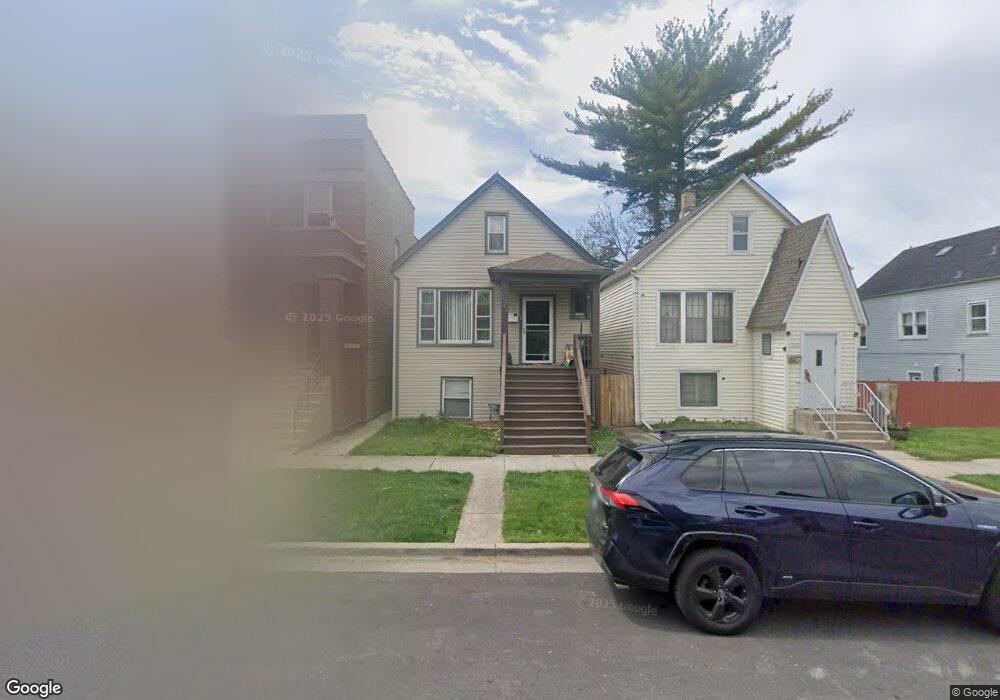
1242 Grove Ave Berwyn, IL 60402
Estimated Value: $249,000 - $324,000
3
Beds
2
Baths
987
Sq Ft
$287/Sq Ft
Est. Value
About This Home
This home is located at 1242 Grove Ave, Berwyn, IL 60402 and is currently estimated at $282,833, approximately $286 per square foot. 1242 Grove Ave is a home located in Cook County with nearby schools including Jefferson Elementary School, Lincoln Middle School, and J. Sterling Morton High School West.
Ownership History
Date
Name
Owned For
Owner Type
Purchase Details
Closed on
Apr 4, 2018
Sold by
Smith Kyongae and Smith Charles D
Bought by
Smith Charles D and Smith Kyongae
Current Estimated Value
Purchase Details
Closed on
Nov 23, 2006
Sold by
Dehart Tyler John
Bought by
Dehart Kyongae Yo
Purchase Details
Closed on
Jun 22, 1995
Sold by
Dehart Fred
Bought by
Dehart Tyler John and Dehart Kyong
Purchase Details
Closed on
Aug 1, 1994
Sold by
Dehart Tyler John and Dehart Kyong
Bought by
Dehart Fred
Create a Home Valuation Report for This Property
The Home Valuation Report is an in-depth analysis detailing your home's value as well as a comparison with similar homes in the area
Home Values in the Area
Average Home Value in this Area
Purchase History
| Date | Buyer | Sale Price | Title Company |
|---|---|---|---|
| Smith Charles D | -- | Attorney | |
| Dehart Kyongae Yo | -- | None Available | |
| Dehart Tyler John | -- | -- | |
| Dehart Fred | -- | -- |
Source: Public Records
Tax History Compared to Growth
Tax History
| Year | Tax Paid | Tax Assessment Tax Assessment Total Assessment is a certain percentage of the fair market value that is determined by local assessors to be the total taxable value of land and additions on the property. | Land | Improvement |
|---|---|---|---|---|
| 2024 | $5,041 | $21,009 | $3,825 | $17,184 |
| 2023 | $2,129 | $22,000 | $3,825 | $18,175 |
| 2022 | $2,129 | $11,469 | $3,315 | $8,154 |
| 2021 | $2,089 | $11,468 | $3,315 | $8,153 |
| 2020 | $2,187 | $11,468 | $3,315 | $8,153 |
| 2019 | $2,075 | $11,205 | $2,975 | $8,230 |
| 2018 | $1,990 | $11,205 | $2,975 | $8,230 |
| 2017 | $3,121 | $11,503 | $2,975 | $8,528 |
| 2016 | $3,214 | $10,095 | $2,465 | $7,630 |
| 2015 | $3,101 | $10,095 | $2,465 | $7,630 |
| 2014 | $3,037 | $10,095 | $2,465 | $7,630 |
| 2013 | $3,003 | $11,003 | $2,465 | $8,538 |
Source: Public Records
Map
Nearby Homes
- 1336 Grove Ave
- 1341 Kenilworth Ave
- 1333 Clinton Ave
- 1324 Clinton Ave
- 1342 Clinton Ave
- 7011 Roosevelt Rd
- 1336 Wesley Ave
- 1335 Wesley Ave
- 1442 Oak Park Ave
- 1216 Wenonah Ave
- 1135 S Oak Park Ave
- 1156 Wesley Ave
- 1432 Home Ave
- 1329 Wisconsin Ave
- 1413 Wisconsin Ave
- 1536 Kenilworth Ave
- 1183 S Scoville Ave
- 1531 Wenonah Ave
- 1227 S Harlem Ave Unit 307
- 1227 S Harlem Ave Unit 512
- 1240 Grove Ave
- 1244 Grove Ave
- 1246 Grove Ave Unit 1
- 1246 Grove Ave
- 1236 Grove Ave
- 1234 Grove Ave Unit 2
- 1234 Grove Ave Unit 1
- 1234 Grove Ave Unit G
- 1234 Grove Ave
- 1232 Grove Ave
- 1243 Kenilworth Ave
- 1245 Kenilworth Ave
- 1239 Kenilworth Ave
- 1237 Kenilworth Ave
- 1230 Grove Ave
- 1247 Kenilworth Ave
- 1235 Kenilworth Ave
- 6834 13th St
- 6832 13th St
- 6836 13th St