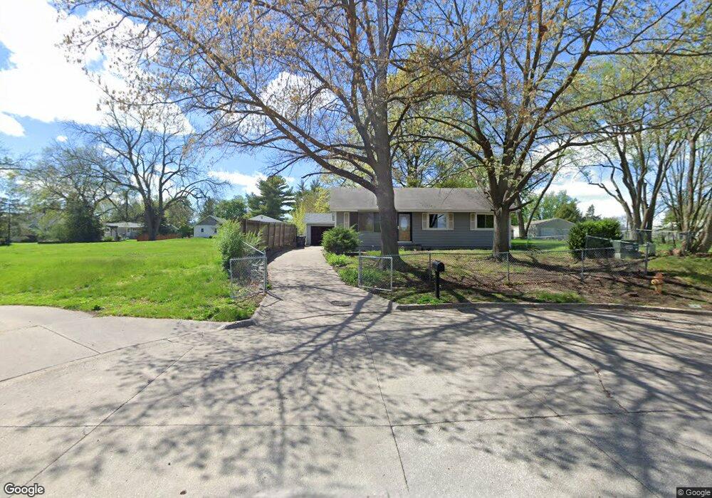
1242 Highview Dr Des Moines, IA 50315
Watrous South NeighborhoodEstimated Value: $229,000 - $260,000
3
Beds
1
Bath
960
Sq Ft
$251/Sq Ft
Est. Value
About This Home
This home is located at 1242 Highview Dr, Des Moines, IA 50315 and is currently estimated at $240,773, approximately $250 per square foot. 1242 Highview Dr is a home located in Polk County with nearby schools including Wright Elementary School, Brody Middle School, and Lincoln High School.
Ownership History
Date
Name
Owned For
Owner Type
Purchase Details
Closed on
Jun 2, 2010
Sold by
Olson Dan Archie and Olson Irene Fay
Bought by
Woolery Lakiesha
Current Estimated Value
Home Financials for this Owner
Home Financials are based on the most recent Mortgage that was taken out on this home.
Original Mortgage
$121,365
Outstanding Balance
$81,625
Interest Rate
5.12%
Mortgage Type
FHA
Estimated Equity
$159,148
Create a Home Valuation Report for This Property
The Home Valuation Report is an in-depth analysis detailing your home's value as well as a comparison with similar homes in the area
Home Values in the Area
Average Home Value in this Area
Purchase History
| Date | Buyer | Sale Price | Title Company |
|---|---|---|---|
| Woolery Lakiesha | $122,500 | None Available |
Source: Public Records
Mortgage History
| Date | Status | Borrower | Loan Amount |
|---|---|---|---|
| Open | Woolery Lakiesha | $121,365 |
Source: Public Records
Tax History
| Year | Tax Paid | Tax Assessment Tax Assessment Total Assessment is a certain percentage of the fair market value that is determined by local assessors to be the total taxable value of land and additions on the property. | Land | Improvement |
|---|---|---|---|---|
| 2025 | $3,902 | $234,500 | $37,300 | $197,200 |
| 2024 | $3,902 | $208,800 | $32,700 | $176,100 |
| 2023 | $3,818 | $208,800 | $32,700 | $176,100 |
| 2022 | $3,788 | $170,900 | $28,000 | $142,900 |
| 2021 | $3,640 | $170,900 | $28,000 | $142,900 |
| 2020 | $3,778 | $154,500 | $25,200 | $129,300 |
| 2019 | $3,518 | $154,500 | $25,200 | $129,300 |
| 2018 | $3,476 | $139,400 | $22,300 | $117,100 |
| 2017 | $3,250 | $139,400 | $22,300 | $117,100 |
| 2016 | $3,162 | $128,700 | $20,300 | $108,400 |
| 2015 | $3,162 | $128,700 | $20,300 | $108,400 |
| 2014 | $2,990 | $125,700 | $19,400 | $106,300 |
Source: Public Records
Map
Nearby Homes
- 1304 Wall Ave
- 6001 SW 13th Place
- 5915 SW 12th St
- 1310 Leland Ave
- 1512 Highview Dr
- 6006 SW 15th St
- 1515 Highview Dr
- 1014 Leland Ave
- 919 Randolph St
- 1616 Southlawn Dr
- 1324 Army Post Rd
- 1225 West St
- 700 Payton Ave
- 1243 Hackley Ave
- 6504 SW 17th St
- 2008 Southlawn Dr
- 5413 SW 19th St
- 1208 Burnham Ave
- 1715 Frazier Ave
- 603 Lally St
- 1238 Highview Dr
- 1237 Highview Dr
- 1239 Highview Dr
- 1236 Highview Dr
- 5901 SW 13th Place
- 5903 SW 13th Place
- 5903 SW 13th Place
- 1302 Wall Ave
- 1300 Wall Ave
- 1231 Highview Dr
- 1230 Highview Dr
- 1248 Wall Ave
- 1227 Payton Ave
- 1233 Payton Ave
- 5909 SW 13th Place
- 1223 Payton Ave
- 1306 Wall Ave
- 1238 Wall Ave
- 1225 Highview Dr
- 1224 Highview Dr
Your Personal Tour Guide
Ask me questions while you tour the home.