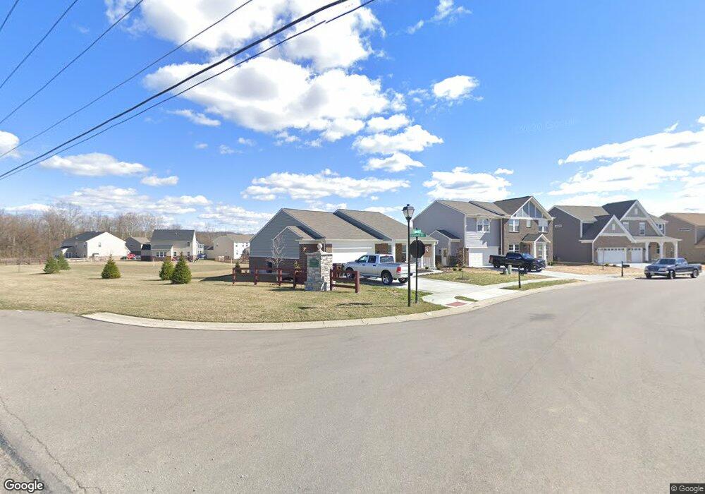
1242 Michael Dr Harrison, OH 45030
Estimated Value: $323,666 - $410,000
Studio
--
Bath
1,624
Sq Ft
$230/Sq Ft
Est. Value
About This Home
This home is located at 1242 Michael Dr, Harrison, OH 45030 and is currently estimated at $373,667, approximately $230 per square foot. 1242 Michael Dr is a home with nearby schools including William Henry Harrison High School and Summit Academy of Southwest Ohio.
Ownership History
Date
Name
Owned For
Owner Type
Purchase Details
Closed on
Jul 30, 2018
Sold by
Fischer Single Family Homes Iv Llc
Bought by
Vwite Donale and Veite Mary Anne
Current Estimated Value
Home Financials for this Owner
Home Financials are based on the most recent Mortgage that was taken out on this home.
Original Mortgage
$188,240
Interest Rate
4.5%
Mortgage Type
New Conventional
Purchase Details
Closed on
Apr 16, 2018
Sold by
Parks Of Whitewater Llc
Bought by
Fischer Single Family Homes Iv Llc and Fischer Single Family Homes Iv Ltd
Create a Home Valuation Report for This Property
The Home Valuation Report is an in-depth analysis detailing your home's value as well as a comparison with similar homes in the area
Home Values in the Area
Average Home Value in this Area
Purchase History
| Date | Buyer | Sale Price | Title Company |
|---|---|---|---|
| Vwite Donale | $235,300 | Homestead Title Agency Lp | |
| Fischer Single Family Homes Iv Llc | $62,090 | None Available |
Source: Public Records
Mortgage History
| Date | Status | Borrower | Loan Amount |
|---|---|---|---|
| Previous Owner | Vwite Donale | $188,240 |
Source: Public Records
Tax History
| Year | Tax Paid | Tax Assessment Tax Assessment Total Assessment is a certain percentage of the fair market value that is determined by local assessors to be the total taxable value of land and additions on the property. | Land | Improvement |
|---|---|---|---|---|
| 2025 | $4,647 | $94,724 | $19,600 | $75,124 |
| 2024 | $4,752 | $94,724 | $19,600 | $75,124 |
| 2023 | $4,703 | $94,724 | $19,600 | $75,124 |
| 2022 | $4,752 | $83,787 | $19,600 | $64,187 |
| 2021 | $4,792 | $83,787 | $19,600 | $64,187 |
| 2020 | $4,739 | $83,787 | $19,600 | $64,187 |
| 2019 | $4,903 | $19,600 | $19,600 | $0 |
| 2018 | $1,175 | $19,600 | $19,600 | $0 |
| 2017 | $1,128 | $19,600 | $19,600 | $0 |
| 2016 | $0 | $0 | $0 | $0 |
Source: Public Records
Map
Nearby Homes
- 9505 Morris Dr
- 9452 Tebbs Ct
- 1383 Springfield Dr
- 6075 Foothills Dr
- 6071 Foothills Dr
- 8039 Rock Island Dr
- 10390 Short Rd
- 8074 Rock Island Dr
- 8071 Rock Island Dr
- 1270 Trailhead Place
- 1701 Whitewater Trails Blvd
- 1283 Cavanaugh Ln
- 12027 Solitude Ct
- 1290 Trailhead Place
- 1304 Trailhead Place
- 1316 Trailhead Place
- 4002 Highland Ct
- 1319 Trailhead Place
- 6056 Foothills Dr
- 2430 Bartram Ln
- 1240 Michael Dr
- 1236 Michael Dr
- 338 Conner Ct
- 1232 Michael Dr
- 317 Conner Ct
- 1625 Sefton Dr
- 1229 Michael Dr
- 1228 Michael Dr
- 9637 Conner Ct
- 9633 Conner Ct
- 1225 Michael Dr
- 1621 Sefton Dr
- 1224 Michael Dr
- 1614 Sefton Dr
- 9668 Conner Ct
- 1223 Michael Dr
- 1617 Sefton Dr
- 9629 Conner Ct
- 9629 Ponder Ct
- 1220 Michael Dr
Your Personal Tour Guide
Ask me questions while you tour the home.