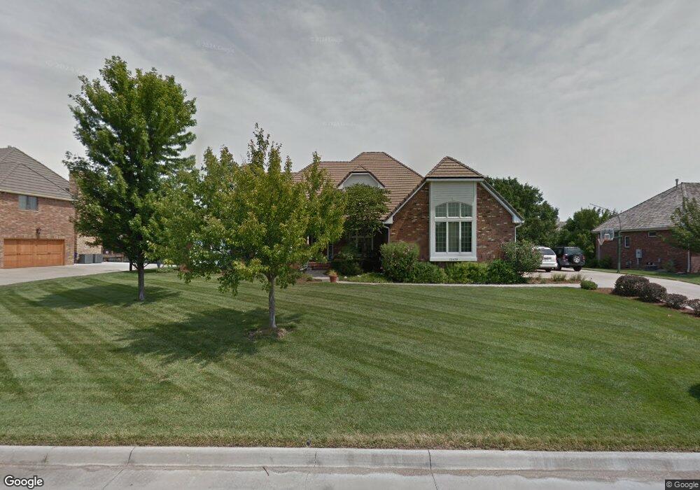
12420 E Meadow Dr Wichita, KS 67206
Northeast Wichita NeighborhoodEstimated Value: $669,000 - $721,376
3
Beds
3
Baths
3,398
Sq Ft
$205/Sq Ft
Est. Value
About This Home
This home is located at 12420 E Meadow Dr, Wichita, KS 67206 and is currently estimated at $695,188, approximately $204 per square foot. 12420 E Meadow Dr is a home located in Sedgwick County with nearby schools including Wheatland Elementary School, Andover Middle School, and Andover High School.
Ownership History
Date
Name
Owned For
Owner Type
Purchase Details
Closed on
Dec 17, 2014
Sold by
Campbell Richard B and Campbell Debra V
Bought by
Richard & Debra Campbell Joint Revocable and Campbell Debra
Current Estimated Value
Purchase Details
Closed on
Dec 17, 1999
Sold by
Nordmeyer Robert C and Nordmeyer Virginia S
Bought by
Campbell Richard B and Campbell Debra
Home Financials for this Owner
Home Financials are based on the most recent Mortgage that was taken out on this home.
Original Mortgage
$364,000
Outstanding Balance
$112,660
Interest Rate
7.71%
Estimated Equity
$582,528
Create a Home Valuation Report for This Property
The Home Valuation Report is an in-depth analysis detailing your home's value as well as a comparison with similar homes in the area
Home Values in the Area
Average Home Value in this Area
Purchase History
| Date | Buyer | Sale Price | Title Company |
|---|---|---|---|
| Richard & Debra Campbell Joint Revocable | -- | None Available | |
| Campbell Richard B | -- | -- |
Source: Public Records
Mortgage History
| Date | Status | Borrower | Loan Amount |
|---|---|---|---|
| Open | Campbell Richard B | $364,000 |
Source: Public Records
Tax History Compared to Growth
Tax History
| Year | Tax Paid | Tax Assessment Tax Assessment Total Assessment is a certain percentage of the fair market value that is determined by local assessors to be the total taxable value of land and additions on the property. | Land | Improvement |
|---|---|---|---|---|
| 2025 | $9,589 | $79,764 | $12,558 | $67,206 |
| 2023 | $9,589 | $69,058 | $9,476 | $59,582 |
| 2022 | $8,961 | $69,058 | $8,936 | $60,122 |
| 2021 | $8,465 | $64,539 | $5,141 | $59,398 |
| 2020 | $7,435 | $56,834 | $5,141 | $51,693 |
| 2019 | $7,426 | $56,834 | $5,141 | $51,693 |
| 2018 | $7,199 | $55,178 | $5,233 | $49,945 |
| 2017 | $7,196 | $0 | $0 | $0 |
| 2016 | $7,069 | $0 | $0 | $0 |
| 2015 | -- | $0 | $0 | $0 |
| 2014 | -- | $0 | $0 | $0 |
Source: Public Records
Map
Nearby Homes
- 1162 N Woodridge Dr
- 12610 E Meadow Ct
- 1315 N White Tail Ct
- 12740 E Bradford Cir
- 1236 N Bracken St
- 12510 E Killarney St
- 838 N Glenmoor Dr
- 1102 N Bedford Ct
- 10 E Via Roma St
- 58 E Via Roma St
- 7 E Via Roma St
- 5 E Via Roma St
- 26 E Via Roma St
- 707 N Crest Ridge Ct
- 12010 E Tipperary St
- 665 N Crest Ridge Ct
- 12406 E Troon St
- 11432 E Pine Meadow Ct
- 12620 E Tallowood Dr
- 1026 N Bristol St
- 12430 E Meadow Dr
- 0 Meadow Dr
- 12410 E Meadow Dr
- 1345 N White Tail Ct
- 1341 N White Tail Ct
- 1349 N White Tail Ct
- 1339 N White Tail Ct
- 1159 N Woodridge Dr
- 12500 E Meadow Dr
- 12500 E Meadow St
- 12400 E Meadow Dr
- 1351 N White Tail Ct
- 1301 N White Tail Ct
- 1151 N Woodridge Dr
- 1333 N White Tail Ct
- 1355 N White Tail Ct
- 1169 N Glenmoor Dr
- 1309 N White Tail Ct
- 1150 N Woodridge Dr
- 12510 E Meadow Dr