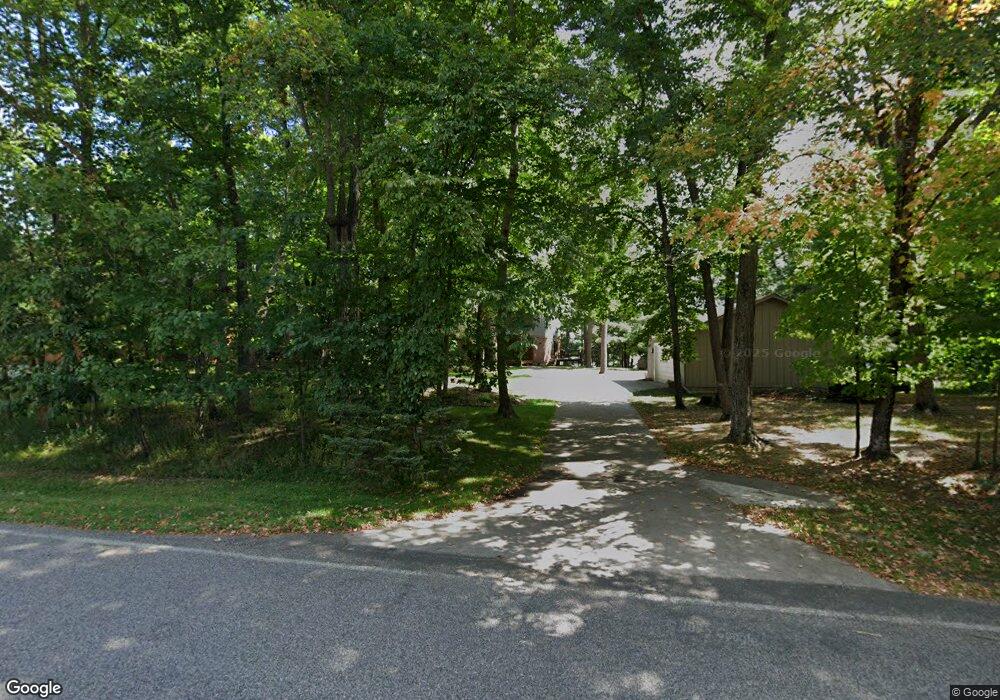
12421 Anchor Point Rd Crosslake, MN 56442
Estimated Value: $1,074,062 - $1,229,000
4
Beds
2
Baths
2,518
Sq Ft
$472/Sq Ft
Est. Value
About This Home
This home is located at 12421 Anchor Point Rd, Crosslake, MN 56442 and is currently estimated at $1,189,516, approximately $472 per square foot. 12421 Anchor Point Rd is a home located in Crow Wing County with nearby schools including Eagle View Elementary School, Pequot Lakes Middle School, and Pequot Lakes Senior High School.
Ownership History
Date
Name
Owned For
Owner Type
Purchase Details
Closed on
Mar 27, 2017
Sold by
Wismer Linda Linda
Bought by
Luttmers Larry and Luttmers Janet
Current Estimated Value
Home Financials for this Owner
Home Financials are based on the most recent Mortgage that was taken out on this home.
Original Mortgage
$420,800
Outstanding Balance
$349,785
Interest Rate
4.17%
Estimated Equity
$839,731
Create a Home Valuation Report for This Property
The Home Valuation Report is an in-depth analysis detailing your home's value as well as a comparison with similar homes in the area
Home Values in the Area
Average Home Value in this Area
Purchase History
| Date | Buyer | Sale Price | Title Company |
|---|---|---|---|
| Luttmers Larry | $526,000 | -- |
Source: Public Records
Mortgage History
| Date | Status | Borrower | Loan Amount |
|---|---|---|---|
| Open | Luttmers Larry | $420,800 |
Source: Public Records
Tax History Compared to Growth
Tax History
| Year | Tax Paid | Tax Assessment Tax Assessment Total Assessment is a certain percentage of the fair market value that is determined by local assessors to be the total taxable value of land and additions on the property. | Land | Improvement |
|---|---|---|---|---|
| 2025 | $5,784 | $1,034,900 | $713,300 | $321,600 |
| 2024 | $5,784 | $938,300 | $651,100 | $287,200 |
| 2023 | $5,484 | $920,000 | $593,200 | $326,800 |
| 2022 | $5,466 | $828,200 | $509,600 | $318,600 |
| 2021 | $4,908 | $650,700 | $445,700 | $205,000 |
| 2020 | $5,042 | $551,500 | $394,800 | $156,700 |
| 2019 | $4,898 | $531,100 | $384,300 | $146,800 |
| 2018 | $4,364 | $515,200 | $375,700 | $139,500 |
| 2017 | $4,450 | $505,700 | $367,000 | $138,700 |
| 2016 | $4,488 | $516,200 | $381,400 | $134,800 |
| 2015 | $3,100 | $389,200 | $263,600 | $125,600 |
| 2014 | $1,497 | $386,100 | $257,700 | $128,400 |
Source: Public Records
Map
Nearby Homes
- 37639 Forest Lodge Rd
- 12048 Harbor Ln
- 13380 Rush Harbor Dr
- 12125 Whitefish Ave
- 36587 Harbor Trail
- 38738 Windsor Ave
- 11690 Harbor Ln
- 11460 Lynn Boyd Way Unit Fraction 3
- 36249 Johnie St
- 38720 South Landing
- 36943 Sundance Loop Unit 823
- 13930 Log Landing
- 36721 County Road 66
- 10596 Wabigoniss Shores
- 37344 Deer Ridge Dr
- 11959 Northgate Ln
- 35546 Pine Terrace Rd
- 36168 Talon Trail
- LOT 7 Retriever Rd
- 35533 Sand Pointe Dr Unit 6
- 12405 Anchor Point Rd
- 12437 Anchor Point Rd
- 12418 Anchor Point Rd
- 12402 Anchor Point Rd
- 12383 Anchor Point Rd
- 12457 Anchor Point Rd
- 12388 Anchor Point Rd
- 12462 Anchor Point Rd
- 12473 Anchor Point Rd
- 12480 Anchor Point Rd
- XXX Anchor Point Rd
- 12489 Anchor Point Rd
- 12302 N Harbor Rd
- 12506 Anchor Point Rd
- 12321 Anchor Point Rd
- 12230 Ginseng Patch Rd
- 12501 Anchor Point Rd
- 12520 Anchor Point Rd
- 12311 Anchor Point Rd
- 12525 Anchor Point Rd