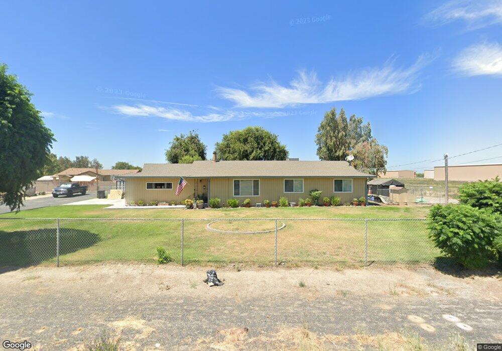
12423 S Manthey Rd Lathrop, CA 95330
Estimated Value: $428,000 - $1,492,000
3
Beds
2
Baths
1,400
Sq Ft
$516/Sq Ft
Est. Value
About This Home
This home is located at 12423 S Manthey Rd, Lathrop, CA 95330 and is currently estimated at $722,664, approximately $516 per square foot. 12423 S Manthey Rd is a home located in San Joaquin County with nearby schools including Joseph Widmer, Jr. Elementary School, Lathrop High School, and Central Valley Christian Academy.
Ownership History
Date
Name
Owned For
Owner Type
Purchase Details
Closed on
Dec 14, 2004
Sold by
Gigli Donald
Bought by
Giglico Inc
Current Estimated Value
Purchase Details
Closed on
Aug 9, 1996
Sold by
Cortez Heriberto Muro and Cortez Adelaida Muro
Bought by
Gigli Donald and Gigli Dianne
Home Financials for this Owner
Home Financials are based on the most recent Mortgage that was taken out on this home.
Original Mortgage
$79,000
Interest Rate
8.23%
Create a Home Valuation Report for This Property
The Home Valuation Report is an in-depth analysis detailing your home's value as well as a comparison with similar homes in the area
Home Values in the Area
Average Home Value in this Area
Purchase History
| Date | Buyer | Sale Price | Title Company |
|---|---|---|---|
| Giglico Inc | -- | -- | |
| Gigli Donald | $99,000 | Old Republic Title Company |
Source: Public Records
Mortgage History
| Date | Status | Borrower | Loan Amount |
|---|---|---|---|
| Previous Owner | Gigli Donald | $79,000 |
Source: Public Records
Tax History Compared to Growth
Tax History
| Year | Tax Paid | Tax Assessment Tax Assessment Total Assessment is a certain percentage of the fair market value that is determined by local assessors to be the total taxable value of land and additions on the property. | Land | Improvement |
|---|---|---|---|---|
| 2025 | $2,088 | $160,865 | $73,283 | $87,582 |
| 2024 | $2,035 | $157,712 | $71,847 | $85,865 |
| 2023 | $1,921 | $154,621 | $70,439 | $84,182 |
| 2022 | $1,895 | $151,590 | $69,058 | $82,532 |
| 2021 | $1,877 | $148,618 | $67,704 | $80,914 |
| 2020 | $1,809 | $147,095 | $67,010 | $80,085 |
| 2019 | $1,788 | $144,212 | $65,697 | $78,515 |
| 2018 | $1,767 | $141,385 | $64,409 | $76,976 |
| 2017 | $1,744 | $138,614 | $63,147 | $75,467 |
| 2016 | $1,706 | $135,897 | $61,909 | $73,988 |
| 2014 | $1,596 | $131,234 | $59,785 | $71,449 |
Source: Public Records
Map
Nearby Homes
- 601 Olivine Ave
- 127 Argillite Ave
- 13377 Talc St
- 911 Englewood Way
- 13400 Forestwood Way
- 14129 Reverend Maurice Cotton Dr
- 528 Briggs Ave
- 813 Sugar Pine Dr
- 14224 S Harlan Rd
- 14539 Cedar Valley Dr
- 732 Briggs Ave
- 580 W Bowman Rd
- 15150 Hollyhock Ct
- 337 Gardner Place
- 726 Milestone Dr
- 10433 Jethro Ln
- 10016 S Priest Rd
- 15364 Barbara Terry Blvd
- 2105 N Airport Way
- 498 Central Pacific St