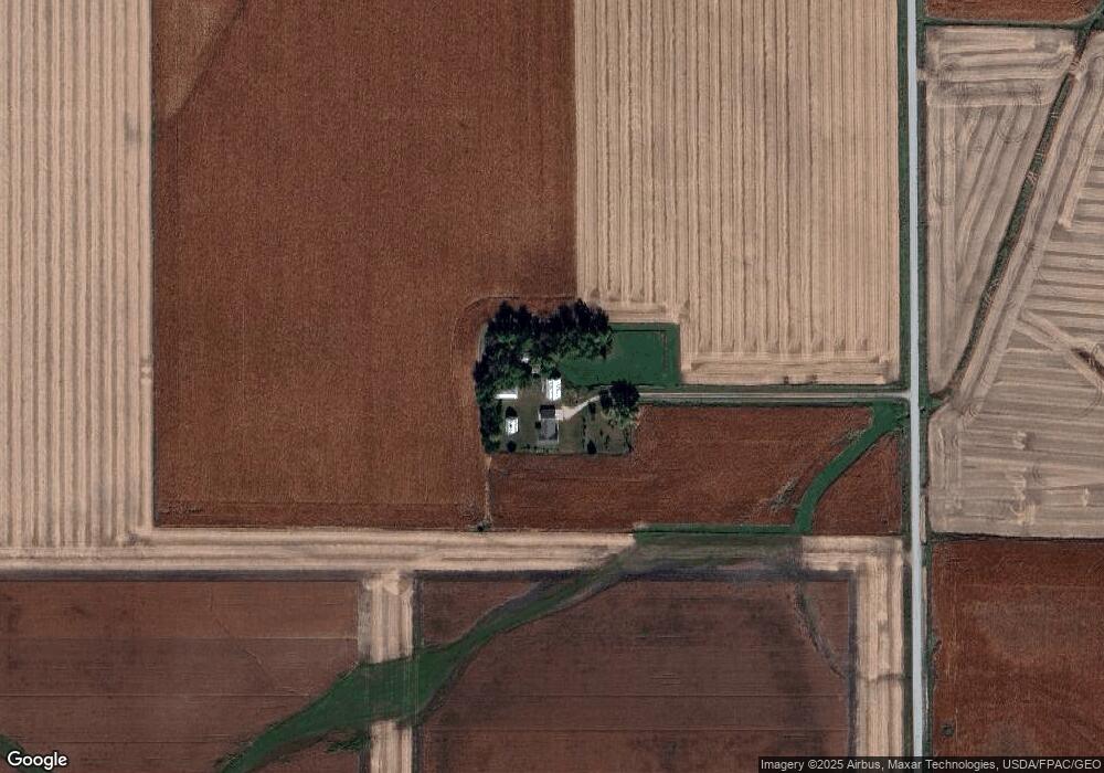
12425 I Ave Aplington, IA 50604
Estimated Value: $225,000 - $433,454
4
Beds
5
Baths
1,959
Sq Ft
$168/Sq Ft
Est. Value
About This Home
This home is located at 12425 I Ave, Aplington, IA 50604 and is currently estimated at $328,864, approximately $167 per square foot. 12425 I Ave is a home with nearby schools including Aplington Elementary School.
Ownership History
Date
Name
Owned For
Owner Type
Purchase Details
Closed on
Oct 3, 2025
Sold by
Sivola Family Revocable Trust and Sivola Susan K
Bought by
Maitland Hunter and Allen Tiffany
Current Estimated Value
Home Financials for this Owner
Home Financials are based on the most recent Mortgage that was taken out on this home.
Original Mortgage
$214,000
Outstanding Balance
$214,000
Interest Rate
6.58%
Mortgage Type
New Conventional
Estimated Equity
$114,864
Purchase Details
Closed on
Apr 18, 2008
Sold by
Sivola Eddie W and Sivola Susan K
Bought by
Sivola Eddie W and Sivola Susan K
Create a Home Valuation Report for This Property
The Home Valuation Report is an in-depth analysis detailing your home's value as well as a comparison with similar homes in the area
Home Values in the Area
Average Home Value in this Area
Purchase History
| Date | Buyer | Sale Price | Title Company |
|---|---|---|---|
| Maitland Hunter | $424,000 | None Listed On Document | |
| Sivola Eddie W | -- | None Available |
Source: Public Records
Mortgage History
| Date | Status | Borrower | Loan Amount |
|---|---|---|---|
| Open | Maitland Hunter | $214,000 |
Source: Public Records
Tax History Compared to Growth
Tax History
| Year | Tax Paid | Tax Assessment Tax Assessment Total Assessment is a certain percentage of the fair market value that is determined by local assessors to be the total taxable value of land and additions on the property. | Land | Improvement |
|---|---|---|---|---|
| 2025 | $3,912 | $386,000 | $51,640 | $334,360 |
| 2024 | $3,912 | $363,490 | $51,640 | $311,850 |
| 2023 | $3,818 | $363,490 | $51,640 | $311,850 |
| 2022 | $3,266 | $283,730 | $43,760 | $239,970 |
| 2021 | $3,266 | $283,730 | $43,760 | $239,970 |
| 2020 | $2,844 | $269,910 | $43,760 | $226,150 |
| 2019 | $2,758 | $230,433 | $4,173 | $226,260 |
| 2018 | $2,716 | $216,977 | $5,467 | $211,510 |
| 2017 | $2,716 | $216,977 | $5,467 | $211,510 |
| 2016 | $2,840 | $224,253 | $0 | $0 |
| 2015 | $2,840 | $250,369 | $0 | $0 |
| 2014 | $3,244 | $250,369 | $0 | $0 |
Source: Public Records
Map
Nearby Homes
- 11857 L Ave
- 14681 Westbrook St
- 502 7th St
- Tract 2 160th St
- 14815 Hwy 57
- 31442 Keystone Ave
- 710 3rd St
- 511 3rd St
- 402 Bethel St
- Conn Street Unit Parcel 1531202017
- 405 Bethel St
- 509 Lincoln St
- 408 1st St
- 412 Dickens St
- 706 Railroad St
- 208 1st St
- 1002 Falcon Ave
- 1205 Wemple St
- 11709 130th St
- 209 Brookside Dr