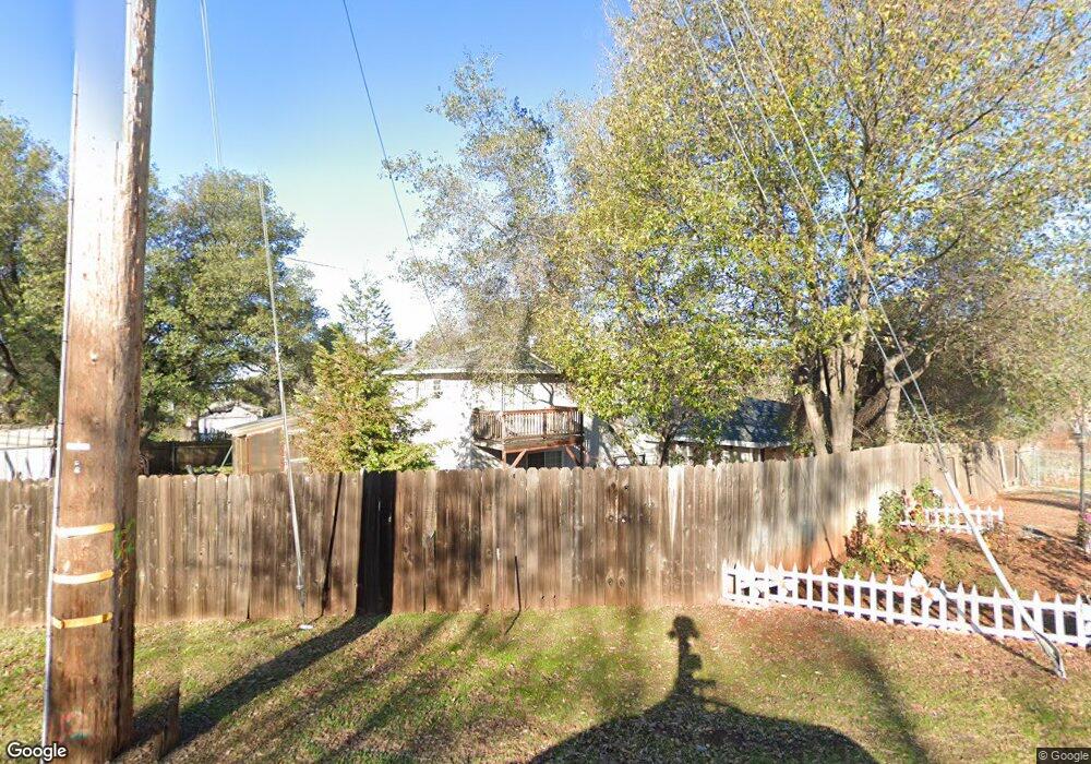
12425 New Airport Rd Auburn, CA 95603
Country Club Estates NeighborhoodEstimated Value: $456,000 - $693,096
3
Beds
2
Baths
2,047
Sq Ft
$298/Sq Ft
Est. Value
About This Home
This home is located at 12425 New Airport Rd, Auburn, CA 95603 and is currently estimated at $610,274, approximately $298 per square foot. 12425 New Airport Rd is a home located in Placer County with nearby schools including Auburn Elementary School, Placer High School, and EV Cain Middle.
Ownership History
Date
Name
Owned For
Owner Type
Purchase Details
Closed on
Aug 13, 2012
Sold by
Wisted Kathleen M and Mccuen Timothy R
Bought by
Wisted Kathleen M and Mccuen Timothy R
Current Estimated Value
Purchase Details
Closed on
Feb 2, 2011
Sold by
Wisted Kathleen M
Bought by
Wisted Kathleen M and Mccuen Timothy R
Purchase Details
Closed on
Aug 20, 2007
Sold by
Federal National Mortgage Association
Bought by
Wisted Kathleen M
Home Financials for this Owner
Home Financials are based on the most recent Mortgage that was taken out on this home.
Original Mortgage
$234,000
Outstanding Balance
$148,686
Interest Rate
6.73%
Mortgage Type
Unknown
Estimated Equity
$461,588
Purchase Details
Closed on
Aug 17, 2006
Sold by
American Home Mortgage Servicing Inc
Bought by
Federal National Mortgage Association
Purchase Details
Closed on
Aug 14, 2006
Sold by
Vivilacqua Barton J and Vivilacqua Jennifer A
Bought by
American Home Mortgage Servicing Inc
Purchase Details
Closed on
Jan 17, 2006
Sold by
Vivilacqua Barton J
Bought by
Wells Fargo Bank Na
Purchase Details
Closed on
Nov 13, 2003
Sold by
Vivilacqua Barton J
Bought by
Vivilacqua Barton J and Vivilacqua Jennifer A
Home Financials for this Owner
Home Financials are based on the most recent Mortgage that was taken out on this home.
Original Mortgage
$304,000
Interest Rate
4.12%
Mortgage Type
Unknown
Purchase Details
Closed on
Sep 17, 2002
Sold by
Landry David J and Landry Marilyn F
Bought by
Vivilacqua Barton J
Home Financials for this Owner
Home Financials are based on the most recent Mortgage that was taken out on this home.
Original Mortgage
$294,500
Interest Rate
7.55%
Purchase Details
Closed on
Sep 16, 2002
Sold by
Vivilacqua Jennifer
Bought by
Vivilacqua Barton J
Home Financials for this Owner
Home Financials are based on the most recent Mortgage that was taken out on this home.
Original Mortgage
$294,500
Interest Rate
7.55%
Purchase Details
Closed on
Aug 27, 1996
Sold by
Renaissance Associates 105
Bought by
Watson Rene L
Home Financials for this Owner
Home Financials are based on the most recent Mortgage that was taken out on this home.
Original Mortgage
$171,000
Interest Rate
8.42%
Create a Home Valuation Report for This Property
The Home Valuation Report is an in-depth analysis detailing your home's value as well as a comparison with similar homes in the area
Home Values in the Area
Average Home Value in this Area
Purchase History
| Date | Buyer | Sale Price | Title Company |
|---|---|---|---|
| Wisted Kathleen M | -- | None Available | |
| Wisted Kathleen M | -- | None Available | |
| Wisted Kathleen M | $292,500 | Chicago Title Company | |
| Federal National Mortgage Association | -- | United Title Company | |
| American Home Mortgage Servicing Inc | $303,909 | None Available | |
| Wells Fargo Bank Na | $85,824 | First American Title | |
| Vivilacqua Barton J | -- | Placer Title | |
| Vivilacqua Barton J | $310,000 | Alliance Title Company | |
| Vivilacqua Barton J | -- | Alliance Title Company | |
| Watson Rene L | $259,500 | Placer Title Company |
Source: Public Records
Mortgage History
| Date | Status | Borrower | Loan Amount |
|---|---|---|---|
| Open | Wisted Kathleen M | $234,000 | |
| Previous Owner | Vivilacqua Barton J | $304,000 | |
| Previous Owner | Vivilacqua Barton J | $294,500 | |
| Previous Owner | Watson Rene L | $171,000 |
Source: Public Records
Tax History Compared to Growth
Tax History
| Year | Tax Paid | Tax Assessment Tax Assessment Total Assessment is a certain percentage of the fair market value that is determined by local assessors to be the total taxable value of land and additions on the property. | Land | Improvement |
|---|---|---|---|---|
| 2025 | $5,193 | $373,018 | $198,258 | $174,760 |
| 2023 | $5,193 | $358,535 | $190,560 | $167,975 |
| 2022 | $4,963 | $351,506 | $186,824 | $164,682 |
| 2021 | $4,827 | $344,614 | $183,161 | $161,453 |
| 2020 | $4,800 | $341,081 | $181,283 | $159,798 |
| 2019 | $4,732 | $334,394 | $177,729 | $156,665 |
| 2018 | $4,540 | $327,839 | $174,245 | $153,594 |
| 2017 | $4,478 | $321,412 | $170,829 | $150,583 |
| 2016 | $4,408 | $315,111 | $167,480 | $147,631 |
| 2015 | $4,310 | $308,507 | $164,965 | $143,542 |
| 2014 | $4,261 | $302,465 | $161,734 | $140,731 |
Source: Public Records
Map
Nearby Homes
- 2285 Indian Rock Ln
- 2540 Grass Valley Hwy Unit SP 12
- 2540 Grass Valley Hwy Unit 27
- 2540 Grass Valley Hwy Unit 75
- 2540 Grass Valley Hwy Unit 72
- 2540 Grass Valley Hwy Unit 112
- 2540 Grass Valley Hwy Unit 34
- 2540 Grass Valley Hwy Unit 133
- 2540 Grass Valley Hwy Unit 105
- 2540 Grass Valley Hwy Unit 55
- 2825 Leeds Ct
- 2445 Briar Meadow Cir
- 2435 Briar Meadow Cir
- 2425 Briar Meadow Cir
- 2415 Briar Meadow Cir
- 2510 Bramble Ct
- 2667 Commons Place
- 2677 Commons Place
- 2500 Bramble Ct
- 2505 Bramble Ct
- 2435 Short Ln
- 12435 New Airport Rd
- 2405 Short Ln
- 12420 New Airport Rd
- 12400 Marathon Dr
- 12410 Marathon Dr
- 12430 New Airport Rd
- 12410 New Airport Rd
- 12390 Marathon Dr
- 2427 Short Ln
- 12420 Marathon Dr
- 12365 Reba Rd Unit 1+2
- 12365 Reba Rd
- 12365 Reba Short
- 12405 New Airport Rd
- 12430 Marathon Dr
- 12440 New Airport Rd
- 12400 New Airport Rd
- 12440 Marathon Dr
- 12395 Marathon Dr