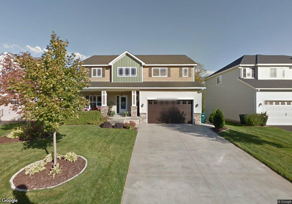
12429 Opal St NE Minneapolis, MN 55449
Estimated Value: $628,000 - $675,000
4
Beds
4
Baths
3,816
Sq Ft
$172/Sq Ft
Est. Value
About This Home
This home is located at 12429 Opal St NE, Minneapolis, MN 55449 and is currently estimated at $654,522, approximately $171 per square foot. 12429 Opal St NE is a home located in Anoka County with nearby schools including Sunrise Elementary School, Northdale Middle School, and Blaine Senior High School.
Ownership History
Date
Name
Owned For
Owner Type
Purchase Details
Closed on
Dec 5, 2008
Sold by
Woodside Willowbrook Llc
Bought by
Kobeska Eric S and Kobeska Britni
Current Estimated Value
Home Financials for this Owner
Home Financials are based on the most recent Mortgage that was taken out on this home.
Original Mortgage
$360,257
Outstanding Balance
$240,008
Interest Rate
6.3%
Mortgage Type
FHA
Estimated Equity
$414,514
Create a Home Valuation Report for This Property
The Home Valuation Report is an in-depth analysis detailing your home's value as well as a comparison with similar homes in the area
Home Values in the Area
Average Home Value in this Area
Purchase History
| Date | Buyer | Sale Price | Title Company |
|---|---|---|---|
| Kobeska Eric S | $365,038 | -- |
Source: Public Records
Mortgage History
| Date | Status | Borrower | Loan Amount |
|---|---|---|---|
| Open | Kobeska Eric S | $360,257 |
Source: Public Records
Tax History Compared to Growth
Tax History
| Year | Tax Paid | Tax Assessment Tax Assessment Total Assessment is a certain percentage of the fair market value that is determined by local assessors to be the total taxable value of land and additions on the property. | Land | Improvement |
|---|---|---|---|---|
| 2025 | $6,267 | $588,200 | $112,900 | $475,300 |
| 2024 | $6,267 | $573,500 | $111,100 | $462,400 |
| 2023 | $5,628 | $575,400 | $105,700 | $469,700 |
| 2022 | $5,458 | $571,600 | $92,400 | $479,200 |
| 2021 | $5,314 | $497,000 | $77,000 | $420,000 |
| 2020 | $5,324 | $473,700 | $77,000 | $396,700 |
| 2019 | $5,087 | $456,000 | $72,000 | $384,000 |
| 2018 | $5,161 | $425,700 | $0 | $0 |
| 2017 | $4,371 | $418,700 | $0 | $0 |
| 2016 | $4,560 | $364,200 | $0 | $0 |
| 2015 | $4,647 | $364,200 | $69,700 | $294,500 |
| 2014 | -- | $305,700 | $62,400 | $243,300 |
Source: Public Records
Map
Nearby Homes
- 12469 National St NE
- 12202 Opal St NE
- 2183 120th Ln NE
- 2150 120th Ln NE
- 2140 120th Ln NE
- 4873 127th Cir NE
- 4883 127th Cir NE
- 4890 127th Ln NE
- 4373 123rd Cir NE
- 4903 127th Cir NE
- 12169 Hupp St NE
- 12745 Stutz Ct NE
- 4891 127th Ln NE
- 4881 127th Ln NE
- 4872 128th Cir NE
- Aspen Plan at Oakwood Ponds
- Middleton Plan at Oakwood Ponds
- Kenton Plan at Oakwood Ponds
- Sutherland Plan at Oakwood Ponds
- Victoria Plan at Oakwood Ponds
- 12415 Opal St NE
- 12435 Opal St NE
- 12407 Opal St NE
- 12447 Opal St NE
- 12416 Opal St NE
- 12432 Opal St NE
- 12440 Opal St NE
- 12408 Opal St NE
- 12453 Opal St NE
- 12401 Opal St NE
- 12448 Opal St NE
- 12400 Opal St NE
- 12459 Opal St NE
- 12454 Opal St NE
- 12449 National St NE
- 12449 National St NE
- 12455 National St NE
- 12445 National St NE
- 12445 12445 National-Street-ne
- 12445 12445 National-Street-ne