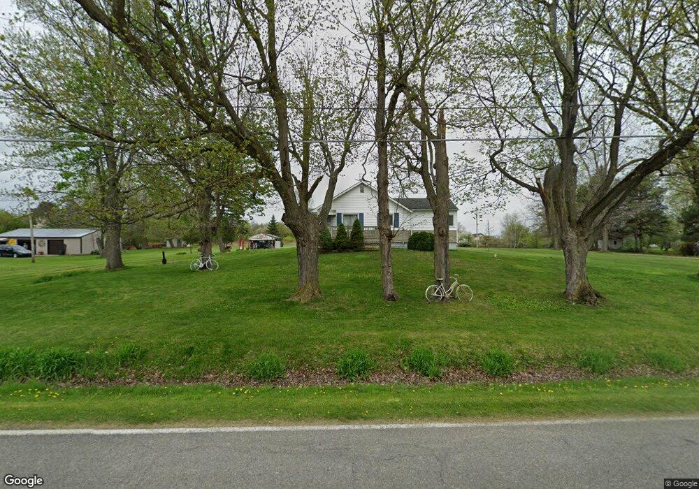
12429 W Lennon Rd Lennon, MI 48449
Estimated Value: $197,000 - $234,000
3
Beds
1
Bath
1,394
Sq Ft
$154/Sq Ft
Est. Value
About This Home
This home is located at 12429 W Lennon Rd, Lennon, MI 48449 and is currently estimated at $214,666, approximately $153 per square foot. 12429 W Lennon Rd is a home located in Genesee County with nearby schools including Bertha Neal Elementary School, Robert Kerr School, and Durand Middle School.
Ownership History
Date
Name
Owned For
Owner Type
Purchase Details
Closed on
Sep 25, 2020
Sold by
Henige Shirley A
Bought by
Hromek Larry J
Current Estimated Value
Purchase Details
Closed on
Sep 22, 2020
Sold by
Chango Nancy D
Bought by
Hromek Larry J
Purchase Details
Closed on
Jun 6, 2011
Sold by
Hromek Larry J
Bought by
Hromek Larry J and Hromek Robert
Purchase Details
Closed on
Aug 9, 2000
Sold by
Brownfield David A and Brownfield Mickie
Bought by
Citizens Bank
Create a Home Valuation Report for This Property
The Home Valuation Report is an in-depth analysis detailing your home's value as well as a comparison with similar homes in the area
Home Values in the Area
Average Home Value in this Area
Purchase History
| Date | Buyer | Sale Price | Title Company |
|---|---|---|---|
| Hromek Larry J | $19,750 | None Available | |
| Hromek Larry J | $19,750 | None Available | |
| Hromek Larry J | $19,750 | None Available | |
| Hromek Larry J | -- | None Available | |
| Citizens Bank | $47,599 | -- |
Source: Public Records
Tax History Compared to Growth
Tax History
| Year | Tax Paid | Tax Assessment Tax Assessment Total Assessment is a certain percentage of the fair market value that is determined by local assessors to be the total taxable value of land and additions on the property. | Land | Improvement |
|---|---|---|---|---|
| 2025 | $2,571 | $95,100 | $0 | $0 |
| 2024 | $728 | $80,000 | $0 | $0 |
| 2023 | $694 | $67,100 | $0 | $0 |
| 2022 | $2,329 | $62,700 | $0 | $0 |
| 2021 | $2,253 | $61,900 | $0 | $0 |
| 2020 | $421 | $63,100 | $0 | $0 |
| 2019 | $414 | $63,300 | $0 | $0 |
| 2018 | $1,256 | $71,000 | $0 | $0 |
| 2017 | $1,200 | $71,000 | $0 | $0 |
| 2016 | $1,179 | $64,600 | $0 | $0 |
| 2015 | $1,026 | $61,000 | $0 | $0 |
| 2014 | $382 | $46,700 | $0 | $0 |
| 2012 | -- | $32,500 | $32,500 | $0 |
Source: Public Records
Map
Nearby Homes
- V/L S Sheridan Rd
- 2548 S Sheridan Rd
- 908 Tyler Rd
- 805 Oak St
- 1936 Elmwood Dr
- 11295 E Lytle Rd
- 12502 W Corunna Rd
- 4101 S Sheridan Rd Unit 132
- 4014 S Duffield Rd
- TBD E Brooks Rd N of Us 69 W of M13
- 4101 lot 171 S Sheridan
- 11424 Corunna Rd
- 11415 Miller Rd
- 1475 S Nichols Rd
- 9895 E Brooks Rd
- 10141 McEnrue Rd
- 5051 Nichols Rd
- 9508 E Lytle Rd
- 10001 Goodall Unit 77
- 0 Corunna Rd Unit 20251051464
- 12409 W Lennon Rd
- 12375 W Lennon Rd
- 12441 W Lennon Rd
- 12449 W Lennon Rd
- 12422 W Lennon Rd
- 12369 W Lennon Rd
- 12455 W Lennon Rd
- 12455 W Lennon Rd
- 12418 W Lennon Rd
- 12408 W Lennon Rd
- 12428 W Lennon Rd
- 12463 W Lennon Rd
- 12446 W Lennon Rd
- 12469 W Lennon Rd
- 12380 W Lennon Rd
- 3029 S Sheridan Rd
- 12456 W Lennon Rd
- 12473 W Lennon Rd
- 12365 W Lennon Rd
- 3037 S Sheridan Rd