1243 Davis Hill Rd Center Conway, NH 03813
Estimated Value: $505,103 - $612,000
4
Beds
2
Baths
2,130
Sq Ft
$267/Sq Ft
Est. Value
About This Home
This home is located at 1243 Davis Hill Rd, Center Conway, NH 03813 and is currently estimated at $567,776, approximately $266 per square foot. 1243 Davis Hill Rd is a home located in Carroll County with nearby schools including A. Crosby Kennett Middle School and Kennett High School.
Ownership History
Date
Name
Owned For
Owner Type
Purchase Details
Closed on
Jun 6, 2006
Sold by
Friary Marguerite W
Bought by
King Rodney E
Current Estimated Value
Home Financials for this Owner
Home Financials are based on the most recent Mortgage that was taken out on this home.
Original Mortgage
$250,000
Interest Rate
6.55%
Mortgage Type
Purchase Money Mortgage
Create a Home Valuation Report for This Property
The Home Valuation Report is an in-depth analysis detailing your home's value as well as a comparison with similar homes in the area
Home Values in the Area
Average Home Value in this Area
Purchase History
| Date | Buyer | Sale Price | Title Company |
|---|---|---|---|
| King Rodney E | $325,000 | -- |
Source: Public Records
Mortgage History
| Date | Status | Borrower | Loan Amount |
|---|---|---|---|
| Open | King Rodney E | $250,000 | |
| Closed | King Rodney E | $250,000 |
Source: Public Records
Tax History Compared to Growth
Tax History
| Year | Tax Paid | Tax Assessment Tax Assessment Total Assessment is a certain percentage of the fair market value that is determined by local assessors to be the total taxable value of land and additions on the property. | Land | Improvement |
|---|---|---|---|---|
| 2024 | $5,642 | $470,200 | $0 | $0 |
| 2023 | $5,073 | $0 | $0 | $0 |
| 2022 | $5,326 | $292,000 | $0 | $0 |
| 2021 | $4,771 | $292,000 | $74,800 | $217,200 |
| 2020 | $5,236 | $301,100 | $83,900 | $217,200 |
| 2019 | $5,215 | $301,100 | $83,900 | $217,200 |
| 2018 | $5,174 | $247,300 | $68,600 | $178,700 |
| 2017 | $4,941 | $247,300 | $68,600 | $178,700 |
| 2016 | $4,775 | $247,300 | $68,600 | $178,700 |
| 2015 | $4,708 | $246,600 | $68,600 | $178,000 |
| 2014 | $4,651 | $246,600 | $68,600 | $178,000 |
| 2013 | $4,460 | $249,700 | $68,600 | $181,100 |
Source: Public Records
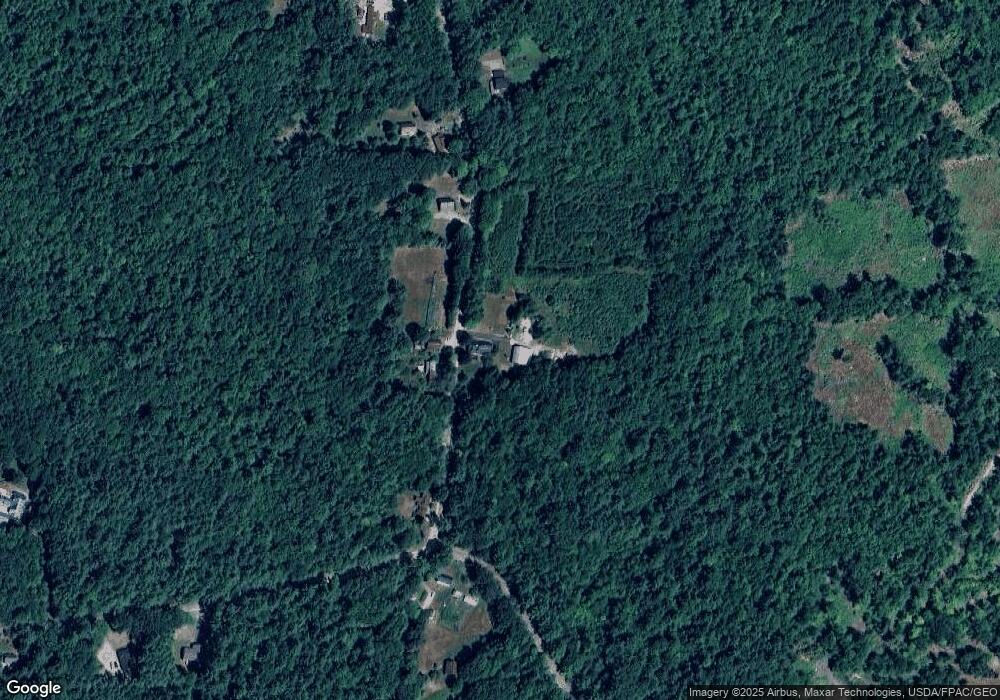
Map
Nearby Homes
- 00 Brownfield Rd Unit 11
- 00 Davis Hill Rd Unit 97
- 827 Davis Hill Rd
- 361 Davis Hill Rd
- 289 Davis Hill Rd
- 293 Pemigewasset Dr
- 33 Sands Cir
- 48 Sands Cir Unit 48D
- 470 Center Conway Rd
- 25 Singer Ln
- 574 Old Mill Rd
- 106 Pemigewasset Dr
- 443 Greeley Rd
- 42 Moose Hollow Ln
- 1049 E Main St
- 42 Harmony Ln Unit 5
- 63 Mill St
- 1440 E Conway Rd
- 156 Birch Hill Rd
- 00 Stritch Rd Unit 58
- 1244 Davis Hill Rd
- 1200 Davis Hill Rd
- 1200 Davis Hill Rd
- 1286 Davis Hill Rd
- 1286 Davis Hill Rd
- 0 Brownfield Rd Unit 4181427
- 0 Brownfield Rd Unit 4041580
- 0 Brownfield Rd Unit 4838109
- 00 Brownfield Rd
- 0 Brownfield Rd Unit Lot 10 4793963
- 0 Brownfield Rd Unit Lot 10 4679173
- Lot 1 Brownfield Rd
- Lot 5 Brownfield Rd
- Lot 3 Brownfield Rd
- 00 Davis Hill Rd
- 00 Davis Hill Rd Unit 5-2
- 1182 Davis Hill Rd
- 1167 Davis Hill Rd
- 13 Gulf Rd
- 0 Davis Hill Unit 4243468