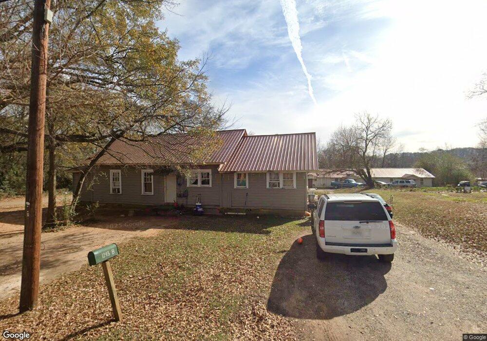
1243 Hazel St Gainesville, GA 30501
West Side NeighborhoodEstimated Value: $254,000 - $631,000
3
Beds
4
Baths
1,033
Sq Ft
$363/Sq Ft
Est. Value
About This Home
This home is located at 1243 Hazel St, Gainesville, GA 30501 and is currently estimated at $375,117, approximately $363 per square foot. 1243 Hazel St is a home located in Hall County with nearby schools including Lyman Hall Elementary School, West Hall Middle School, and West Hall High School.
Ownership History
Date
Name
Owned For
Owner Type
Purchase Details
Closed on
Jan 15, 2024
Sold by
Phin Llc
Bought by
Lenat Llc
Current Estimated Value
Purchase Details
Closed on
Dec 12, 2022
Sold by
One Son Properties Llc
Bought by
Phin Llc
Purchase Details
Closed on
Dec 21, 2015
Sold by
Allen Robert E
Bought by
Hughes Shaun Patrick
Purchase Details
Closed on
May 22, 2003
Sold by
Allen Robert E
Bought by
Hall County Georgia
Create a Home Valuation Report for This Property
The Home Valuation Report is an in-depth analysis detailing your home's value as well as a comparison with similar homes in the area
Home Values in the Area
Average Home Value in this Area
Purchase History
| Date | Buyer | Sale Price | Title Company |
|---|---|---|---|
| Lenat Llc | -- | -- | |
| Phin Llc | -- | -- | |
| Hughes Shaun Patrick | $135,000 | -- | |
| Hall County Georgia | $5,000 | -- |
Source: Public Records
Tax History Compared to Growth
Tax History
| Year | Tax Paid | Tax Assessment Tax Assessment Total Assessment is a certain percentage of the fair market value that is determined by local assessors to be the total taxable value of land and additions on the property. | Land | Improvement |
|---|---|---|---|---|
| 2024 | $2,620 | $100,120 | $15,560 | $84,560 |
| 2023 | $2,599 | $99,280 | $20,360 | $78,920 |
| 2022 | $2,306 | $80,922 | $39,719 | $41,203 |
| 2021 | $2,350 | $81,080 | $39,719 | $41,361 |
| 2020 | $1,697 | $126,400 | $61,920 | $64,480 |
| 2019 | $1,710 | $69,600 | $10,320 | $59,280 |
| 2018 | $1,835 | $62,160 | $7,720 | $54,440 |
| 2017 | $1,818 | $59,120 | $7,720 | $51,400 |
| 2016 | $1,552 | $46,086 | $7,720 | $38,366 |
| 2015 | $1,354 | $43,966 | $5,600 | $38,366 |
| 2014 | $1,354 | $43,966 | $5,600 | $38,366 |
Source: Public Records
Map
Nearby Homes
- 593 Shallowford Rd NW
- 0 Hilton Dr Unit 7585721
- 0 Hilton Dr Unit 10529633
- 724 Bradford St SW
- 720 Bradford St SW
- 105 Dogwood Cir
- 43 Dean St
- 110 Summit St SE
- 474 Martin Alley
- 1220 Harmony St
- 2054 Spring Rd
- 2129 Dixie Dr
- 1636 Atlanta Hwy
- 775 Ridgewood Ave
- 2340 Ridgeway Dr
- 652 Wilshire Place
- 650 Blueridge Ave
- 601 Ridgewood Ave
- 917 Airport Dr
- 1240 Hazel St
- 1226 Holland St
- 1217 Hazel St
- 1224 Holland St
- 1220 Holland St
- 46 Highland Ave
- 1215 Hazel St
- 1230 Holland St
- 906 Airport Dr
- 1042 Airport Dr
- 908 Airport Dr
- 1218 Holland St
- 44 Highland Ave
- 1 Rider Dr
- 49 Highland Ave
- 0 Rider Dr Unit 7239577
- 0 Rider Dr Unit 7183786
- 0 Rider Dr Unit 7086790
- 0 Rider Dr Unit 3261169