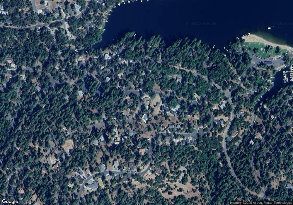
12430 Mills St Unit 47 Groveland, CA 95321
Estimated Value: $502,000 - $638,531
4
Beds
4
Baths
3,582
Sq Ft
$162/Sq Ft
Est. Value
About This Home
This home is located at 12430 Mills St Unit 47, Groveland, CA 95321 and is currently estimated at $580,383, approximately $162 per square foot. 12430 Mills St Unit 47 is a home located in Tuolumne County.
Ownership History
Date
Name
Owned For
Owner Type
Purchase Details
Closed on
Mar 19, 2013
Sold by
Smith D Michael and Smith Joan E
Bought by
Smith D Michael and Smith Joan E
Current Estimated Value
Purchase Details
Closed on
Jun 11, 2009
Sold by
Pruess Alan J and Pruess Sherry L
Bought by
Smith D Michael and Smith Joan E
Home Financials for this Owner
Home Financials are based on the most recent Mortgage that was taken out on this home.
Original Mortgage
$358,150
Outstanding Balance
$226,528
Interest Rate
4.79%
Mortgage Type
Purchase Money Mortgage
Estimated Equity
$353,855
Create a Home Valuation Report for This Property
The Home Valuation Report is an in-depth analysis detailing your home's value as well as a comparison with similar homes in the area
Home Values in the Area
Average Home Value in this Area
Purchase History
| Date | Buyer | Sale Price | Title Company |
|---|---|---|---|
| Smith D Michael | -- | None Available | |
| Smith D Michael | $377,000 | Yosemite Title Company |
Source: Public Records
Mortgage History
| Date | Status | Borrower | Loan Amount |
|---|---|---|---|
| Open | Smith D Michael | $358,150 |
Source: Public Records
Tax History Compared to Growth
Tax History
| Year | Tax Paid | Tax Assessment Tax Assessment Total Assessment is a certain percentage of the fair market value that is determined by local assessors to be the total taxable value of land and additions on the property. | Land | Improvement |
|---|---|---|---|---|
| 2025 | $5,245 | $486,626 | $64,533 | $422,093 |
| 2024 | $5,245 | $477,085 | $63,268 | $413,817 |
| 2023 | $5,129 | $467,731 | $62,028 | $405,703 |
| 2022 | $5,030 | $458,561 | $60,812 | $397,749 |
| 2021 | $4,958 | $449,570 | $59,620 | $389,950 |
| 2020 | $4,877 | $444,961 | $59,009 | $385,952 |
| 2019 | $4,729 | $436,237 | $57,852 | $378,385 |
| 2018 | $4,619 | $427,684 | $56,718 | $370,966 |
| 2017 | $4,539 | $419,299 | $55,606 | $363,693 |
| 2016 | $4,426 | $411,078 | $54,516 | $356,562 |
| 2015 | $4,368 | $404,905 | $53,698 | $351,207 |
| 2014 | $4,267 | $396,975 | $52,647 | $344,328 |
Source: Public Records
Map
Nearby Homes
- 19779 Pine Mountain Dr
- 19709 Pine Mountain Dr
- 19824 Pine Mountain Dr
- 12435 Cassaretto Ct
- 19673 Jonny Degnan Ct
- 20029 Upper Skyridge Dr Unit 15
- 12295 Sunnyside Way
- 19710 Butler Way
- 12080 Breckenridge Rd
- 19513 Grizzly Cir
- 19574 Butler Way
- 12064 Hillhurst Cir
- 12309 Shooting Star Ct
- 19935 Pine Mountain Dr
- 12017 Hillhurst Cir
- 19501 Chaffee Cir
- 12780 Mount Jefferson St
- 12430 Mills St Unit 8
- 12430 Mills St
- 12420 Mills St
- 12426 Sunnyside Way
- 12415 Sunnyside Way Unit 48
- 12415 Sunnyside Way
- 12416 Sunnyside Way
- 12429 Mills St
- 12414 Mills St Unit 8-44
- 12414 Mills St
- 12435 Mills St
- 12435 Mills St Unit 30
- 12442 Mills St Unit 24
- 12442 Mills St
- 12439 Mills St
- 12404 Sunnyside Way
- 12415 Mills St Unit 33
- 12415 Mills St
- 12346 Mills St Unit 90
- 12346 Mills St
