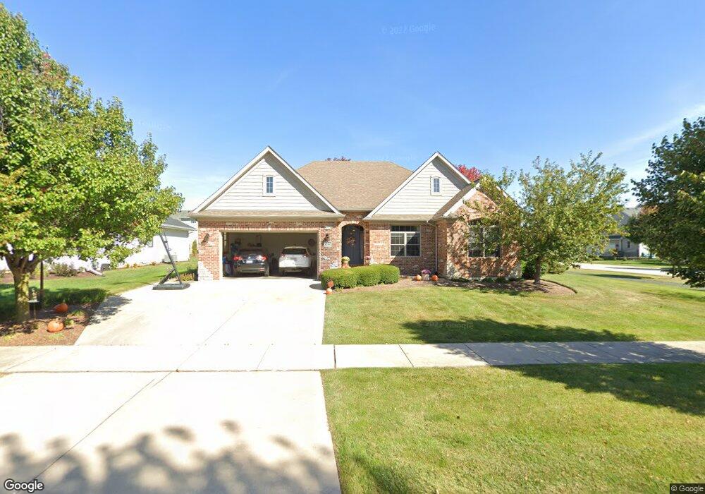
1244 Beed Ave Elburn, IL 60119
Estimated Value: $489,622 - $589,000
3
Beds
2
Baths
2,490
Sq Ft
$222/Sq Ft
Est. Value
About This Home
This home is located at 1244 Beed Ave, Elburn, IL 60119 and is currently estimated at $552,156, approximately $221 per square foot. 1244 Beed Ave is a home located in Kane County with nearby schools including Kaneland Blackberry Creek Elementary School, Harter Middle School, and Kaneland High School.
Ownership History
Date
Name
Owned For
Owner Type
Purchase Details
Closed on
Nov 18, 2011
Sold by
Graff Genevieve K
Bought by
Graff Genevieve K
Current Estimated Value
Purchase Details
Closed on
Aug 9, 2006
Sold by
Premier Home Builders Inc
Bought by
Perry Virgil H and Perry Denise L
Home Financials for this Owner
Home Financials are based on the most recent Mortgage that was taken out on this home.
Original Mortgage
$318,400
Outstanding Balance
$191,370
Interest Rate
6.78%
Mortgage Type
Purchase Money Mortgage
Estimated Equity
$360,786
Create a Home Valuation Report for This Property
The Home Valuation Report is an in-depth analysis detailing your home's value as well as a comparison with similar homes in the area
Home Values in the Area
Average Home Value in this Area
Purchase History
| Date | Buyer | Sale Price | Title Company |
|---|---|---|---|
| Graff Genevieve K | -- | None Available | |
| Perry Virgil H | $398,000 | American Title |
Source: Public Records
Mortgage History
| Date | Status | Borrower | Loan Amount |
|---|---|---|---|
| Open | Perry Virgil H | $318,400 |
Source: Public Records
Tax History
| Year | Tax Paid | Tax Assessment Tax Assessment Total Assessment is a certain percentage of the fair market value that is determined by local assessors to be the total taxable value of land and additions on the property. | Land | Improvement |
|---|---|---|---|---|
| 2024 | -- | $153,349 | $17,164 | $136,185 |
| 2023 | -- | $138,402 | $15,491 | $122,911 |
| 2022 | $0 | $137,299 | $14,217 | $123,082 |
| 2021 | $13,040 | $131,411 | $13,607 | $117,804 |
| 2020 | $0 | $128,331 | $13,288 | $115,043 |
| 2019 | $13,040 | $126,447 | $13,093 | $113,354 |
| 2018 | $0 | $126,539 | $13,093 | $113,446 |
| 2017 | $0 | $125,100 | $12,944 | $112,156 |
| 2016 | $13,040 | $125,033 | $12,602 | $112,431 |
| 2015 | -- | $90,961 | $8,711 | $82,250 |
| 2014 | -- | $88,271 | $11,167 | $77,104 |
| 2013 | -- | $88,271 | $11,167 | $77,104 |
Source: Public Records
Map
Nearby Homes
- 1171 Souders Ave
- 1383 Dodson Ave
- 801 Citizen Ave
- 765 Carolyn Ct
- 1038 Veteran Ave
- 1076 Freedom Rd
- 1074 Freedom Rd
- 1123 Sears Cir
- 980 Sears Cir
- 1106 Kendall St Unit 6
- 815 Kindberg Ct
- 713 Elizabeth St
- 671 Virginia St
- 645 Virginia St
- 607 Virginia St
- 634 Virginia St
- 16 Derek Dr
- Lot #11 Derek Dr
- Lot #12 Derek Dr
- Lot #5 Derek Dr
- 1230 Beed Ave
- L1041 Beed Ave
- Lot 940 Beed Ave
- Lot 936 Beed Ave
- 1269 Souders Ave
- 1241 Souders Ave
- 1030 Settler St
- Lot 945 Settler St
- 1210 Beed Ave
- 1490 Settler St
- 1201 Beed Ave
- 1270 Beed Ave
- 1281 Souders Ave
- 1225 Souders Ave
- 1284 Beed Ave
- 1195 Beed Ave
- 1275 Beed Ave
- 1203 Souders Ave
- 1540 Settler St
- 1297 Souders Ave
Your Personal Tour Guide
Ask me questions while you tour the home.