1244 S Maple Ave Le Center, MN 56057
Estimated Value: $544,000
5
Beds
1
Bath
1,846
Sq Ft
$295/Sq Ft
Est. Value
About This Home
This home is located at 1244 S Maple Ave, Le Center, MN 56057 and is currently estimated at $544,000, approximately $294 per square foot. 1244 S Maple Ave is a home with nearby schools including Tri-City United Le Center PreK-8 Elementary/Middle School and Tri-City United High School.
Ownership History
Date
Name
Owned For
Owner Type
Purchase Details
Closed on
Nov 15, 2016
Sold by
Budin Donald Donald
Bought by
Budin Timothy Timothy
Current Estimated Value
Home Financials for this Owner
Home Financials are based on the most recent Mortgage that was taken out on this home.
Original Mortgage
$150,000
Outstanding Balance
$120,990
Interest Rate
3.57%
Estimated Equity
$423,010
Create a Home Valuation Report for This Property
The Home Valuation Report is an in-depth analysis detailing your home's value as well as a comparison with similar homes in the area
Home Values in the Area
Average Home Value in this Area
Purchase History
| Date | Buyer | Sale Price | Title Company |
|---|---|---|---|
| Budin Timothy Timothy | $150,000 | -- |
Source: Public Records
Mortgage History
| Date | Status | Borrower | Loan Amount |
|---|---|---|---|
| Open | Budin Timothy Timothy | $150,000 |
Source: Public Records
Tax History Compared to Growth
Tax History
| Year | Tax Paid | Tax Assessment Tax Assessment Total Assessment is a certain percentage of the fair market value that is determined by local assessors to be the total taxable value of land and additions on the property. | Land | Improvement |
|---|---|---|---|---|
| 2025 | $2,880 | $507,500 | $167,200 | $340,300 |
| 2024 | $2,544 | $499,400 | $167,200 | $332,200 |
| 2023 | $2,624 | $479,700 | $155,600 | $324,100 |
| 2022 | $2,340 | $454,200 | $149,700 | $304,500 |
| 2021 | $2,118 | $385,400 | $128,800 | $256,600 |
| 2020 | $1,996 | $363,200 | $118,800 | $244,400 |
| 2019 | $1,762 | $330,900 | $111,949 | $218,951 |
| 2018 | $1,747 | $296,200 | $111,080 | $185,120 |
| 2017 | $1,455 | $276,700 | $105,461 | $171,239 |
| 2016 | $3,722 | $275,800 | $104,560 | $171,240 |
| 2015 | $3,707 | $793,000 | $607,499 | $185,501 |
| 2014 | $3,437 | $769,500 | $598,259 | $171,241 |
| 2013 | $3,514 | $752,000 | $580,761 | $171,239 |
Source: Public Records
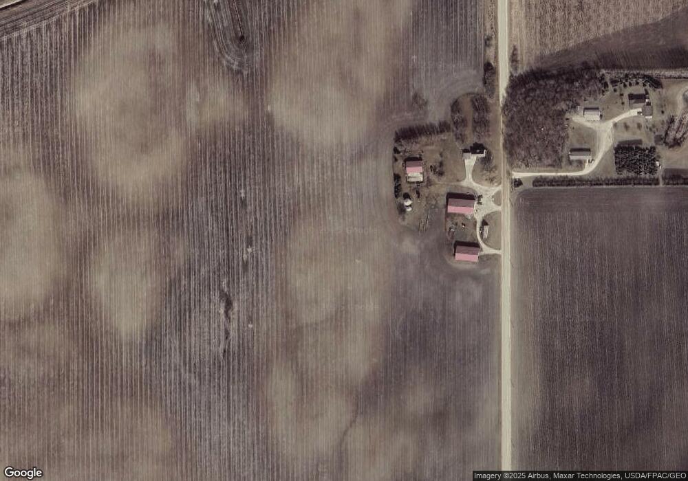
Map
Nearby Homes
- 630 Cedar Ridge Ave
- 345 E Horizon Dr
- 345 Horizon Dr
- 320 S Waterville Ave
- 260 S Park Ave
- XXX E Commerce Dr
- 233 233 S Park Ave
- 20 S Inga Ave
- 260 260 E Minnesota St
- 260 E Minnesota St
- 330 E Tyrone St
- 0 Xxx Woodview Ln
- 571 N Park Ave
- 580 N Waterville Ave
- 580 N Waterville Ave Unit Waterville Avenue No
- 372 372 S Rolling Hills Dr
- 623 E Rolling Hills Dr
- TBD 211th Ave
- 38630 Woodview Ln
- XXX Woodview Ln
- 1229 S Maple Ave
- 23359 400th St
- 998 S Cordova Ave
- 23345 400th St
- 40129 S Maple Ave
- 15 Montgomery Mhp
- 30 Montgomery Mhp
- 26 Montgomery Mhp
- 10 Montgomery Mhp
- 5 Montgomery Mhp
- 4 Montgomery Mhp
- 25 Montgomery Mhp
- 29 Montgomery Mhp
- 12 Montgomery Mhp
- 16 Montgomery Mhp
- 14 Montgomery Mhp
- 41 Montgomery Mhp
- 27 Montgomery Mhp
- 8 Montgomery Mhp
- 34 Montgomery Mhp