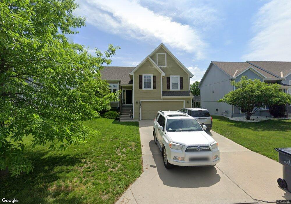
12441 S Quail Ridge Dr Olathe, KS 66061
Estimated Value: $380,321 - $401,000
3
Beds
3
Baths
1,350
Sq Ft
$292/Sq Ft
Est. Value
About This Home
This home is located at 12441 S Quail Ridge Dr, Olathe, KS 66061 and is currently estimated at $394,830, approximately $292 per square foot. 12441 S Quail Ridge Dr is a home located in Johnson County with nearby schools including Ravenwood Elementary School, Summit Trail Middle School, and Olathe Northwest High School.
Ownership History
Date
Name
Owned For
Owner Type
Purchase Details
Closed on
Oct 10, 2007
Sold by
Rodrock Homes Llc
Bought by
Poland Philip Jason and Poland Jennifer L
Current Estimated Value
Purchase Details
Closed on
May 24, 2006
Sold by
Maple Brook Park Partners Llc
Bought by
Concord Homes Llc
Create a Home Valuation Report for This Property
The Home Valuation Report is an in-depth analysis detailing your home's value as well as a comparison with similar homes in the area
Home Values in the Area
Average Home Value in this Area
Purchase History
| Date | Buyer | Sale Price | Title Company |
|---|---|---|---|
| Poland Philip Jason | -- | First American Title Insuran | |
| Concord Homes Llc | -- | None Available |
Source: Public Records
Mortgage History
| Date | Status | Borrower | Loan Amount |
|---|---|---|---|
| Closed | Poland Philip Jason | $0 |
Source: Public Records
Tax History Compared to Growth
Tax History
| Year | Tax Paid | Tax Assessment Tax Assessment Total Assessment is a certain percentage of the fair market value that is determined by local assessors to be the total taxable value of land and additions on the property. | Land | Improvement |
|---|---|---|---|---|
| 2024 | $4,665 | $41,538 | $7,826 | $33,712 |
| 2023 | $4,620 | $40,307 | $6,519 | $33,788 |
| 2022 | $4,222 | $35,857 | $5,665 | $30,192 |
| 2021 | $4,002 | $32,384 | $5,665 | $26,719 |
| 2020 | $3,857 | $30,935 | $5,152 | $25,783 |
| 2019 | $3,701 | $29,498 | $5,152 | $24,346 |
| 2018 | $3,407 | $26,990 | $4,478 | $22,512 |
| 2017 | $3,450 | $27,037 | $4,068 | $22,969 |
| 2016 | $3,115 | $25,059 | $4,068 | $20,991 |
| 2015 | $3,017 | $24,288 | $4,068 | $20,220 |
| 2013 | -- | $22,287 | $5,267 | $17,020 |
Source: Public Records
Map
Nearby Homes
- 12386 S Lincoln St
- 12525 S Lincoln St
- 12151 S Clinton St
- 12122 S Redbud Ln
- 21205 W 125th Terrace
- 500 E Harold St
- 11588 S Houston St
- 12421 S Parker Terrace
- 12036 S Clinton St
- 21320 W 123rd Ct
- 540 W Northview St
- 19797 W 121st St
- 1009 N Walker Ln
- 11957 S Monroe St
- 1012 N Troost Ave
- 1124 N Curtis St
- 397 W Johnston St
- 925 N Walker Ln
- 11934 S Monroe St
- 1002 N Parker Terrace
- 12433 S Quail Ridge Dr
- 12453 S Quail Ridge Dr
- 12430 S Race St
- 12421 S Quail Ridge Dr
- 12465 S Quail Ridge Dr
- 12398 S Race St
- 12452 S Race St
- 12394 S Race St
- 12436 S Quail Ridge Dr
- 12464 S Race St
- 12448 S Quail Ridge Dr
- 12409 S Quail Ridge Dr
- 12424 S Quail Ridge Dr
- 12460 S Quail Ridge Dr
- 20564 W 124th Terrace
- 12390 S Race St
- 20542 W 124th Terrace
- 12412 S Quail Ridge Dr
- 12472 S Quail Ridge Dr
- 12397 S Quail Ridge Dr