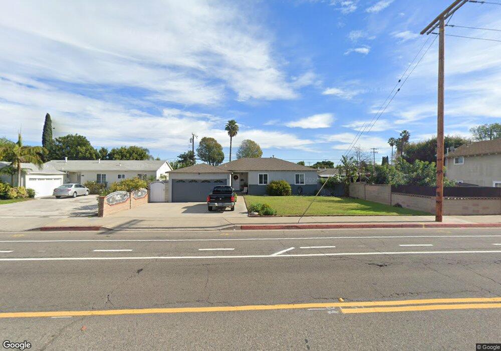
12442 West St Garden Grove, CA 92840
Estimated Value: $852,199 - $921,000
3
Beds
2
Baths
1,120
Sq Ft
$793/Sq Ft
Est. Value
About This Home
This home is located at 12442 West St, Garden Grove, CA 92840 and is currently estimated at $887,800, approximately $792 per square foot. 12442 West St is a home located in Orange County with nearby schools including Violette Elementary School, Izaak Walton Intermediate School, and Santiago High School.
Ownership History
Date
Name
Owned For
Owner Type
Purchase Details
Closed on
Oct 28, 2003
Sold by
Haefele Yvonne
Bought by
Haefele Mark C
Current Estimated Value
Home Financials for this Owner
Home Financials are based on the most recent Mortgage that was taken out on this home.
Original Mortgage
$200,000
Interest Rate
5.98%
Mortgage Type
Purchase Money Mortgage
Create a Home Valuation Report for This Property
The Home Valuation Report is an in-depth analysis detailing your home's value as well as a comparison with similar homes in the area
Home Values in the Area
Average Home Value in this Area
Purchase History
| Date | Buyer | Sale Price | Title Company |
|---|---|---|---|
| Haefele Mark C | -- | Diversified Title Company | |
| Haefele Mark C | -- | Investors Title Company |
Source: Public Records
Mortgage History
| Date | Status | Borrower | Loan Amount |
|---|---|---|---|
| Closed | Haefele Mark C | $200,000 |
Source: Public Records
Tax History Compared to Growth
Tax History
| Year | Tax Paid | Tax Assessment Tax Assessment Total Assessment is a certain percentage of the fair market value that is determined by local assessors to be the total taxable value of land and additions on the property. | Land | Improvement |
|---|---|---|---|---|
| 2025 | $2,335 | $162,475 | $88,568 | $73,907 |
| 2024 | $2,335 | $159,290 | $86,832 | $72,458 |
| 2023 | $2,289 | $156,167 | $85,129 | $71,038 |
| 2022 | $2,237 | $153,105 | $83,459 | $69,646 |
| 2021 | $2,207 | $150,103 | $81,822 | $68,281 |
| 2020 | $2,181 | $148,564 | $80,983 | $67,581 |
| 2019 | $2,156 | $145,651 | $79,395 | $66,256 |
| 2018 | $2,107 | $142,796 | $77,839 | $64,957 |
| 2017 | $2,085 | $139,997 | $76,313 | $63,684 |
| 2016 | $1,991 | $137,252 | $74,816 | $62,436 |
| 2015 | $1,965 | $135,191 | $73,692 | $61,499 |
| 2014 | $1,921 | $132,543 | $72,248 | $60,295 |
Source: Public Records
Map
Nearby Homes
- 12222 Emrys Ave
- 12246 Nadine Cir
- 12727 West St
- 12662 Woodland Ln
- 11841 Shetland Rd
- 12861 West St Unit 157
- 12861 West St Unit 100
- 12851 Newhope St
- 405 13181 Lampson
- 11731 Rose Dr
- 12970 Newhope St
- 13052 Rockinghorse Rd
- 12621 Sweetbriar Dr
- 12691 Sweetbriar Dr
- 11841 Debbie Ln
- 12905 Palm St
- 12842 Palm St Unit 108
- 12842 Palm St Unit 301
- 12850 Palm St Unit 6
- 13111 Rainbow St
- 12432 West St
- 12462 West St
- 12441 Merrill St
- 12431 Merrill St
- 12461 Merrill St
- 12412 West St
- 12411 Merrill St
- 12471 Merrill St
- 11972 Rexford Rd
- 12402 West St
- 11971 Lampson Ave
- 11962 Rexford Rd
- 12401 Merrill St
- 11961 Rexford Rd
- 12442 Merrill St
- 11961 Lampson Ave
- 12392 West St
- 12432 Merrill St
- 12462 Merrill St
- 12502 West St