12443 Brook Ln SW Pillager, MN 56473
Estimated Value: $256,584 - $414,000
--
Bed
--
Bath
1,512
Sq Ft
$214/Sq Ft
Est. Value
About This Home
This home is located at 12443 Brook Ln SW, Pillager, MN 56473 and is currently estimated at $323,146, approximately $213 per square foot. 12443 Brook Ln SW is a home located in Cass County with nearby schools including Pillager Elementary School, Pillager High School, and Central Lakes Adventure School.
Ownership History
Date
Name
Owned For
Owner Type
Purchase Details
Closed on
Sep 7, 2007
Sold by
Sirois Robert J and Sirois Teresa L
Bought by
Howland Kathleen F
Current Estimated Value
Home Financials for this Owner
Home Financials are based on the most recent Mortgage that was taken out on this home.
Original Mortgage
$126,000
Interest Rate
6.71%
Mortgage Type
Construction
Purchase Details
Closed on
Jun 16, 2005
Sold by
Samuelson John Lee
Bought by
Sirois Robert J and Sirois Teresa L
Create a Home Valuation Report for This Property
The Home Valuation Report is an in-depth analysis detailing your home's value as well as a comparison with similar homes in the area
Home Values in the Area
Average Home Value in this Area
Purchase History
| Date | Buyer | Sale Price | Title Company |
|---|---|---|---|
| Howland Kathleen F | $20,512 | American Hometown Title Llc | |
| Sirois Robert J | -- | None Available |
Source: Public Records
Mortgage History
| Date | Status | Borrower | Loan Amount |
|---|---|---|---|
| Closed | Howland Kathleen F | $126,000 |
Source: Public Records
Tax History Compared to Growth
Tax History
| Year | Tax Paid | Tax Assessment Tax Assessment Total Assessment is a certain percentage of the fair market value that is determined by local assessors to be the total taxable value of land and additions on the property. | Land | Improvement |
|---|---|---|---|---|
| 2024 | $1,058 | $191,300 | $57,900 | $133,400 |
| 2023 | $1,292 | $222,400 | $58,800 | $163,600 |
| 2022 | $1,118 | $222,400 | $58,800 | $163,600 |
| 2021 | $1,082 | $147,700 | $38,800 | $108,900 |
| 2020 | $1,152 | $138,400 | $38,800 | $99,600 |
| 2019 | $1,122 | $131,600 | $36,300 | $95,300 |
| 2018 | $1,076 | $125,700 | $35,700 | $90,000 |
| 2017 | $1,038 | $125,700 | $35,700 | $90,000 |
| 2016 | $828 | $0 | $0 | $0 |
| 2015 | $828 | $119,900 | $38,100 | $81,800 |
| 2014 | $706 | $0 | $0 | $0 |
Source: Public Records
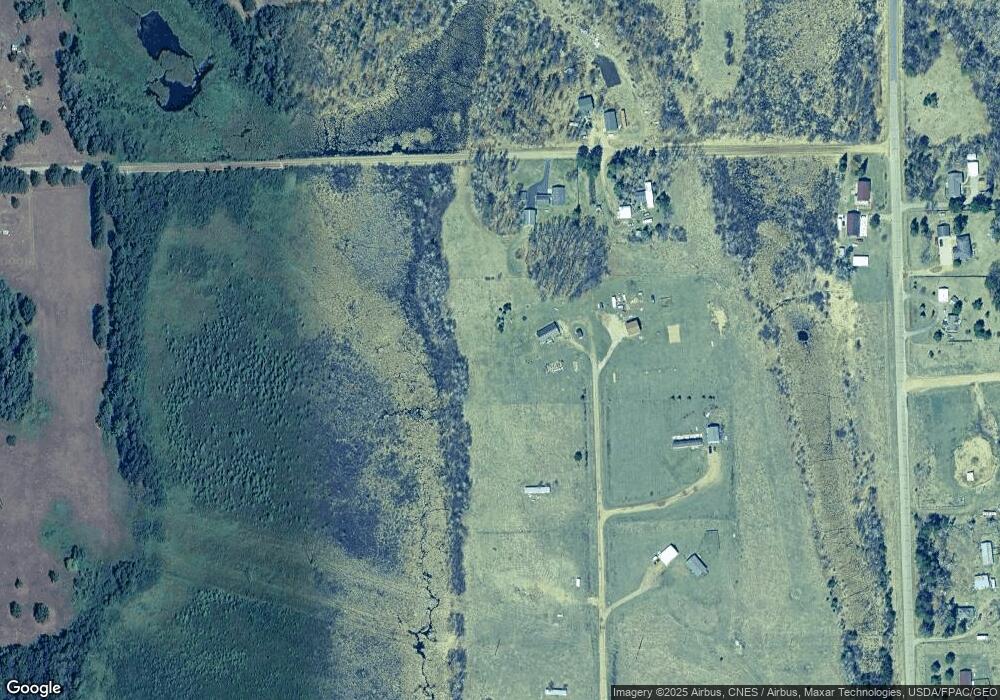
Map
Nearby Homes
- TBD Pillager Creek Trail SW
- 12038 Spring Rd SW
- Parcel 9 Spring Rd
- 4209 State 210 SW
- 4244 Crow Wing Cir SW
- 4224 Crow Wing Cir SW
- L1B2 Dorado Dr N
- 518 1/2 W 4th St S
- TBD W 2nd St
- TBD River St
- 38065 Danberry Trail
- TBD Azalea Rd
- 2630 Zebroski Acres Ln SW
- 2570 130th St SW
- Parcel C 112th St SW
- Parcel B 112th St SW
- Parcel D 112th St SW
- Parcel A 112th St SW
- TBD Gregory Dr SW
- 12639 65th Ave SW
- XXXX Brook Ln
- 4375 Beaver Dam Rd SW
- 4363 Beaver Dam Rd SW
- 12466 Brook Ln
- 12466 Brook Ln SW
- 4364 Beaver Dam Rd SW
- XXX Brook Ln
- 12484 Brook Ln
- 12484 Brook Ln SW
- 12423 43rd Ave SW
- 12423 43rd Ave SW
- 0 Tbd 43rd Ave SW
- TBD 43rd Ave SW
- Tbd** 43rd Ave SW
- Tbd* 43rd Ave SW
- 12430 43rd Ave SW
- 12422 43rd Ave SW
- 12418 43rd Ave SW
- 4297 Pillager Creek Dr
- 12525 Brook Ln SW