1245 Anderson Rd Pittsburgh, PA 15209
Shaler Township NeighborhoodEstimated Value: $366,000 - $532,000
4
Beds
2
Baths
2,819
Sq Ft
$162/Sq Ft
Est. Value
About This Home
This home is located at 1245 Anderson Rd, Pittsburgh, PA 15209 and is currently estimated at $458,025, approximately $162 per square foot. 1245 Anderson Rd is a home located in Allegheny County with nearby schools including Shaler Area Elementary School, Scott Primary School, and Shaler Area Middle School.
Ownership History
Date
Name
Owned For
Owner Type
Purchase Details
Closed on
Jan 28, 2008
Sold by
Schmitt Elaine M
Bought by
Roman Anthony M
Current Estimated Value
Home Financials for this Owner
Home Financials are based on the most recent Mortgage that was taken out on this home.
Original Mortgage
$190,000
Outstanding Balance
$117,698
Interest Rate
5.72%
Mortgage Type
New Conventional
Estimated Equity
$340,327
Purchase Details
Closed on
Mar 21, 1996
Sold by
Schmitt Raymond A and Schmitt Elaine M
Bought by
Schmitt Elaine M
Create a Home Valuation Report for This Property
The Home Valuation Report is an in-depth analysis detailing your home's value as well as a comparison with similar homes in the area
Home Values in the Area
Average Home Value in this Area
Purchase History
| Date | Buyer | Sale Price | Title Company |
|---|---|---|---|
| Roman Anthony M | $250,000 | -- | |
| Schmitt Elaine M | -- | -- |
Source: Public Records
Mortgage History
| Date | Status | Borrower | Loan Amount |
|---|---|---|---|
| Open | Roman Anthony M | $190,000 |
Source: Public Records
Tax History Compared to Growth
Tax History
| Year | Tax Paid | Tax Assessment Tax Assessment Total Assessment is a certain percentage of the fair market value that is determined by local assessors to be the total taxable value of land and additions on the property. | Land | Improvement |
|---|---|---|---|---|
| 2025 | $7,294 | $221,500 | $48,000 | $173,500 |
| 2024 | $7,294 | $221,500 | $48,000 | $173,500 |
| 2023 | $7,033 | $221,500 | $48,000 | $173,500 |
| 2022 | $7,033 | $221,500 | $48,000 | $173,500 |
| 2021 | $7,033 | $221,500 | $48,000 | $173,500 |
| 2020 | $7,033 | $221,500 | $48,000 | $173,500 |
| 2019 | $6,812 | $221,500 | $48,000 | $173,500 |
| 2018 | $6,756 | $221,500 | $48,000 | $173,500 |
| 2017 | $6,596 | $221,500 | $48,000 | $173,500 |
| 2016 | $1,048 | $221,500 | $48,000 | $173,500 |
| 2015 | $1,048 | $221,500 | $48,000 | $173,500 |
| 2014 | $6,326 | $221,500 | $48,000 | $173,500 |
Source: Public Records
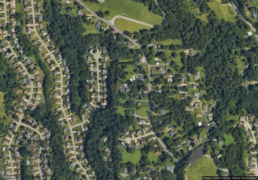
Map
Nearby Homes
- 127 Klir Rd
- 17 Cambria Point St
- 768 Venango Ave
- 770 Venango Ave
- 535 Fieldcrest Dr
- 524 Fieldcrest Dr
- 130 Gerard Dr
- 109 Donald Ave
- 115 Canby Dr
- 1650 Evergreen Ave
- 335 Woodbridge Dr
- 631 Maplewood Ct
- 238 Woodbridge Dr
- 403 Louann St
- 0 William St Unit 1701996
- 1003 Geyer Rd
- 40 Emerson Rd
- 409 Bryn Ct
- 410 Winterset Dr
- 815 Rosemont Ave
- 80 Westminster Place
- 82 Westminster Place
- 84 Westminster Place
- 78 Westminster Place
- 86 Westminster Place
- 76 Westminster Place
- 1251 Anderson Rd
- 1241 Anderson Rd
- 1235 Anderson Rd
- 88 Westminster Place
- 1231 Anderson Rd
- 74 Westminster Place
- 79 Westminster Place
- 83 Westminster Place
- 1255 Anderson Rd
- 1263 Anderson Rd
- 90 Westminster Place
- 81 Westminster Place
- 77 Westminster Place
- 85 Westminster Place