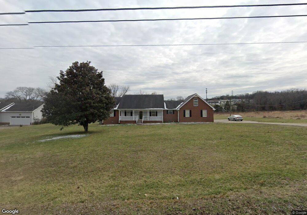
1245 Lowes Ln Goodlettsville, TN 37072
Estimated Value: $455,721 - $500,000
3
Beds
3
Baths
1,948
Sq Ft
$247/Sq Ft
Est. Value
About This Home
This home is located at 1245 Lowes Ln, Goodlettsville, TN 37072 and is currently estimated at $481,180, approximately $247 per square foot. 1245 Lowes Ln is a home located in Davidson County with nearby schools including Old Center Elementary, Goodlettsville Middle School, and Hunters Lane Comprehensive High School.
Ownership History
Date
Name
Owned For
Owner Type
Purchase Details
Closed on
Dec 4, 2009
Sold by
Shrum Jerry and Shrum Joyce
Bought by
Orr Robin D
Current Estimated Value
Home Financials for this Owner
Home Financials are based on the most recent Mortgage that was taken out on this home.
Original Mortgage
$190,976
Outstanding Balance
$125,267
Interest Rate
5.01%
Mortgage Type
FHA
Estimated Equity
$355,913
Purchase Details
Closed on
Sep 25, 1995
Bought by
Kimbrough Dale M
Create a Home Valuation Report for This Property
The Home Valuation Report is an in-depth analysis detailing your home's value as well as a comparison with similar homes in the area
Home Values in the Area
Average Home Value in this Area
Purchase History
| Date | Buyer | Sale Price | Title Company |
|---|---|---|---|
| Orr Robin D | $194,500 | None Available | |
| Kimbrough Dale M | $24,000 | -- |
Source: Public Records
Mortgage History
| Date | Status | Borrower | Loan Amount |
|---|---|---|---|
| Open | Orr Robin D | $190,976 |
Source: Public Records
Tax History Compared to Growth
Tax History
| Year | Tax Paid | Tax Assessment Tax Assessment Total Assessment is a certain percentage of the fair market value that is determined by local assessors to be the total taxable value of land and additions on the property. | Land | Improvement |
|---|---|---|---|---|
| 2024 | $1,980 | $67,750 | $15,700 | $52,050 |
| 2023 | $1,980 | $67,750 | $15,700 | $52,050 |
| 2022 | $1,980 | $67,750 | $15,700 | $52,050 |
| 2021 | $2,001 | $67,750 | $15,700 | $52,050 |
| 2020 | $2,607 | $68,825 | $9,800 | $59,025 |
| 2019 | $1,896 | $68,825 | $9,800 | $59,025 |
| 2018 | $1,896 | $68,825 | $9,800 | $59,025 |
| 2017 | $1,896 | $68,825 | $9,800 | $59,025 |
| 2016 | $1,933 | $49,250 | $10,750 | $38,500 |
| 2015 | $1,933 | $49,250 | $10,750 | $38,500 |
| 2014 | $1,933 | $49,250 | $10,750 | $38,500 |
Source: Public Records
Map
Nearby Homes
- 0 Lowes Ln
- 1332 S Dickerson Rd
- 1295 Campbell Rd
- 1110 Old Dickerson Pike
- 207 Fonnic Dr
- 2021 Creekland View Blvd
- The Stanford Plan at Heritage Creek
- The Heartland Plan at Heritage Creek
- The Winston Plan at Heritage Creek
- The Colburn Plan at Heritage Creek
- The Sutherland Plan at Heritage Creek
- 2584 Misty Creek Ct
- 2846 Misty Creek Ct
- 1765 Misty Creek Ct
- 2269 Misty Creek Ct
- 568 W Campbell Rd
- 324 Mullberry Terrace Unit B
- 326 Mullberry Terrace Unit B
- 326 Mullberry Terrace Unit A
- 4112 Marydale Dr