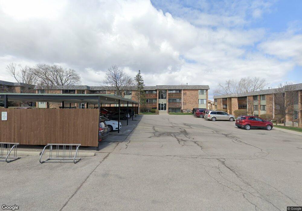
1245 S Maple Rd Unit 205 Ann Arbor, MI 48103
South Maple NeighborhoodEstimated Value: $197,652 - $298,000
2
Beds
2
Baths
1,173
Sq Ft
$194/Sq Ft
Est. Value
About This Home
This home is located at 1245 S Maple Rd Unit 205, Ann Arbor, MI 48103 and is currently estimated at $227,913, approximately $194 per square foot. 1245 S Maple Rd Unit 205 is a home located in Washtenaw County with nearby schools including Dicken Elementary School, Slauson Middle School, and Pioneer High School.
Ownership History
Date
Name
Owned For
Owner Type
Purchase Details
Closed on
Feb 14, 2003
Sold by
Traver Harry and Traver Robert
Bought by
Aslani Kaveh
Current Estimated Value
Home Financials for this Owner
Home Financials are based on the most recent Mortgage that was taken out on this home.
Original Mortgage
$96,000
Outstanding Balance
$38,618
Interest Rate
5.12%
Mortgage Type
Purchase Money Mortgage
Estimated Equity
$189,295
Create a Home Valuation Report for This Property
The Home Valuation Report is an in-depth analysis detailing your home's value as well as a comparison with similar homes in the area
Home Values in the Area
Average Home Value in this Area
Purchase History
| Date | Buyer | Sale Price | Title Company |
|---|---|---|---|
| Aslani Kaveh | $120,000 | -- |
Source: Public Records
Mortgage History
| Date | Status | Borrower | Loan Amount |
|---|---|---|---|
| Open | Aslani Kaveh | $96,000 |
Source: Public Records
Tax History Compared to Growth
Tax History
| Year | Tax Paid | Tax Assessment Tax Assessment Total Assessment is a certain percentage of the fair market value that is determined by local assessors to be the total taxable value of land and additions on the property. | Land | Improvement |
|---|---|---|---|---|
| 2025 | $2,565 | $101,000 | $0 | $0 |
| 2024 | $2,495 | $97,200 | $0 | $0 |
| 2023 | $2,304 | $91,900 | $0 | $0 |
| 2022 | $2,788 | $86,300 | $0 | $0 |
| 2021 | $2,710 | $86,100 | $0 | $0 |
| 2020 | $2,624 | $71,900 | $0 | $0 |
| 2019 | $2,503 | $61,400 | $61,400 | $0 |
| 2018 | $2,456 | $54,400 | $0 | $0 |
| 2017 | $2,369 | $54,200 | $0 | $0 |
| 2016 | $1,844 | $37,316 | $0 | $0 |
| 2015 | $2,214 | $37,205 | $0 | $0 |
| 2014 | $2,214 | $36,044 | $0 | $0 |
| 2013 | -- | $36,044 | $0 | $0 |
Source: Public Records
Map
Nearby Homes
- 1235 S Maple Rd Unit 101
- 1235 S Maple Rd Unit 302
- 1225 S Maple Rd Unit 307
- 1265 S Maple Rd Unit 207
- 2120 Pauline Blvd Unit 305
- 2124 Pauline Blvd Unit 307
- 2126 Pauline Blvd Unit 104
- 2155 Pauline Ct
- 2127 Pauline Ct
- 2066 Norfolk St
- 1041 E Summerfield Glen Cir
- 921 E Summerfield Glen Cir Unit 29
- 1008 W Summerfield Glen Cir
- 922 W Summerfield Glen Cir Unit 110
- 2564 W Towne St
- 1836 Virnankay Cir
- 1599 Scio Ridge Rd
- 570 S Maple Rd
- 1343 Timmins Dr Unit 8
- 531 Liberty Pointe Dr Unit 68
- 1245 S Maple Rd Unit 308
- 1245 S Maple Rd Unit 305
- 1245 S Maple Rd Unit 208
- 1245 S Maple Rd Unit 107
- 1245 S Maple Rd Unit 105
- 1245 S Maple Rd Unit 307
- 1245 S Maple Rd Unit 306
- 1245 S Maple Rd Unit 106
- 1245 S Maple Rd Unit 207
- 1245 S Maple Rd Unit 206
- 1245 S Maple Rd
- 1255 S Maple Rd Unit 103
- 1255 S Maple Rd Unit 204
- 1255 S Maple Rd Unit 301
- 1255 S Maple Rd Unit 304
- 1255 S Maple Rd Unit 303
- 1255 S Maple Rd Unit 302
- 1255 S Maple Rd Unit 102
- 1255 S Maple Rd Unit 101
- 1255 S Maple Rd Unit 203