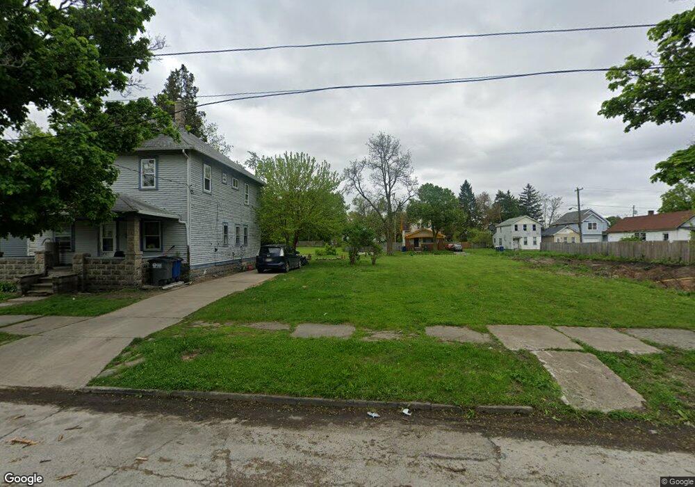
1245 Vance St Toledo, OH 43607
ONYX NeighborhoodEstimated Value: $66,000
2
Beds
1
Bath
908
Sq Ft
$73/Sq Ft
Est. Value
About This Home
This home is located at 1245 Vance St, Toledo, OH 43607 and is currently priced at $66,000, approximately $72 per square foot. 1245 Vance St is a home located in Lucas County with nearby schools including Pickett Elementary School, Jesup W. Scott High School, and Summit Academy - Toledo.
Ownership History
Date
Name
Owned For
Owner Type
Purchase Details
Closed on
Mar 21, 2025
Sold by
Lucas County Land Reutilization Corporat
Bought by
City Of Toledo
Current Estimated Value
Purchase Details
Closed on
Jun 7, 2024
Sold by
Lucas County Sheriff
Bought by
Lucas County Land Reutilization Corporation
Purchase Details
Closed on
Jun 1, 2007
Sold by
Thomas Barbara L
Bought by
Gaunt Kevin C
Purchase Details
Closed on
Dec 11, 2006
Sold by
Gray William and Kapszukiewicz Wade
Bought by
Thomas Barbara L and Gaunt Kevin C
Purchase Details
Closed on
Jul 11, 1990
Sold by
Rudolph Roosevelt
Create a Home Valuation Report for This Property
The Home Valuation Report is an in-depth analysis detailing your home's value as well as a comparison with similar homes in the area
Home Values in the Area
Average Home Value in this Area
Purchase History
| Date | Buyer | Sale Price | Title Company |
|---|---|---|---|
| City Of Toledo | -- | None Listed On Document | |
| Lucas County Land Reutilization Corporation | -- | None Listed On Document | |
| Gaunt Kevin C | -- | Attorney | |
| Thomas Barbara L | $200 | None Available | |
| -- | $4,000 | -- |
Source: Public Records
Tax History Compared to Growth
Tax History
| Year | Tax Paid | Tax Assessment Tax Assessment Total Assessment is a certain percentage of the fair market value that is determined by local assessors to be the total taxable value of land and additions on the property. | Land | Improvement |
|---|---|---|---|---|
| 2024 | -- | $140 | $140 | -- |
| 2023 | $154 | $105 | $105 | $0 |
| 2022 | $158 | $105 | $105 | $0 |
| 2021 | $150 | $105 | $105 | $0 |
| 2020 | $177 | $105 | $105 | $0 |
| 2019 | $161 | $105 | $105 | $0 |
| 2018 | $180 | $105 | $105 | $0 |
| 2017 | $1,629 | $105 | $105 | $0 |
| 2016 | $1,297 | $300 | $300 | $0 |
| 2015 | $188 | $300 | $300 | $0 |
| 2014 | $11 | $110 | $110 | $0 |
| 2013 | $7 | $110 | $110 | $0 |
Source: Public Records
Map
Nearby Homes
- 1255 Nebraska Ave
- 1267 Nebraska Ave
- 1133 Blum St
- 1434 Nebraska Ave
- 1422 Tecumseh St
- 1123 Hamilton St
- 834 N Detroit Ave
- 901 N Detroit Ave
- 1518 Buckingham St
- 910 Blum St
- 635 N Detroit Ave
- 820 N Miller St
- 1264 Fernwood Ave
- 71 Wellington St
- 109 Wellington St
- 1063 Norwood Ave
- 1627 Fernwood Ave
- 1119 Lincoln Ave
- 929 Norwood Ave
- 927 Norwood Ave