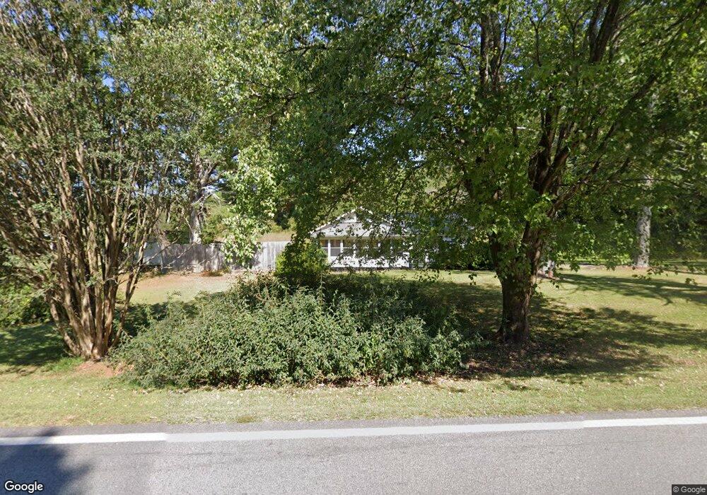
1246 Asbestos Rd Sautee Nacoochee, GA 30571
Estimated Value: $267,215 - $307,000
3
Beds
1
Bath
1,108
Sq Ft
$255/Sq Ft
Est. Value
About This Home
This home is located at 1246 Asbestos Rd, Sautee Nacoochee, GA 30571 and is currently estimated at $282,054, approximately $254 per square foot. 1246 Asbestos Rd is a home located in White County with nearby schools including Mount Yonah Elementary School, White County 9th Grade Academy, and White County Middle School.
Ownership History
Date
Name
Owned For
Owner Type
Purchase Details
Closed on
Sep 29, 2017
Sold by
Jeff S Cathey
Bought by
Tonogan William and Tonogan Iris
Current Estimated Value
Home Financials for this Owner
Home Financials are based on the most recent Mortgage that was taken out on this home.
Original Mortgage
$90,811
Outstanding Balance
$75,691
Interest Rate
3.83%
Estimated Equity
$206,363
Purchase Details
Closed on
Jul 26, 2016
Sold by
Cathey Jeff S
Bought by
Tonogan William and Tonogan Elizabeth
Purchase Details
Closed on
Feb 6, 1995
Sold by
Cathey Doris Ruth
Bought by
Cathey Jeff
Create a Home Valuation Report for This Property
The Home Valuation Report is an in-depth analysis detailing your home's value as well as a comparison with similar homes in the area
Home Values in the Area
Average Home Value in this Area
Purchase History
| Date | Buyer | Sale Price | Title Company |
|---|---|---|---|
| Tonogan William | $105,000 | -- | |
| Tonogan William | $105,000 | -- | |
| Cathey Jeff | -- | -- |
Source: Public Records
Mortgage History
| Date | Status | Borrower | Loan Amount |
|---|---|---|---|
| Open | Tonogan William | $90,811 | |
| Closed | Tonogan William | -- |
Source: Public Records
Tax History Compared to Growth
Tax History
| Year | Tax Paid | Tax Assessment Tax Assessment Total Assessment is a certain percentage of the fair market value that is determined by local assessors to be the total taxable value of land and additions on the property. | Land | Improvement |
|---|---|---|---|---|
| 2025 | $1,368 | $71,120 | $21,744 | $49,376 |
| 2024 | $1,368 | $65,684 | $16,308 | $49,376 |
| 2023 | $1,309 | $57,736 | $14,496 | $43,240 |
| 2022 | $1,212 | $51,080 | $13,588 | $37,492 |
| 2021 | $1,105 | $41,204 | $10,772 | $30,432 |
| 2020 | $1,061 | $37,696 | $10,056 | $27,640 |
| 2019 | $1,064 | $37,696 | $10,056 | $27,640 |
| 2018 | $1,064 | $37,696 | $10,056 | $27,640 |
| 2017 | $842 | $30,100 | $10,056 | $20,044 |
| 2016 | $842 | $30,100 | $10,056 | $20,044 |
| 2015 | $739 | $69,170 | $9,336 | $18,332 |
| 2014 | $697 | $65,150 | $0 | $0 |
Source: Public Records
Map
Nearby Homes
- 0 Sassafrass Ridge Dr Unit 10516590
- 1698 Joe Black Rd
- 142 Smokerise Dr
- 4092 Helen Hwy
- 387 Smokerise Dr
- 0 Thurmond Rd Unit 10620543
- 0 Thurmond Rd Unit 7662120
- 42 Nomad Trail
- 68 Nomad Trail
- 16 Dutchman Way
- 4 Fleetwood
- 4 Fleetwood Unit 502
- 105 Holiday Loop
- 603 Yonah Mountain Rd
- 406 Yonah Mountain Rd
- 0 Yonah Mountain Rd Unit 10631834
- 0 Yonah Mountain Rd Unit 7661561
- 68 Stag Leap Dr
- 27 Six Point Trail
- 43 Wapiti Ln
- 69 Sassafrass Ridge Rd
- 69 Sassafrass Ridge Rd
- 1147 Joe Black Rd
- 1029 Todds Walk
- 123 Sassafrass Ridge Rd
- 8 Sassafrass Ridge Rd
- 0 Joe Black Rd Unit L-2 7311333
- 0 Joe Black Rd Unit L-1 7311326
- 1774 Joe Black Rd
- 1366 Joe Black Rd
- 0 Sassafras Ridge Unit 1 3019214
- 0 Sassafras Ridge Unit 1 7461917
- 21 Sassafrass Ridge Rd
- 1700 Joe Black Rd
- 0 Sassafrass Ridge Unit Lot 5 8310776
- 85 Christians Ct
- 90 Christians Ct
- 88 Christians Ct
- 0 Sassafrass Ridge Dr Unit 6&7 8111787
- Lot 9 Sassafras Ridge Dr