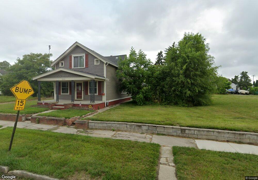
1246 Avondale Ave Toledo, OH 43607
ONYX NeighborhoodEstimated Value: $11,116 - $76,000
2
Beds
1
Bath
816
Sq Ft
$49/Sq Ft
Est. Value
About This Home
This home is located at 1246 Avondale Ave, Toledo, OH 43607 and is currently estimated at $39,779, approximately $48 per square foot. 1246 Avondale Ave is a home located in Lucas County with nearby schools including Pickett Elementary School, Jesup W. Scott High School, and Explorers Academy.
Ownership History
Date
Name
Owned For
Owner Type
Purchase Details
Closed on
Sep 28, 2023
Sold by
Mosley Laverne
Bought by
Battle Land and Battle Gerald
Current Estimated Value
Purchase Details
Closed on
Apr 19, 2010
Sold by
Plymouth Park Services Llc
Bought by
Mosley Lavern
Purchase Details
Closed on
Jun 15, 2009
Sold by
Battle Land C
Bought by
Plymouth Park Tax Services Llc
Purchase Details
Closed on
Mar 28, 2003
Sold by
Granberry William G and Greenberry Rosie L
Bought by
Battle Land C
Create a Home Valuation Report for This Property
The Home Valuation Report is an in-depth analysis detailing your home's value as well as a comparison with similar homes in the area
Home Values in the Area
Average Home Value in this Area
Purchase History
| Date | Buyer | Sale Price | Title Company |
|---|---|---|---|
| Battle Land | $300 | None Listed On Document | |
| Mosley Lavern | $5,000 | Chicago Title Insurance Co | |
| Plymouth Park Tax Services Llc | $4,021 | Public Square Title Agency | |
| Battle Land C | $5,000 | -- |
Source: Public Records
Tax History Compared to Growth
Tax History
| Year | Tax Paid | Tax Assessment Tax Assessment Total Assessment is a certain percentage of the fair market value that is determined by local assessors to be the total taxable value of land and additions on the property. | Land | Improvement |
|---|---|---|---|---|
| 2024 | $306 | $175 | $175 | -- |
| 2023 | $133 | $105 | $105 | $0 |
| 2022 | $139 | $105 | $105 | $0 |
| 2021 | $128 | $105 | $105 | $0 |
| 2020 | $134 | $105 | $105 | $0 |
| 2019 | $139 | $105 | $105 | $0 |
| 2018 | $133 | $105 | $105 | $0 |
| 2017 | $143 | $105 | $105 | $0 |
| 2016 | $139 | $300 | $300 | $0 |
| 2015 | $136 | $300 | $300 | $0 |
| 2014 | $7 | $110 | $110 | $0 |
| 2013 | $7 | $110 | $110 | $0 |
Source: Public Records
Map
Nearby Homes
- 834 N Detroit Ave
- 1133 Blum St
- 901 N Detroit Ave
- 1255 Nebraska Ave
- 1267 Nebraska Ave
- 1264 Fernwood Ave
- 1434 Nebraska Ave
- 1422 Tecumseh St
- 1063 Norwood Ave
- 1627 Fernwood Ave
- 1123 Hamilton St
- 635 N Detroit Ave
- 910 Blum St
- 820 N Miller St
- 1222 Lincoln Ave
- 1401 Foster Ave
- 929 Norwood Ave
- 927 Norwood Ave
- 1510 Lincoln Ave
- 1163 W Woodruff Ave
- 1244 Avondale Ave
- 1248 Avondale Ave
- 1252 Avondale Ave
- 1242 Avondale Ave
- 908 Heston St
- 1232 Avondale Ave
- 906 Heston St
- 914 Heston St
- 1241 Avondale Ave
- 916 Heston St
- 1230 Avondale Ave
- 1253 Indiana Ave
- 1251 Indiana Ave
- 1255 Indiana Ave
- 1247 Indiana Ave
- 1259 Indiana Ave
- 1243 Indiana Ave
- 1247 Avondale Ave
- 1249 Avondale Ave
- 1243 Avondale Ave