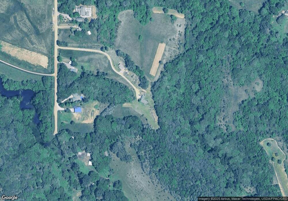
1246 Benton Ave Sioux City, IA 51108
Estimated Value: $173,000 - $323,000
3
Beds
2
Baths
1,404
Sq Ft
$163/Sq Ft
Est. Value
About This Home
This home is located at 1246 Benton Ave, Sioux City, IA 51108 and is currently estimated at $228,987, approximately $163 per square foot. 1246 Benton Ave is a home located in Woodbury County with nearby schools including Unity Elementary School, East Middle School, and East High School.
Ownership History
Date
Name
Owned For
Owner Type
Purchase Details
Closed on
Nov 19, 2014
Sold by
Pelchat Modene F
Bought by
Hirst Jeffrey M and Hirst Kathie S
Current Estimated Value
Home Financials for this Owner
Home Financials are based on the most recent Mortgage that was taken out on this home.
Original Mortgage
$89,100
Outstanding Balance
$68,178
Interest Rate
3.97%
Mortgage Type
New Conventional
Estimated Equity
$160,809
Purchase Details
Closed on
Oct 28, 2014
Sold by
The Bank Of New York Mellon
Bought by
Hirst Jeffrey M and Hirst Kathie S
Home Financials for this Owner
Home Financials are based on the most recent Mortgage that was taken out on this home.
Original Mortgage
$89,100
Outstanding Balance
$68,178
Interest Rate
3.97%
Mortgage Type
New Conventional
Estimated Equity
$160,809
Create a Home Valuation Report for This Property
The Home Valuation Report is an in-depth analysis detailing your home's value as well as a comparison with similar homes in the area
Home Values in the Area
Average Home Value in this Area
Purchase History
| Date | Buyer | Sale Price | Title Company |
|---|---|---|---|
| Hirst Jeffrey M | -- | None Available | |
| Hirst Jeffrey M | $111,500 | None Available |
Source: Public Records
Mortgage History
| Date | Status | Borrower | Loan Amount |
|---|---|---|---|
| Open | Hirst Jeffrey M | $89,100 | |
| Previous Owner | Hirst Jeffrey M | $89,100 |
Source: Public Records
Tax History Compared to Growth
Tax History
| Year | Tax Paid | Tax Assessment Tax Assessment Total Assessment is a certain percentage of the fair market value that is determined by local assessors to be the total taxable value of land and additions on the property. | Land | Improvement |
|---|---|---|---|---|
| 2025 | $1,082 | $145,040 | $48,000 | $97,040 |
| 2024 | $1,082 | $115,040 | $31,500 | $83,540 |
| 2023 | $1,212 | $115,040 | $31,500 | $83,540 |
| 2022 | $1,182 | $101,470 | $31,500 | $69,970 |
| 2021 | $1,182 | $100,230 | $31,500 | $68,730 |
| 2020 | $1,736 | $134,620 | $33,710 | $100,910 |
| 2019 | $1,714 | $134,620 | $33,710 | $100,910 |
| 2018 | $1,666 | $120,170 | $19,260 | $100,910 |
| 2017 | $1,666 | $120,170 | $19,260 | $100,910 |
| 2016 | $1,592 | $111,400 | $0 | $0 |
| 2015 | $1,646 | $104,110 | $18,000 | $86,110 |
| 2014 | -- | $104,110 | $18,000 | $86,110 |
Source: Public Records
Map
Nearby Homes
- 3700 28th St Unit 335
- 4509 Floyd Blvd
- 4501 46th St
- 4530 Grant St
- 4208 Tyler St
- 4205 Tyler St
- 4107 Central St
- TBD Outer Dr N
- 4027 Van Buren St
- 4629 Fillmore St
- 4607 Polk St
- 25228 Corwin Ct
- 4200 Outer Dr
- 5700 Outer Dr
- 4510 Van Buren St
- 4919 Cleveland St
- 4724 Harrison St
- 3221 11th St
- 2730 Bings Ct
- 2518 Apache Dr
- 1246 Benton Ave
- 1234 Benton Ave
- 1252 Benton Ave
- 1276 Benton Ave
- 1248 Benton Ave
- 1248 Benton Ave
- 1228 Benton Ave
- 1220 Benton Ave
- 1235 Buchanan Ave
- 1249 Buchanan Ave
- 1257 Buchanan Ave
- 1239 Buchanan Ave
- 1233 Buchanan Ave
- 1237 Buchanan Ave
- 1263 Buchanan Ave
- 1210 Benton Ave
- 1245 Buchanan Ave
- 1243 Buchanan Ave
- 1476 120th St
- 1498 120th St
