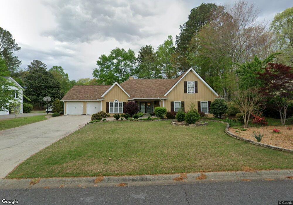
1246 Wynford Colony SW Unit 1 Marietta, GA 30064
West Cobb NeighborhoodEstimated Value: $445,000 - $478,000
5
Beds
3
Baths
2,428
Sq Ft
$191/Sq Ft
Est. Value
About This Home
This home is located at 1246 Wynford Colony SW Unit 1, Marietta, GA 30064 and is currently estimated at $464,207, approximately $191 per square foot. 1246 Wynford Colony SW Unit 1 is a home located in Cobb County with nearby schools including Dowell Elementary School, Lovinggood Middle School, and Hillgrove High School.
Ownership History
Date
Name
Owned For
Owner Type
Purchase Details
Closed on
Jan 22, 2024
Sold by
Revocable Trust
Bought by
Rittiner Victoria and Rittiner David
Current Estimated Value
Purchase Details
Closed on
Apr 6, 2023
Sold by
Crooks Oakey Joe
Bought by
Revocable Trust
Purchase Details
Closed on
Aug 15, 1997
Sold by
Bogucki Gregg R and Bogucki Barbara C
Bought by
Crooks Oakley J
Home Financials for this Owner
Home Financials are based on the most recent Mortgage that was taken out on this home.
Original Mortgage
$129,000
Interest Rate
7.46%
Mortgage Type
New Conventional
Create a Home Valuation Report for This Property
The Home Valuation Report is an in-depth analysis detailing your home's value as well as a comparison with similar homes in the area
Home Values in the Area
Average Home Value in this Area
Purchase History
| Date | Buyer | Sale Price | Title Company |
|---|---|---|---|
| Rittiner Victoria | -- | None Listed On Document | |
| Revocable Trust | -- | None Listed On Document | |
| Crooks Oakley J | $135,800 | -- |
Source: Public Records
Mortgage History
| Date | Status | Borrower | Loan Amount |
|---|---|---|---|
| Previous Owner | Crooks Oakley J | $129,000 |
Source: Public Records
Tax History Compared to Growth
Tax History
| Year | Tax Paid | Tax Assessment Tax Assessment Total Assessment is a certain percentage of the fair market value that is determined by local assessors to be the total taxable value of land and additions on the property. | Land | Improvement |
|---|---|---|---|---|
| 2024 | $1,841 | $174,708 | $34,000 | $140,708 |
| 2023 | $2,888 | $165,832 | $34,000 | $131,832 |
| 2022 | $2,536 | $123,656 | $26,000 | $97,656 |
| 2021 | $2,314 | $113,524 | $21,600 | $91,924 |
| 2020 | $2,000 | $99,200 | $21,600 | $77,600 |
| 2019 | $2,000 | $99,200 | $21,600 | $77,600 |
| 2018 | $2,114 | $104,404 | $21,600 | $82,804 |
| 2017 | $1,605 | $83,684 | $21,600 | $62,084 |
| 2016 | $1,607 | $83,684 | $21,600 | $62,084 |
| 2015 | $1,360 | $71,128 | $21,660 | $49,468 |
| 2014 | $1,371 | $71,128 | $0 | $0 |
Source: Public Records
Map
Nearby Homes
- 1234 Wynford Colony SW
- 1518 Sage Ridge Dr
- 2866 Wynford Dr SW Unit 2
- 3006 Coffman Ct SW
- 1237 Wynford Woods SW
- 1567 Vine Leaf Dr
- 1209 Wilkes Way SW Unit 1
- 1765 Dew Place
- 3001 Ashland Ct SW
- 2673 Altony Dr SW
- 1311 Bustling Ln SW
- 1313 Bustling Ln SW
- 3416 N Cook Rd
- 3354 Hannah Ct
- 1204 Commonwealth Ave SW
- 1004 Villa Rica Rd SW
- 2418 Southern Oak Dr SW
- 1884 Dovonshire Rd SW
- 1853 Edington Rd SW
- 1244 Wynford Colony SW Unit I
- 1248 Wynford Colony SW Unit 1
- 2714 Wynford Ave SW
- 1242 Wynford Colony SW
- 1250 Wynford Colony SW
- 1247 Wynford Colony SW
- 2718 Wynford Ave SW
- 1245 Wynford Colony SW
- 2712 Wynford Ave SW
- 1249 Wynford Colony SW Unit 1
- 0 Wynford Avenue South W
- 1243 Wynford Colony SW
- 2720 Wynford Ave SW
- 2720 Wynford Avenue South W Unit 2720
- 1251 Wynford Colony SW
- 1252 Wynford Colony SW
- 1240 Wynford Colony SW
- 1241R Wynford Colony SW
- 1241 Wynford Colony SW
- 2711 Wynford Ave SW