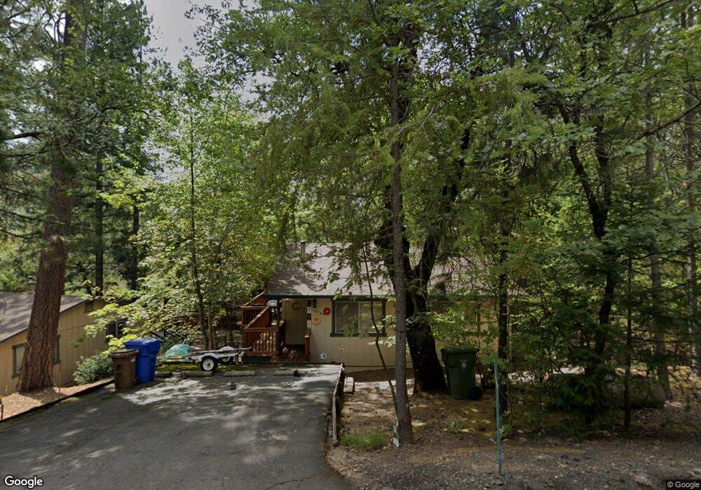
12469 Black Oak Dr Middletown, CA 95461
Estimated Value: $206,312 - $336,000
2
Beds
1
Bath
1,020
Sq Ft
$272/Sq Ft
Est. Value
About This Home
This home is located at 12469 Black Oak Dr, Middletown, CA 95461 and is currently estimated at $277,078, approximately $271 per square foot. 12469 Black Oak Dr is a home with nearby schools including Riviera Elementary School, Mountain Vista Middle School, and Kelseyville High School.
Ownership History
Date
Name
Owned For
Owner Type
Purchase Details
Closed on
Oct 25, 2016
Sold by
Dorn Dennis P and Dorn Carla J
Bought by
Dorn Dennis P and Dorn Carla J
Current Estimated Value
Purchase Details
Closed on
Mar 28, 2014
Sold by
Sartor Lisa Christine Nardi and Sartor Andre Edward
Bought by
Dorn Dennis P and Dorn Carla J
Purchase Details
Closed on
Jun 29, 2004
Sold by
Nardi Lisa Christine and Sartor Andre Edward
Bought by
Nardi Lisa Christine and Sartor Andre Edward
Purchase Details
Closed on
Jun 18, 2004
Sold by
Nardi Lisa
Bought by
Nardi Lisa Christine and Sartor Andre Edward
Create a Home Valuation Report for This Property
The Home Valuation Report is an in-depth analysis detailing your home's value as well as a comparison with similar homes in the area
Home Values in the Area
Average Home Value in this Area
Purchase History
| Date | Buyer | Sale Price | Title Company |
|---|---|---|---|
| Dorn Dennis P | -- | None Available | |
| Dorn Dennis P | $127,000 | Old Republic Title Company | |
| Nardi Lisa Christine | -- | -- | |
| Nardi Lisa Christine | -- | -- |
Source: Public Records
Tax History Compared to Growth
Tax History
| Year | Tax Paid | Tax Assessment Tax Assessment Total Assessment is a certain percentage of the fair market value that is determined by local assessors to be the total taxable value of land and additions on the property. | Land | Improvement |
|---|---|---|---|---|
| 2024 | $1,875 | $149,635 | $23,562 | $126,073 |
| 2023 | $1,850 | $146,701 | $23,100 | $123,601 |
| 2022 | $1,792 | $143,826 | $22,648 | $121,178 |
| 2021 | $1,763 | $141,006 | $22,204 | $118,802 |
| 2020 | $1,735 | $139,561 | $21,977 | $117,584 |
| 2019 | $1,707 | $136,826 | $21,547 | $115,279 |
| 2018 | $1,524 | $134,144 | $21,125 | $113,019 |
| 2017 | $1,502 | $131,514 | $20,711 | $110,803 |
| 2016 | $1,474 | $128,936 | $20,305 | $108,631 |
| 2015 | -- | $94,559 | $26,083 | $68,476 |
| 2014 | -- | $92,708 | $25,573 | $67,135 |
Source: Public Records
Map
Nearby Homes
- 12378 Black Oak Dr
- 10311 Redwood Rd
- 12137 Black Oak Dr
- 10354 Mulberry St
- 10466 Redwood Rd
- 10787 Foothill Rd
- 11260 Loch Lomond Rd
- 11256 Loch Lomond Rd
- 9634 Palmer Ct
- 13545 Casale Dr
- 14000 Nelson Ln
- 9680 Harrington Flat Rd
- 10899 Highway 175
- 11575 Loch Lomond Rd
- 14533 Snead Dr
- 10536 Highway 175
- 14461 Snead Dr
- 9356 Rockys Rd
- 10512 Rosa Trail
- 9781 Venturi Dr
- 12485 Black Oak Dr
- 12510 Western Pine Rd
- 12462 Western Pine Rd
- 12413 Black Oak Dr
- 12428 Western Pine Rd
- 12428 Western Pine Rd
- 12456 Red Fir Rd
- 12390 Western Pine Rd
- 12378 Black Oak Rd
- 12530 Maple Ln
- 12492 Fir St
- 12377 Black Oak Dr
- 12378 Western Pine Rd
- 12542 Maple Ln
- 12498 Black Oak Dr
- 12361 Black Oak Dr
- 12550 Maple Ln
- 12350 Western Pine Rd
- 12350 Western Pine Rd
- 12335 Black Oak Dr