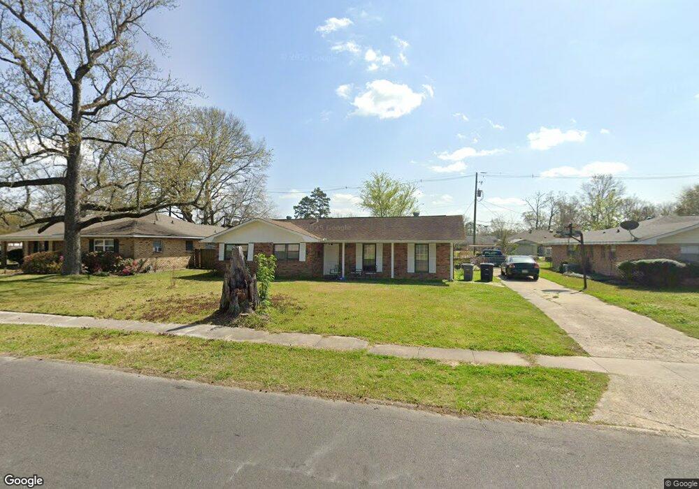
12472 E Glenhaven Dr Baton Rouge, LA 70815
Broadmoor/Sherwood NeighborhoodEstimated Value: $235,000 - $259,000
4
Beds
2
Baths
2,391
Sq Ft
$104/Sq Ft
Est. Value
About This Home
This home is located at 12472 E Glenhaven Dr, Baton Rouge, LA 70815 and is currently estimated at $247,602, approximately $103 per square foot. 12472 E Glenhaven Dr is a home located in East Baton Rouge Parish with nearby schools including Twin Oaks Elementary School, Southeast Middle School, and Broadmoor Senior High School.
Ownership History
Date
Name
Owned For
Owner Type
Purchase Details
Closed on
Aug 29, 2022
Sold by
Emc Mortgage Llc
Bought by
Pate Gloria D
Current Estimated Value
Purchase Details
Closed on
Aug 26, 2022
Sold by
Emc Mortgage Llc
Bought by
Pate Gloria D
Purchase Details
Closed on
Jun 4, 1998
Sold by
Jorgensen Hankenhof Hankenhof Patrick Joseph
Bought by
Mulkey Terry Louis and Mulkey Mae Dean
Home Financials for this Owner
Home Financials are based on the most recent Mortgage that was taken out on this home.
Original Mortgage
$96,900
Interest Rate
7.2%
Create a Home Valuation Report for This Property
The Home Valuation Report is an in-depth analysis detailing your home's value as well as a comparison with similar homes in the area
Home Values in the Area
Average Home Value in this Area
Purchase History
| Date | Buyer | Sale Price | Title Company |
|---|---|---|---|
| Pate Gloria D | -- | None Listed On Document | |
| Pate Gloria D | -- | None Listed On Document | |
| Mulkey Terry Louis | $106,900 | -- |
Source: Public Records
Mortgage History
| Date | Status | Borrower | Loan Amount |
|---|---|---|---|
| Previous Owner | Mulkey Terry Louis | $96,900 |
Source: Public Records
Tax History
| Year | Tax Paid | Tax Assessment Tax Assessment Total Assessment is a certain percentage of the fair market value that is determined by local assessors to be the total taxable value of land and additions on the property. | Land | Improvement |
|---|---|---|---|---|
| 2024 | $2,033 | $22,373 | $2,000 | $20,373 |
| 2023 | $1,907 | $18,840 | $2,000 | $16,840 |
| 2022 | $2,325 | $18,840 | $2,000 | $16,840 |
| 2021 | $2,273 | $18,840 | $2,000 | $16,840 |
| 2020 | $2,300 | $18,840 | $2,000 | $16,840 |
| 2019 | $2,354 | $18,450 | $2,000 | $16,450 |
| 2018 | $2,326 | $18,450 | $2,000 | $16,450 |
| 2017 | $990 | $7,500 | $2,000 | $5,500 |
| 2016 | $790 | $12,693 | $2,000 | $10,693 |
| 2015 | $1,479 | $18,450 | $2,000 | $16,450 |
| 2014 | $1,474 | $18,450 | $2,000 | $16,450 |
| 2013 | -- | $18,450 | $2,000 | $16,450 |
Source: Public Records
Map
Nearby Homes
- 444 S Locksley Dr
- 425 Wingate Dr
- 454 Wingate Dr
- 12379 Fairhaven Dr
- 12651 Parnell Ave
- 364 Wingate Dr
- 381 Shadydale Dr
- 12069 E Glenhaven Dr
- 12532 Archery Dr
- 12384 Goodwood Blvd
- 633 Woodcliff Dr
- 323 Little John Dr
- 12275 E Sheraton Ave
- 11725 Glenhaven Dr
- 12679 E Sheraton Ave
- 13218 Wenham Ave
- 13212 Avants Ave
- 1346 Havenwood Dr
- 13343 E Parnell Ave
- 11625 Archery Dr
- 12456 E Glenhaven Dr
- 12456 E Glenhaven Dr
- 12490 E Glenhaven Dr
- 12373 Mollylea Dr
- 12438 E Glenhaven Dr
- 12363 Mollylea Dr
- 12383 Mollylea Dr
- 0 E Glenhaven Dr
- 12473 E Glenhaven Dr
- 12455 E Glenhaven Dr
- 12491 E Glenhaven Dr
- 12353 Mollylea Dr
- 12424 E Glenhaven Dr
- 12439 E Glenhaven Dr
- 521 Stockton Dr
- 507 Stockton Dr
- 493 Stockton Dr
- 12425 Mollylea Dr
- 12425 E Glenhaven Dr
- 12410 E Glenhaven Dr
Your Personal Tour Guide
Ask me questions while you tour the home.