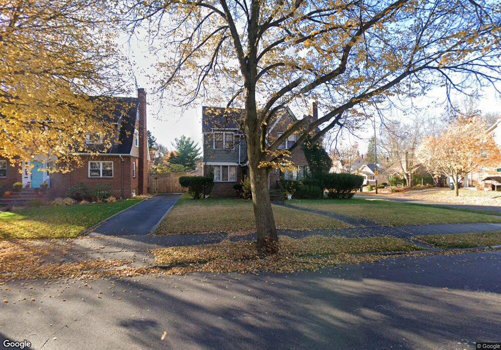
1248 Delia Ave Akron, OH 44320
West Akron NeighborhoodEstimated Value: $138,000 - $259,000
4
Beds
3
Baths
2,256
Sq Ft
$95/Sq Ft
Est. Value
About This Home
This home is located at 1248 Delia Ave, Akron, OH 44320 and is currently estimated at $214,267, approximately $94 per square foot. 1248 Delia Ave is a home located in Summit County with nearby schools including Summit Academy School, Our Lady Of The Elms Elementary School, and Julie Billiart School Akron.
Ownership History
Date
Name
Owned For
Owner Type
Purchase Details
Closed on
Dec 12, 2002
Sold by
Swoope Sojourner Jeannette and Swoope Charlotte L
Bought by
Wade Donald P
Current Estimated Value
Home Financials for this Owner
Home Financials are based on the most recent Mortgage that was taken out on this home.
Original Mortgage
$60,200
Outstanding Balance
$25,430
Interest Rate
6.01%
Estimated Equity
$188,837
Purchase Details
Closed on
Nov 12, 1997
Sold by
Tms Mortgage Inc
Bought by
Sojourner Jeannette
Home Financials for this Owner
Home Financials are based on the most recent Mortgage that was taken out on this home.
Original Mortgage
$54,900
Interest Rate
7.43%
Mortgage Type
New Conventional
Purchase Details
Closed on
Jun 6, 1997
Sold by
Carter Denise
Bought by
Tms Mortgage Inc
Create a Home Valuation Report for This Property
The Home Valuation Report is an in-depth analysis detailing your home's value as well as a comparison with similar homes in the area
Home Values in the Area
Average Home Value in this Area
Purchase History
| Date | Buyer | Sale Price | Title Company |
|---|---|---|---|
| Wade Donald P | $75,250 | Cathcor Title Agency Inc | |
| Sojourner Jeannette | $61,000 | -- | |
| Tms Mortgage Inc | $60,000 | -- |
Source: Public Records
Mortgage History
| Date | Status | Borrower | Loan Amount |
|---|---|---|---|
| Open | Wade Donald P | $60,200 | |
| Previous Owner | Sojourner Jeannette | $54,900 |
Source: Public Records
Tax History Compared to Growth
Tax History
| Year | Tax Paid | Tax Assessment Tax Assessment Total Assessment is a certain percentage of the fair market value that is determined by local assessors to be the total taxable value of land and additions on the property. | Land | Improvement |
|---|---|---|---|---|
| 2025 | $3,360 | $54,551 | $12,754 | $41,797 |
| 2024 | $3,360 | $54,551 | $12,754 | $41,797 |
| 2023 | $3,360 | $54,551 | $12,754 | $41,797 |
| 2022 | $2,957 | $36,859 | $8,617 | $28,242 |
| 2021 | $2,960 | $36,859 | $8,617 | $28,242 |
| 2020 | $2,922 | $36,860 | $8,620 | $28,240 |
| 2019 | $3,136 | $37,120 | $10,010 | $27,110 |
| 2018 | $3,121 | $37,120 | $10,010 | $27,110 |
| 2017 | $2,757 | $37,120 | $10,010 | $27,110 |
| 2016 | $2,759 | $32,390 | $10,010 | $22,380 |
| 2015 | $2,757 | $32,390 | $10,010 | $22,380 |
| 2014 | $4,339 | $32,390 | $10,010 | $22,380 |
| 2013 | $2,734 | $33,040 | $10,010 | $23,030 |
Source: Public Records
Map
Nearby Homes
- 419 Dorchester Rd
- 589 Glendora Ave
- 405 Mineola Ave
- 601 Glendora Ave
- 571 Crestview Ave
- S/L 12 W Sunrise View Dr
- 560 Mineola Ave
- 527 Moreley Ave
- 515 Sunset View Dr
- 325 Mineola Ave
- 1390 Delia Ave
- 616 Dorchester Rd
- 1071 Delia Ave
- 530 Storer Ave
- 617 Moreley Ave
- 1066 Emma Ave
- 632 Orlando Ave
- 739 Roslyn Ave
- 650 Sunset View Dr
- 1021 Delia Ave
- 1244 Delia Ave
- 509 Glendora Ave
- 1258 Delia Ave
- 511 Glendora Ave
- 1230 Delia Ave
- 506 Glendora Ave
- 500 Vinita Ave
- 510 Glendora Ave
- 1264 Delia Ave
- 517 Glendora Ave
- 502 Vinita Ave
- 514 Glendora Ave
- 1247 Delia Ave
- 1241 Delia Ave
- 521 Glendora Ave
- 1251 Delia Ave
- 518 Glendora Ave
- 510 Vinita Ave
- 1235 Delia Ave
- 1270 Delia Ave