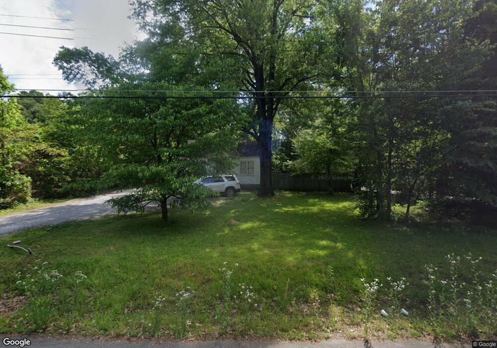
1248 Dovecrest Rd Memphis, TN 38134
Cordova NeighborhoodEstimated Value: $86,702 - $179,000
2
Beds
1
Bath
780
Sq Ft
$165/Sq Ft
Est. Value
About This Home
This home is located at 1248 Dovecrest Rd, Memphis, TN 38134 and is currently estimated at $128,426, approximately $164 per square foot. 1248 Dovecrest Rd is a home located in Shelby County with nearby schools including White Station Elementary School, White Station Middle, and White Station High.
Ownership History
Date
Name
Owned For
Owner Type
Purchase Details
Closed on
Mar 3, 2021
Sold by
Miles Bobby
Bought by
Ahmed Saadi
Current Estimated Value
Purchase Details
Closed on
Dec 4, 2020
Sold by
Miles Bobby
Bought by
Ahmed Saadi
Purchase Details
Closed on
Nov 15, 1999
Sold by
Mcalpin Juanita H and Starr Rs Rs H
Bought by
Miles Bobby
Home Financials for this Owner
Home Financials are based on the most recent Mortgage that was taken out on this home.
Original Mortgage
$48,000
Interest Rate
7.7%
Purchase Details
Closed on
Jun 8, 1998
Sold by
Hawks Noley D
Bought by
Mcalpin Juanita H and Starr Martha H
Create a Home Valuation Report for This Property
The Home Valuation Report is an in-depth analysis detailing your home's value as well as a comparison with similar homes in the area
Home Values in the Area
Average Home Value in this Area
Purchase History
| Date | Buyer | Sale Price | Title Company |
|---|---|---|---|
| Ahmed Saadi | $55,000 | Regency Title & Escrow Llc | |
| Ahmed Saadi | $55,000 | Regency Title & Escrow | |
| Miles Bobby | $57,500 | -- | |
| Mcalpin Juanita H | -- | Stewart Title Company |
Source: Public Records
Mortgage History
| Date | Status | Borrower | Loan Amount |
|---|---|---|---|
| Previous Owner | Miles Bobby | $48,000 |
Source: Public Records
Tax History Compared to Growth
Tax History
| Year | Tax Paid | Tax Assessment Tax Assessment Total Assessment is a certain percentage of the fair market value that is determined by local assessors to be the total taxable value of land and additions on the property. | Land | Improvement |
|---|---|---|---|---|
| 2025 | $631 | $24,800 | $4,250 | $20,550 |
| 2024 | $631 | $18,625 | $4,175 | $14,450 |
| 2023 | $1,135 | $18,625 | $4,175 | $14,450 |
| 2022 | $1,135 | $18,625 | $4,175 | $14,450 |
| 2021 | $1,148 | $18,625 | $4,175 | $14,450 |
| 2020 | $360 | $11,250 | $4,175 | $7,075 |
| 2019 | $360 | $11,250 | $4,175 | $7,075 |
| 2018 | $360 | $11,250 | $4,175 | $7,075 |
| 2017 | $368 | $11,250 | $4,175 | $7,075 |
| 2016 | $473 | $10,825 | $0 | $0 |
| 2014 | $473 | $10,825 | $0 | $0 |
Source: Public Records
Map
Nearby Homes
- 1289 Heathcliff Dr
- 1339 Mullins Station Rd
- 1472 Kinilwood St
- 0 Mullins Station Rd
- 6378 Limewood Ave
- 6690 Whitten Pine Dr
- 6774 Whitten Pine Dr
- 1461 Phillips Rd
- 6830 Garmin Ln
- 6840 Kamali Ave
- 6838 Lagrange Cir N
- 5583 Crestview Rd
- 6840 Lagrange Pines Rd
- 6880 Wrigley Dr
- 5554 Massey Station Rd
- 5573 Pleasant View Rd Unit 35
- 6916 Lagrange Pines Rd
- 1751 Fox Hunt Ln Unit 5
- 0 Summer Ave Unit 10195870
- 0 Summer Ave Unit 10200827
- 1234 Dovecrest Rd
- 1256 Dovecrest Rd
- 1228 Dovecrest Rd
- 1264 Dovecrest Rd
- 1222 Dovecrest Rd
- 1266 Sycamore View Rd
- 6170 Thrushoaks Cove
- 1206 Dovecrest Rd
- 6165 Thrushoaks Cove
- 6180 Thrushoaks Cove
- 1209 Dovecrest Rd
- 1249 Garden Rd
- 6190 Thrushoaks Cove
- 6169 Thrushoaks Cove
- 1243 Garden Rd
- 1233 Garden Rd
- 6200 Thrushoaks Cove
- 1197 Dovecrest Rd
- 6179 Thrushoaks Cove
- 1223 Garden Rd