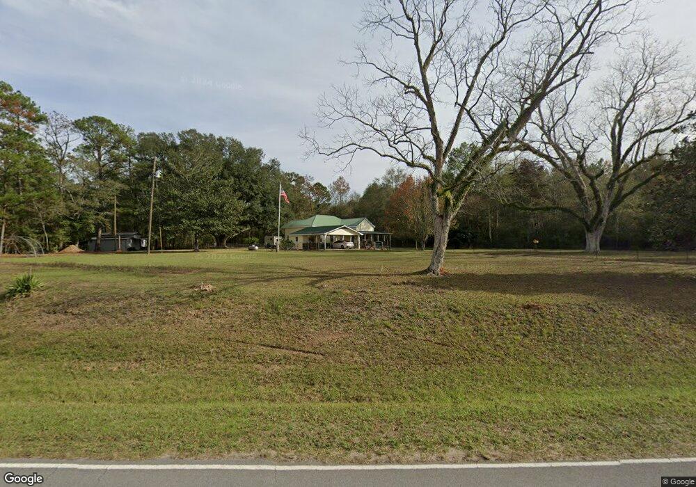
1248 Fig Farm Rd Lucedale, MS 39452
Estimated Value: $159,000 - $210,000
--
Bed
--
Bath
2,212
Sq Ft
$82/Sq Ft
Est. Value
About This Home
This home is located at 1248 Fig Farm Rd, Lucedale, MS 39452 and is currently estimated at $182,359, approximately $82 per square foot. 1248 Fig Farm Rd is a home with nearby schools including George County High School.
Ownership History
Date
Name
Owned For
Owner Type
Purchase Details
Closed on
Oct 8, 2020
Sold by
Faircloth Edmund Alexander and Carr Molly
Bought by
Hopson Martha A and Hopson Philip K
Current Estimated Value
Home Financials for this Owner
Home Financials are based on the most recent Mortgage that was taken out on this home.
Original Mortgage
$85,000
Outstanding Balance
$75,603
Interest Rate
2.9%
Mortgage Type
New Conventional
Estimated Equity
$106,756
Purchase Details
Closed on
Dec 31, 2018
Sold by
Roberts Albert James and Roberts Elizabeth K
Bought by
Faircloth Edmund Alexander
Purchase Details
Closed on
Dec 22, 2017
Sold by
Faircloth Bertha J and Roberts Albert James
Bought by
Roberts Albert James and Roberts Elizabeth K
Create a Home Valuation Report for This Property
The Home Valuation Report is an in-depth analysis detailing your home's value as well as a comparison with similar homes in the area
Home Values in the Area
Average Home Value in this Area
Purchase History
| Date | Buyer | Sale Price | Title Company |
|---|---|---|---|
| Hopson Martha A | -- | None Available | |
| Faircloth Edmund Alexander | -- | None Available | |
| Roberts Albert James | -- | None Available |
Source: Public Records
Mortgage History
| Date | Status | Borrower | Loan Amount |
|---|---|---|---|
| Open | Hopson Martha A | $85,000 |
Source: Public Records
Tax History Compared to Growth
Tax History
| Year | Tax Paid | Tax Assessment Tax Assessment Total Assessment is a certain percentage of the fair market value that is determined by local assessors to be the total taxable value of land and additions on the property. | Land | Improvement |
|---|---|---|---|---|
| 2024 | -- | $6,455 | $0 | $0 |
| 2022 | $0 | $6,459 | $0 | $0 |
| 2021 | $529 | $6,440 | $0 | $0 |
| 2020 | $503 | $6,127 | $0 | $0 |
| 2019 | $503 | $6,128 | $0 | $0 |
| 2018 | $1,122 | $9,178 | $0 | $0 |
| 2015 | -- | $6,040 | $0 | $0 |
| 2014 | -- | $6,038 | $0 | $0 |
Source: Public Records
Map
Nearby Homes
- 116 Finch Rd
- 2203 Fig Farm Rd
- 0 Richard Reeves Rd
- The Aria Plan at Kings Crossing
- The Freeport Plan at Kings Crossing
- The Aldridge Plan at Kings Crossing
- 34 Monarch Dr
- 50 Monarch Dr
- 80 Monarch Dr
- 202 Howell Rd
- 32 Crown Dr
- 29 Crown Dr
- 134 Live Oak Dr
- 1109 Country Hill Rd
- 15273 Highway 26 W
- 3281 Main St
- Lot 10 Conner Stringer Dr
- 45 Sinclair St
- 0 Country Hill Rd
- Country Hill Rd
- 1208 Fig Farm Rd
- 1208 Fig Farm Rd
- 1208 Fig Farm Rd
- 123 Merritt Rd
- 1208A 1208 Fig Farm Unit A
- 2125 Fig Farm Rd
- 1 Merritt Rd
- 1188 Fig Farm Rd
- 200 Pipkins Cemetery Rd
- 0 Pipkins Cemetary Rd Unit 3253497
- 2142 Fig Farm Rd
- 192 Pipkins Cemetery Rd
- 1171 Fig Farm Rd
- 112 Tom Havard Rd
- 110 Eugenes Rd
- 203 Merritt Rd
- 159 Pipkins Cemetery Rd
- 218 Merritt Rd
- 117 Pipkins Cemetery Rd
- 162 Mcintosh Rd