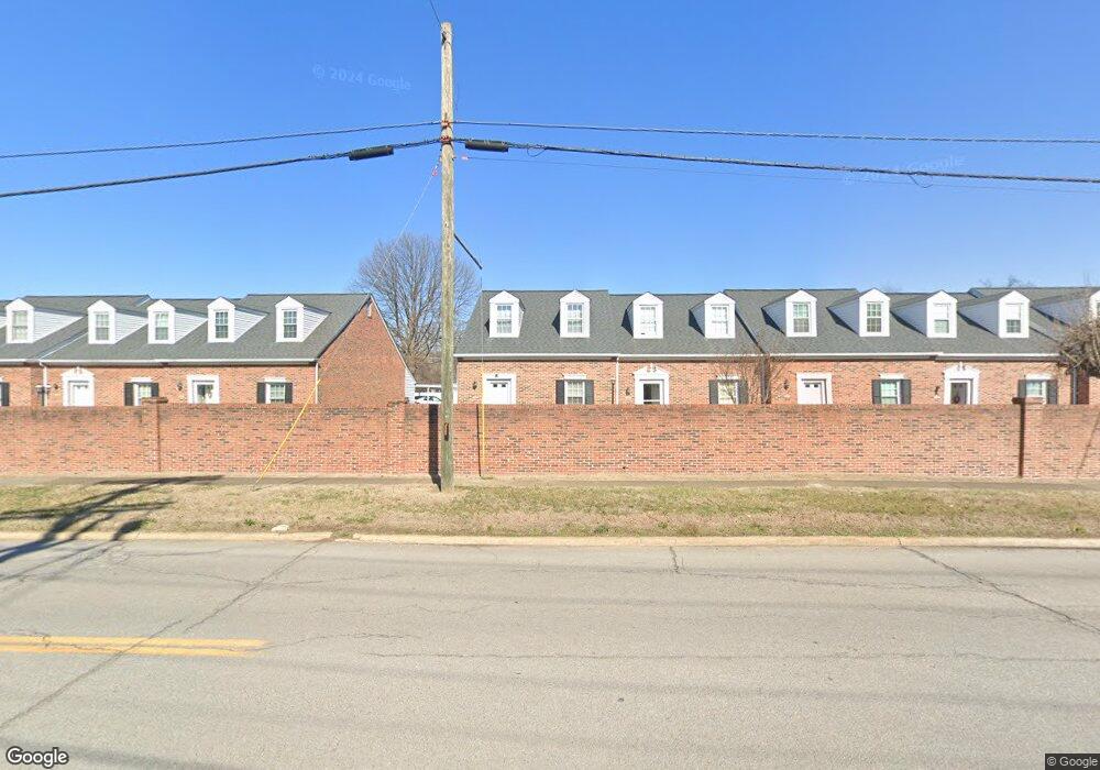
1248 Konnarock Rd Kingsport, TN 37664
Estimated Value: $181,000 - $199,000
--
Bed
2
Baths
924
Sq Ft
$205/Sq Ft
Est. Value
About This Home
This home is located at 1248 Konnarock Rd, Kingsport, TN 37664 and is currently estimated at $189,778, approximately $205 per square foot. 1248 Konnarock Rd is a home located in Sullivan County with nearby schools including Andrew Johnson Elementary School, Ross N. Robinson Middle School, and Dobyns-Bennett High School.
Ownership History
Date
Name
Owned For
Owner Type
Purchase Details
Closed on
Mar 4, 2025
Sold by
Helton George D
Bought by
Helton George D and Brown Lisa Renee
Current Estimated Value
Purchase Details
Closed on
Jul 10, 2014
Sold by
Hoover Della M
Bought by
Helton George D and Helton Earleen W
Home Financials for this Owner
Home Financials are based on the most recent Mortgage that was taken out on this home.
Original Mortgage
$66,000
Interest Rate
4.26%
Mortgage Type
New Conventional
Create a Home Valuation Report for This Property
The Home Valuation Report is an in-depth analysis detailing your home's value as well as a comparison with similar homes in the area
Home Values in the Area
Average Home Value in this Area
Purchase History
| Date | Buyer | Sale Price | Title Company |
|---|---|---|---|
| Helton George D | -- | None Listed On Document | |
| Helton George D | -- | None Listed On Document | |
| Helton George D | $82,500 | -- |
Source: Public Records
Mortgage History
| Date | Status | Borrower | Loan Amount |
|---|---|---|---|
| Previous Owner | Helton George D | $66,000 |
Source: Public Records
Tax History Compared to Growth
Tax History
| Year | Tax Paid | Tax Assessment Tax Assessment Total Assessment is a certain percentage of the fair market value that is determined by local assessors to be the total taxable value of land and additions on the property. | Land | Improvement |
|---|---|---|---|---|
| 2024 | -- | $25,600 | $3,175 | $22,425 |
| 2023 | $1,128 | $25,600 | $3,175 | $22,425 |
| 2022 | $1,128 | $25,600 | $3,175 | $22,425 |
| 2021 | $1,097 | $25,600 | $3,175 | $22,425 |
| 2020 | $612 | $25,600 | $3,175 | $22,425 |
| 2019 | $1,104 | $23,825 | $3,175 | $20,650 |
| 2018 | $1,079 | $23,825 | $3,175 | $20,650 |
| 2017 | $1,079 | $23,825 | $3,175 | $20,650 |
| 2014 | $985 | $22,514 | $0 | $0 |
Source: Public Records
Map
Nearby Homes
- 2011 Bruce St
- 2228 Bruce St
- 2000 Eastwood Ave
- 2136 Cypress St
- 1383 Farragut Ave
- 1825 Kenwood Rd
- Lot 16 Birdwell St
- 2617 Birdwell St
- 1717 Oakwood Dr
- 1449 Warpath Dr
- 1657 Redwood Dr
- 1616 Hermitage Dr
- 2133 Stadium Dr
- 1604 Hermitage Dr
- 3025 Shipley St
- 2177 Steadman St
- 1433 Miller St
- 2221 Ashwood Ave
- 2217 Ashwood Ave
- Lot 17 Ashley St
- 1248 Konnarock Rd
- 1250 Konnarock Rd
- 1244 Konnarock Rd
- 1244 Konnarock Rd
- 1252 Konnarock Rd
- 1242 Konnarock Rd
- 1242 Konnarock Rd Unit 1242
- 1242 Konnarock Rd
- 1254 Konnarock Rd
- 1256 Konnarock Rd
- 1274 Konnarock Rd
- 1274 Konnarock Rd
- 1276 Konnarock Rd
- 1208 Konnarock Rd
- 1216 Konnarock Rd
- 1260 Konnarock Rd
- 1240 Konnarock Rd
- 1278 Konnarock Rd
- 1230 Konnarock Rd
- 1232 Konnarock Rd