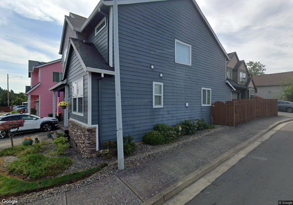
1248 SW 10th Way Troutdale, OR 97060
Town Center NeighborhoodEstimated Value: $503,000 - $609,000
4
Beds
3
Baths
2,310
Sq Ft
$233/Sq Ft
Est. Value
About This Home
This home is located at 1248 SW 10th Way, Troutdale, OR 97060 and is currently estimated at $539,234, approximately $233 per square foot. 1248 SW 10th Way is a home located in Multnomah County with nearby schools including Woodland Elementary School, Walt Morey Middle School, and Reynolds High School.
Ownership History
Date
Name
Owned For
Owner Type
Purchase Details
Closed on
Feb 17, 2010
Sold by
Glad Heart Llc
Bought by
Johnson Robert G and Johnson Rebecca L
Current Estimated Value
Home Financials for this Owner
Home Financials are based on the most recent Mortgage that was taken out on this home.
Original Mortgage
$201,600
Outstanding Balance
$132,832
Interest Rate
5.02%
Mortgage Type
New Conventional
Estimated Equity
$406,402
Create a Home Valuation Report for This Property
The Home Valuation Report is an in-depth analysis detailing your home's value as well as a comparison with similar homes in the area
Home Values in the Area
Average Home Value in this Area
Purchase History
| Date | Buyer | Sale Price | Title Company |
|---|---|---|---|
| Johnson Robert G | $252,000 | First American |
Source: Public Records
Mortgage History
| Date | Status | Borrower | Loan Amount |
|---|---|---|---|
| Open | Johnson Robert G | $201,600 |
Source: Public Records
Tax History Compared to Growth
Tax History
| Year | Tax Paid | Tax Assessment Tax Assessment Total Assessment is a certain percentage of the fair market value that is determined by local assessors to be the total taxable value of land and additions on the property. | Land | Improvement |
|---|---|---|---|---|
| 2025 | $4,647 | $251,470 | -- | -- |
| 2024 | $4,391 | $244,150 | -- | -- |
| 2023 | $4,276 | $237,040 | $0 | $0 |
| 2022 | $4,174 | $230,140 | $0 | $0 |
| 2021 | $4,076 | $223,440 | $0 | $0 |
| 2020 | $3,812 | $216,940 | $0 | $0 |
| 2019 | $3,659 | $210,630 | $0 | $0 |
| 2018 | $3,635 | $204,500 | $0 | $0 |
| 2017 | $3,627 | $198,550 | $0 | $0 |
| 2016 | $3,506 | $192,770 | $0 | $0 |
| 2015 | $3,418 | $187,160 | $0 | $0 |
| 2014 | $3,323 | $181,710 | $0 | $0 |
Source: Public Records
Map
Nearby Homes
- 1212 SW Edgefield Ave
- 1106 SW Dottie Ct
- 735 SW Sunset Way
- 809 SW Crestview Way
- 1018 SW Halsey St
- 821 SW 14th St
- 1226 SW Hensley Rd
- 988 SW 2nd Way
- 191 SW Lancaster Ct
- 1392 SW Berryessa Place
- 176 SW Hewitt Ave
- 839 SW Grant Way
- 125 SW Lancaster Ct
- 1953 SW Northstar Way
- 2020 SW Laura Ct
- 2326 SW Mcginnis Ave
- 1427 SW 24th St
- 116 Elm Ave
- 1021 SW 24th St
- 24066 NE Treehill Dr Unit 12
- 1236 SW 10th Way
- 1258 SW 10th Way
- 1259 SW 10th St
- 1224 SW 10th Way
- 1000 SW Edgefield Ave
- 1247 SW 10th Way
- 1243 SW 10th Way
- 1235 SW 10th Way
- 1227 SW 10th Way
- 1018 SW Edgefield Ave
- 1011 SW Edgefield Ave
- 1317 SW 10th St
- 1219 SW 10th Way
- 1036 SW Edgefield Ave
- 1312 SW 10th St
- 1331 SW 10th St
- 1050 SW Edgefieldreslisted
- 1050 SW Edgefield Ave
- 1279 SW 11th St
- 1328 SW 10th St