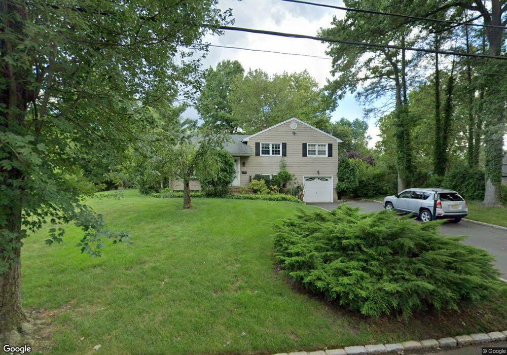
1248 Woodside Rd Scotch Plains, NJ 07076
Estimated Value: $534,608 - $850,000
--
Bed
--
Bath
1,584
Sq Ft
$473/Sq Ft
Est. Value
About This Home
This home is located at 1248 Woodside Rd, Scotch Plains, NJ 07076 and is currently estimated at $749,402, approximately $473 per square foot. 1248 Woodside Rd is a home located in Union County with nearby schools including William J. McGinn Elementary School, Terrill Middle School, and Scotch Plains-Fanwood High School.
Ownership History
Date
Name
Owned For
Owner Type
Purchase Details
Closed on
Jul 19, 2010
Sold by
Depaul Barbara and Depaul Kenneth
Bought by
Depaul Barbara and Depaul Kenneth
Current Estimated Value
Home Financials for this Owner
Home Financials are based on the most recent Mortgage that was taken out on this home.
Original Mortgage
$690,000
Interest Rate
2.12%
Mortgage Type
Reverse Mortgage Home Equity Conversion Mortgage
Create a Home Valuation Report for This Property
The Home Valuation Report is an in-depth analysis detailing your home's value as well as a comparison with similar homes in the area
Home Values in the Area
Average Home Value in this Area
Purchase History
| Date | Buyer | Sale Price | Title Company |
|---|---|---|---|
| Depaul Barbara | -- | Placer Title Co |
Source: Public Records
Mortgage History
| Date | Status | Borrower | Loan Amount |
|---|---|---|---|
| Closed | Depaul Barbara | $690,000 |
Source: Public Records
Tax History Compared to Growth
Tax History
| Year | Tax Paid | Tax Assessment Tax Assessment Total Assessment is a certain percentage of the fair market value that is determined by local assessors to be the total taxable value of land and additions on the property. | Land | Improvement |
|---|---|---|---|---|
| 2025 | $12,227 | $103,900 | $41,400 | $62,500 |
| 2024 | $11,866 | $103,900 | $41,400 | $62,500 |
| 2023 | $11,866 | $103,900 | $41,400 | $62,500 |
| 2022 | $11,725 | $103,900 | $41,400 | $62,500 |
| 2021 | $11,705 | $103,900 | $41,400 | $62,500 |
| 2020 | $11,649 | $103,900 | $41,400 | $62,500 |
| 2019 | $11,563 | $103,900 | $41,400 | $62,500 |
| 2018 | $11,369 | $103,900 | $41,400 | $62,500 |
| 2017 | $11,116 | $103,900 | $41,400 | $62,500 |
| 2016 | $10,902 | $103,900 | $41,400 | $62,500 |
| 2015 | $10,724 | $103,900 | $41,400 | $62,500 |
| 2014 | $10,370 | $103,900 | $41,400 | $62,500 |
Source: Public Records
Map
Nearby Homes
- 2116 Newark Ave
- 2154 W Broad St
- 1933 Mary Ellen Ln
- 1933 W Broad St
- 119 Lamberts Mill Rd
- 2 Brookside Ct
- 2212 Shady Ln
- 1466 Lamberts Mill Rd
- 314 Highgate Ave
- 2314 Longfellow Ave
- 187 King St
- 2219 North Ave Unit 6
- 345 La Grande Ave
- 120 S Martine Ave
- 5 Robin Rd
- 524 Edgar Rd
- 525 Edgar Rd
- 21 Old South Ave
- 350 W Dudley Ave
- 40 1st St
- 1254 Woodside Rd
- 1249 Maple Hill Rd
- 2070 Hill Top Rd
- 2066 Hill Top Rd
- 2060 Hill Top Rd
- 1247 Woodside Rd
- 1253 Woodside Rd
- 1253 Maple Hill Rd
- 1260 Woodside Rd
- 2054 Hill Top Rd
- 2082 Hill Top Rd
- 1259 Woodside Rd
- 14 Fieldcrest Dr
- 2088 Aldene Ave
- 1257 Maple Hill Rd
- 1266 Woodside Rd
- 1248 Maple Hill Rd
- 12 Fieldcrest Dr
- 1265 Woodside Rd
- 1287 White Oak Rd