Estimated Value: $203,721 - $267,000
5
Beds
1
Bath
1,732
Sq Ft
$134/Sq Ft
Est. Value
About This Home
This home is located at 12480 20b Rd, Argos, IN 46501 and is currently estimated at $231,930, approximately $133 per square foot. 12480 20b Rd is a home located in Marshall County with nearby schools including Argos Community Elementary School and Argos Community Junior-Senior High School.
Ownership History
Date
Name
Owned For
Owner Type
Purchase Details
Closed on
Jul 20, 2007
Sold by
Mills Mildred Colleen
Bought by
Craft Ronald R and Craft Linda K
Current Estimated Value
Home Financials for this Owner
Home Financials are based on the most recent Mortgage that was taken out on this home.
Original Mortgage
$120,919
Outstanding Balance
$75,532
Interest Rate
6.76%
Mortgage Type
VA
Estimated Equity
$156,398
Purchase Details
Closed on
Apr 6, 2005
Sold by
Schnmidlapp Dean
Bought by
Mills Mildred Colleen and Schmidlapp Mildred Colleen
Home Financials for this Owner
Home Financials are based on the most recent Mortgage that was taken out on this home.
Original Mortgage
$55,000
Interest Rate
5.82%
Mortgage Type
New Conventional
Purchase Details
Closed on
Nov 22, 2002
Sold by
Dean Schmidlapp
Bought by
Schmidlapp Dean and Schmidlapp Mildred Colleen
Create a Home Valuation Report for This Property
The Home Valuation Report is an in-depth analysis detailing your home's value as well as a comparison with similar homes in the area
Purchase History
| Date | Buyer | Sale Price | Title Company |
|---|---|---|---|
| Craft Ronald R | -- | None Available | |
| Mills Mildred Colleen | -- | None Available | |
| Schmidlapp Dean | -- | -- |
Source: Public Records
Mortgage History
| Date | Status | Borrower | Loan Amount |
|---|---|---|---|
| Open | Craft Ronald R | $120,919 | |
| Previous Owner | Mills Mildred Colleen | $55,000 |
Source: Public Records
Tax History
| Year | Tax Paid | Tax Assessment Tax Assessment Total Assessment is a certain percentage of the fair market value that is determined by local assessors to be the total taxable value of land and additions on the property. | Land | Improvement |
|---|---|---|---|---|
| 2024 | $842 | $145,000 | $34,300 | $110,700 |
| 2023 | $842 | $131,700 | $34,300 | $97,400 |
| 2022 | $842 | $129,700 | $33,000 | $96,700 |
| 2021 | $698 | $107,600 | $28,700 | $78,900 |
| 2020 | $528 | $103,400 | $27,600 | $75,800 |
| 2019 | $362 | $88,800 | $26,000 | $62,800 |
| 2018 | $397 | $79,000 | $22,200 | $56,800 |
| 2017 | $409 | $76,000 | $21,600 | $54,400 |
| 2016 | $397 | $74,200 | $21,000 | $53,200 |
| 2014 | $340 | $71,800 | $20,800 | $51,000 |
Source: Public Records
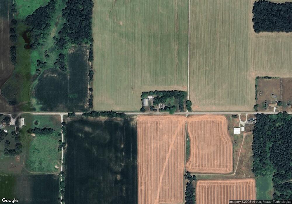
Map
Nearby Homes
- 3981 W State Road 110
- 14036 20a Rd
- 15871 18th Rd
- 19119 Queen Rd
- 204 Fawn Ct
- 17052 Indiana 110
- 314 W Walnut St
- ** State Road 10
- * State Road 10
- 4108 N 100 W
- 413 E Albert St
- 7697 20th Rd
- 645 Heritage St
- 0 N Michigan Rd Unit 202531722
- 944 S Shore Dr
- 385 E Marshall St
- *** **** Jarrah Rd
- *** *** Jarrah Rd
- 1779 W Olson Rd
- 6492 W Olson Rd
- 12641 W 20b Rd
- 12275 20b Rd
- 12250 20b Rd
- 12727 20b Rd
- 12154 20b Rd
- 12023 20b Rd
- 12897 20b Rd
- 20257 Maple Rd
- 20203 Maple Rd
- 20560 Maple Rd
- 12662 State Road 110
- 2849 W State Road 110
- 7989 N 300 W
- 20120 Muckshaw Rd
- 13027 20b Rd
- 20216 Muckshaw Rd
- 20260 Maple Rd
- 20822 Muckshaw Rd
- 7871 N 300 W
- 11750 20b Rd
Your Personal Tour Guide
Ask me questions while you tour the home.