12480 Abrams Rd Unit 128A Dallas, TX 75243
Lake Highlands NeighborhoodEstimated Value: $102,703 - $129,000
1
Bed
1
Bath
687
Sq Ft
$163/Sq Ft
Est. Value
About This Home
This home is located at 12480 Abrams Rd Unit 128A, Dallas, TX 75243 and is currently estimated at $111,676, approximately $162 per square foot. 12480 Abrams Rd Unit 128A is a home located in Dallas County with nearby schools including Aikin Elementary School, Forest Meadow Junior High School, and Lake Highlands High School.
Ownership History
Date
Name
Owned For
Owner Type
Purchase Details
Closed on
Jun 27, 2012
Sold by
Deutsche Bank National Trust Company
Bought by
Kao Frank Sheue Feng and Wang Chunxia
Current Estimated Value
Purchase Details
Closed on
Feb 7, 2012
Sold by
Grullon Jose A and Izquierdo David E
Bought by
Deutsche Bank National Trust Company
Purchase Details
Closed on
Jun 26, 2006
Sold by
Clayton J F and Clayton Cherry
Bought by
Izquierdo David E and Grullon Jose A
Home Financials for this Owner
Home Financials are based on the most recent Mortgage that was taken out on this home.
Original Mortgage
$25,317
Interest Rate
6.58%
Mortgage Type
Purchase Money Mortgage
Create a Home Valuation Report for This Property
The Home Valuation Report is an in-depth analysis detailing your home's value as well as a comparison with similar homes in the area
Home Values in the Area
Average Home Value in this Area
Purchase History
| Date | Buyer | Sale Price | Title Company |
|---|---|---|---|
| Kao Frank Sheue Feng | -- | None Available | |
| Deutsche Bank National Trust Company | $26,350 | None Available | |
| Izquierdo David E | -- | Rtt |
Source: Public Records
Mortgage History
| Date | Status | Borrower | Loan Amount |
|---|---|---|---|
| Previous Owner | Izquierdo David E | $25,317 |
Source: Public Records
Tax History
| Year | Tax Paid | Tax Assessment Tax Assessment Total Assessment is a certain percentage of the fair market value that is determined by local assessors to be the total taxable value of land and additions on the property. | Land | Improvement |
|---|---|---|---|---|
| 2025 | $2,414 | $103,050 | $17,870 | $85,180 |
| 2024 | $2,414 | $103,050 | $17,870 | $85,180 |
| 2023 | $2,414 | $85,880 | $17,870 | $68,010 |
| 2022 | $2,259 | $85,880 | $17,870 | $68,010 |
| 2021 | $1,662 | $59,770 | $17,870 | $41,900 |
| 2020 | $1,686 | $59,770 | $17,870 | $41,900 |
| 2019 | $1,765 | $59,770 | $17,870 | $41,900 |
| 2018 | $1,165 | $41,220 | $7,440 | $33,780 |
| 2017 | $1,165 | $41,220 | $7,440 | $33,780 |
| 2016 | $971 | $34,350 | $7,440 | $26,910 |
| 2015 | $476 | $20,610 | $7,440 | $13,170 |
| 2014 | $476 | $17,000 | $7,440 | $9,560 |
Source: Public Records
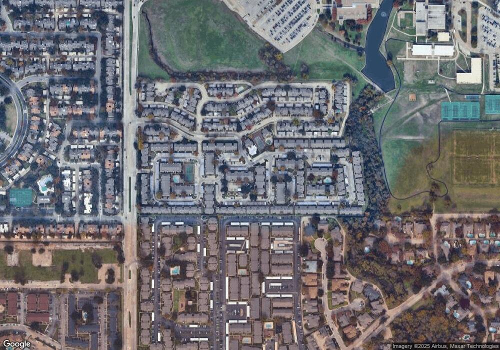
Map
Nearby Homes
- 12480 Abrams Rd Unit 221
- 12482 Abrams Rd Unit 1402
- 12480 Abrams Rd Unit 723
- 12482 Abrams Rd Unit 1427
- 12480 Abrams Rd Unit 2722
- 12480 Abrams Rd Unit 705
- 12480 Abrams Rd Unit 2807
- 12480 Abrams Rd Unit 201
- 12484 Abrams Rd Unit 2121
- 13031 Burninglog Ln
- 13220 Woodbend Ln
- 12554 Burninglog Ln
- 12748 Burninglog Ln
- 9446 Chimney Corner Ln
- 9611 Baseline Dr
- 9250 Flickering Shadow Dr
- 9228 Flickering Shadow Dr
- 9818 Bent Branch Ln
- 104 Bower Ln
- 9702 Amberton Pkwy
- 12482 Abrams Rd Unit 1428
- 12480 Abrams Rd Unit 226
- 12484 Abrams Rd Unit 1926
- 12480 Abrams Rd Unit 127
- 12480 Abrams Rd Unit 405J
- 12480 Abrams Rd Unit 227G
- 12480 Abrams Rd Unit 225G
- 12480 Abrams Rd Unit 123A
- 12480 Abrams Rd Unit 503K
- 12480 Abrams Rd Unit 706
- 12480 Abrams Rd Unit 605L
- 12482 Abrams Rd Unit 1206
- 12484 Abrams Rd Unit 1724Y
- 12480 Abrams Rd Unit 208G
- 12480 Abrams Rd Unit 601L
- 12482 Abrams Rd Unit 807
- 12480 Abrams Rd Unit 626L
- 12480 Abrams Rd Unit 226
- 12480 Abrams Rd Unit 704E
- 12482 Abrams Rd Unit 1202S
Your Personal Tour Guide
Ask me questions while you tour the home.