12488 Earl Rd Stockbridge, MI 49285
Estimated Value: $217,000 - $370,000
3
Beds
2
Baths
1,230
Sq Ft
$244/Sq Ft
Est. Value
About This Home
This home is located at 12488 Earl Rd, Stockbridge, MI 49285 and is currently estimated at $299,667, approximately $243 per square foot. 12488 Earl Rd is a home located in Jackson County with nearby schools including Emma Smith Elementary School, Heritage School, and Stockbridge High School.
Ownership History
Date
Name
Owned For
Owner Type
Purchase Details
Closed on
Nov 25, 2003
Sold by
Randolph Custom Homes Llc
Bought by
Green Brian E and Green Lynn A
Current Estimated Value
Home Financials for this Owner
Home Financials are based on the most recent Mortgage that was taken out on this home.
Original Mortgage
$132,650
Outstanding Balance
$62,025
Interest Rate
6.01%
Mortgage Type
Unknown
Estimated Equity
$237,642
Purchase Details
Closed on
Aug 6, 2003
Sold by
March James T and March Sharon L
Bought by
Randolph Custom Homes Llc
Create a Home Valuation Report for This Property
The Home Valuation Report is an in-depth analysis detailing your home's value as well as a comparison with similar homes in the area
Home Values in the Area
Average Home Value in this Area
Purchase History
| Date | Buyer | Sale Price | Title Company |
|---|---|---|---|
| Green Brian E | $165,700 | -- | |
| Randolph Custom Homes Llc | $26,775 | -- |
Source: Public Records
Mortgage History
| Date | Status | Borrower | Loan Amount |
|---|---|---|---|
| Open | Green Brian E | $132,650 |
Source: Public Records
Tax History Compared to Growth
Tax History
| Year | Tax Paid | Tax Assessment Tax Assessment Total Assessment is a certain percentage of the fair market value that is determined by local assessors to be the total taxable value of land and additions on the property. | Land | Improvement |
|---|---|---|---|---|
| 2025 | $1,774 | $121,900 | $121,900 | $0 |
| 2024 | $720 | $118,100 | $118,100 | $0 |
| 2023 | $686 | $101,600 | $101,600 | $0 |
| 2022 | $1,662 | $86,800 | $86,800 | $0 |
| 2021 | $1,638 | $88,400 | $88,400 | $0 |
| 2020 | $1,619 | $87,900 | $0 | $0 |
| 2019 | $1,558 | $83,400 | $0 | $0 |
| 2018 | $1,523 | $76,200 | $0 | $0 |
| 2017 | $1,431 | $71,800 | $0 | $0 |
| 2016 | $583 | $72,417 | $72,417 | $0 |
| 2015 | -- | $59,639 | $59,639 | $0 |
| 2014 | -- | $52,873 | $0 | $0 |
| 2013 | -- | $52,873 | $52,873 | $0 |
Source: Public Records
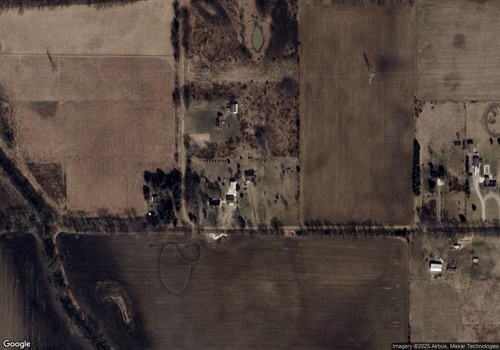
Map
Nearby Homes
- 5313 Parman Rd
- 223 N Main St
- 2598 Heeney Rd
- 0 Bunkerhill Rd Unit LotWP001 23718516
- 9426 Kennedy Rd Unit 72AC
- 37 Indian Trail
- 2600 Heeney Rd
- 2928 Heeney Rd
- 0 Hankerd Unit 25051333
- 10976 Dewey Rd
- 10412 Hankerd Rd
- 10464 Hankerd Rd
- 7762 Coon Hill Rd
- 7752 Coon Hill Rd
- 0 Vicary Rd
- 3405 Heeney Rd
- 104 Clyde James Rd
- 4500 Chapman Rd
- 4845 Moechel Rd
- v/l Bunkerhill Rd
- 12500 Earl Rd
- 12553 Earl Rd
- 0 Earl Rd Unit 20028324
- 0 Earl Rd Unit 21040050
- 0 Earl Rd Unit 75994
- 12542 Earl Rd
- 12462 Earl Rd
- 12459 Earl Rd
- 12770 Earl Rd
- 0 Earl Dr Unit 201600326
- 0 Earl Dr Unit M21039258
- 12454 Earl Rd
- 12440 Earl Rd
- 12800 Earl Rd
- 12441 Earl Rd
- 13588 Fitchburg Rd
- 12428 Earl Rd
- 13656 Fitchburg Rd
- 13482 Fitchburg Rd
- 13792 Fitchburg Rd