12490 Cannon Ball Run Mc Calla, AL 35111
Estimated Value: $676,000 - $943,304
4
Beds
4
Baths
4,152
Sq Ft
$196/Sq Ft
Est. Value
About This Home
This home is located at 12490 Cannon Ball Run, Mc Calla, AL 35111 and is currently estimated at $814,826, approximately $196 per square foot. 12490 Cannon Ball Run is a home located in Tuscaloosa County with nearby schools including Lake View Elementary School, Brookwood Middle School, and Brookwood High School.
Ownership History
Date
Name
Owned For
Owner Type
Purchase Details
Closed on
Jun 7, 2021
Sold by
Hood Phyllis B
Bought by
Woodruff Bryce
Current Estimated Value
Purchase Details
Closed on
Feb 14, 2019
Sold by
Shilland April
Bought by
White Christopher Scott and White Elizabeth
Purchase Details
Closed on
May 16, 2013
Sold by
Cruce Robert Kevin
Bought by
Shilland Peter
Home Financials for this Owner
Home Financials are based on the most recent Mortgage that was taken out on this home.
Original Mortgage
$26,000
Interest Rate
3.42%
Mortgage Type
Commercial
Create a Home Valuation Report for This Property
The Home Valuation Report is an in-depth analysis detailing your home's value as well as a comparison with similar homes in the area
Home Values in the Area
Average Home Value in this Area
Purchase History
| Date | Buyer | Sale Price | Title Company |
|---|---|---|---|
| Woodruff Bryce | $840,000 | -- | |
| White Christopher Scott | $330,000 | -- | |
| Shilland Peter | $40,000 | -- |
Source: Public Records
Mortgage History
| Date | Status | Borrower | Loan Amount |
|---|---|---|---|
| Previous Owner | Shilland Peter | $26,000 |
Source: Public Records
Tax History Compared to Growth
Tax History
| Year | Tax Paid | Tax Assessment Tax Assessment Total Assessment is a certain percentage of the fair market value that is determined by local assessors to be the total taxable value of land and additions on the property. | Land | Improvement |
|---|---|---|---|---|
| 2024 | $4,136 | $143,180 | $7,200 | $135,980 |
| 2023 | $3,866 | $135,260 | $7,200 | $128,060 |
| 2022 | $3,196 | $118,380 | $7,200 | $111,180 |
| 2021 | $1,552 | $118,380 | $7,200 | $111,180 |
| 2020 | $1,371 | $52,510 | $3,600 | $48,910 |
| 2019 | $1,390 | $52,510 | $3,600 | $48,910 |
| 2018 | $1,371 | $52,510 | $3,600 | $48,910 |
| 2017 | $1,263 | $0 | $0 | $0 |
| 2016 | $1,257 | $0 | $0 | $0 |
| 2015 | $1,257 | $0 | $0 | $0 |
| 2014 | $1,146 | $44,180 | $3,600 | $40,580 |
Source: Public Records
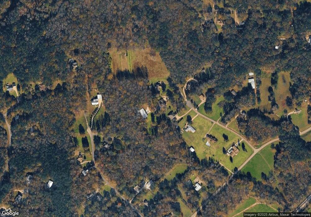
Map
Nearby Homes
- 0 Bridewell Cir
- 22507 Rosser Ln
- 22544 Iron Masters Loop
- 11970 Foundry Cir
- The Cali Plan at Tannehill
- The Aaron Plan at Tannehill
- The Freeport Plan at Tannehill
- The Arden Plan at Tannehill
- The Penwell Plan at Tannehill
- The Aldridge Plan at Tannehill
- The Lakeside Plan at Tannehill
- 12718 Ironstone Dr
- 12724 Ironstone Dr
- 22873 Downing Park Cir
- 12736 Ironstone Dr
- 12742 Ironstone Dr
- 12748 Ironstone Dr
- 12880 Collier Curve
- 12754 Ironstone Dr
- 0 Tannehill Pkwy Unit 54712
- 12494 Cannonball Run
- 12490 Cannonball Run
- 12454 Wagon Wheel Trace
- 12421 Wagon Wheel Trace
- 12466 Cannon Ball Run
- 12489 Cannon Ball Run
- 12489 Cannonball Run
- 12444 Cannon Ball Run
- 12430 Wagon Wheel Trace
- 12459 Wagon Wheel Trace
- 12497 Cannon Ball Run
- 12375 Wagon Wheel Trace
- 22686 Heritage Dr
- 12388 Wagon Wheel Trace
- 12424 Cannon Ball Run
- 12421 Mcmath Cir
- 12431 Cannon Ball Run
- 22383 Old Village Rd
- 22640 Heritage Dr
- 22405 Old Village Rd