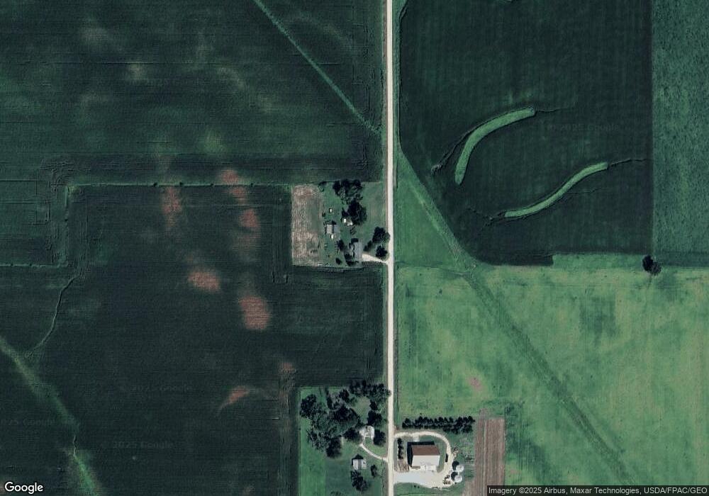
12491 W Ave Cedar Falls, IA 50613
Estimated Value: $363,000 - $556,000
4
Beds
2
Baths
2,016
Sq Ft
$223/Sq Ft
Est. Value
About This Home
This home is located at 12491 W Ave, Cedar Falls, IA 50613 and is currently estimated at $449,902, approximately $223 per square foot. 12491 W Ave is a home located in Grundy County with nearby schools including New Hartford Elementary School, Dike Elementary School, and Dike-New Hartford Junior High School.
Ownership History
Date
Name
Owned For
Owner Type
Purchase Details
Closed on
Mar 4, 2011
Sold by
Boe Thomas E and Boe Patricia R
Bought by
Lheureux Jeremy and Lheureux Ginger I
Current Estimated Value
Home Financials for this Owner
Home Financials are based on the most recent Mortgage that was taken out on this home.
Original Mortgage
$220,500
Outstanding Balance
$137,133
Interest Rate
2.87%
Mortgage Type
Adjustable Rate Mortgage/ARM
Estimated Equity
$312,769
Create a Home Valuation Report for This Property
The Home Valuation Report is an in-depth analysis detailing your home's value as well as a comparison with similar homes in the area
Home Values in the Area
Average Home Value in this Area
Purchase History
| Date | Buyer | Sale Price | Title Company |
|---|---|---|---|
| Lheureux Jeremy | $244,500 | -- |
Source: Public Records
Mortgage History
| Date | Status | Borrower | Loan Amount |
|---|---|---|---|
| Open | Lheureux Jeremy | $220,500 |
Source: Public Records
Tax History Compared to Growth
Tax History
| Year | Tax Paid | Tax Assessment Tax Assessment Total Assessment is a certain percentage of the fair market value that is determined by local assessors to be the total taxable value of land and additions on the property. | Land | Improvement |
|---|---|---|---|---|
| 2024 | $4,236 | $349,410 | $95,700 | $253,710 |
| 2023 | $4,114 | $349,410 | $95,700 | $253,710 |
| 2022 | $3,488 | $277,520 | $75,800 | $201,720 |
| 2021 | $3,488 | $277,520 | $75,800 | $201,720 |
| 2020 | $2,714 | $263,080 | $75,800 | $187,280 |
| 2019 | $2,406 | $204,084 | $15,434 | $188,650 |
| 2018 | $2,330 | $193,227 | $20,947 | $172,280 |
| 2017 | $2,364 | $193,227 | $20,947 | $172,280 |
| 2016 | $2,364 | $197,478 | $0 | $0 |
| 2015 | $2,364 | $176,806 | $0 | $0 |
| 2014 | $2,080 | $176,806 | $0 | $0 |
Source: Public Records
Map
Nearby Homes
- 12643 N Pioneer
- 0 N Pioneer
- 14949 W Ave
- 30126 Westbrook St
- 0 Tbd Beaver Valley St
- 905 Beaver St
- 1636 Jepsen Rd
- 980 Fox Ridge Rd
- 101 Pine Ridge Rd
- 149 2nd St
- 27969 120th St
- TBD Beaver Valley St
- 31093 Beaver Valley St
- 400 E Elder St
- 607 4th St Unit North unit
- 0000 S Ave
- 617 4th St Unit middle unit
- 29406 Alice Rd
- 4718 Wild Horse Dr
- 1522 Pebble Stone Place
